22290 E Euclid Dr Aurora, CO 80016
Saddle Rock NeighborhoodEstimated Value: $565,000 - $643,000
3
Beds
3
Baths
3,448
Sq Ft
$177/Sq Ft
Est. Value
About This Home
This home is located at 22290 E Euclid Dr, Aurora, CO 80016 and is currently estimated at $611,728, approximately $177 per square foot. 22290 E Euclid Dr is a home located in Arapahoe County with nearby schools including Creekside Elementary School, Liberty Middle School, and Grandview High School.
Ownership History
Date
Name
Owned For
Owner Type
Purchase Details
Closed on
Dec 4, 2023
Sold by
Arnold Jason L and Arnold Troy A
Bought by
Arnold Ronald L and Arnold Karen A
Current Estimated Value
Purchase Details
Closed on
Oct 31, 2019
Sold by
Arnold Ronald L and Arnold Karen A
Bought by
Arnold Jason L and Arnold Troy A
Purchase Details
Closed on
Oct 28, 2016
Sold by
Dreher Mark W and Dreher Natalie M
Bought by
Arnold Ronald L and Arnold Karen A
Purchase Details
Closed on
Feb 28, 2007
Sold by
Norstar Residential Lllp
Bought by
Dreher Mark W and Dreher Natalie M
Home Financials for this Owner
Home Financials are based on the most recent Mortgage that was taken out on this home.
Original Mortgage
$302,720
Interest Rate
6.21%
Mortgage Type
Purchase Money Mortgage
Purchase Details
Closed on
Jun 16, 2006
Sold by
Saddle Ridge Golf Course Homes Lllp
Bought by
Norstar Residential Lllp
Create a Home Valuation Report for This Property
The Home Valuation Report is an in-depth analysis detailing your home's value as well as a comparison with similar homes in the area
Home Values in the Area
Average Home Value in this Area
Purchase History
| Date | Buyer | Sale Price | Title Company |
|---|---|---|---|
| Arnold Ronald L | -- | None Listed On Document | |
| Arnold Jason L | -- | None Available | |
| Arnold Ronald L | $415,000 | Stewart Title | |
| Dreher Mark W | $378,400 | Land Title Guarantee Company | |
| Norstar Residential Lllp | -- | None Available |
Source: Public Records
Mortgage History
| Date | Status | Borrower | Loan Amount |
|---|---|---|---|
| Previous Owner | Dreher Mark W | $302,720 |
Source: Public Records
Tax History
| Year | Tax Paid | Tax Assessment Tax Assessment Total Assessment is a certain percentage of the fair market value that is determined by local assessors to be the total taxable value of land and additions on the property. | Land | Improvement |
|---|---|---|---|---|
| 2025 | $4,802 | $37,663 | -- | -- |
| 2024 | $4,447 | $38,907 | -- | -- |
| 2023 | $4,447 | $38,907 | $0 | $0 |
| 2022 | $4,513 | $35,570 | $0 | $0 |
| 2021 | $4,511 | $35,570 | $0 | $0 |
| 2020 | $3,964 | $31,653 | $0 | $0 |
| 2019 | $3,884 | $31,653 | $0 | $0 |
| 2018 | $3,979 | $31,068 | $0 | $0 |
| 2017 | $3,948 | $31,068 | $0 | $0 |
| 2016 | $3,706 | $28,019 | $0 | $0 |
| 2015 | $3,572 | $28,019 | $0 | $0 |
| 2014 | $3,197 | $23,243 | $0 | $0 |
| 2013 | -- | $23,760 | $0 | $0 |
Source: Public Records
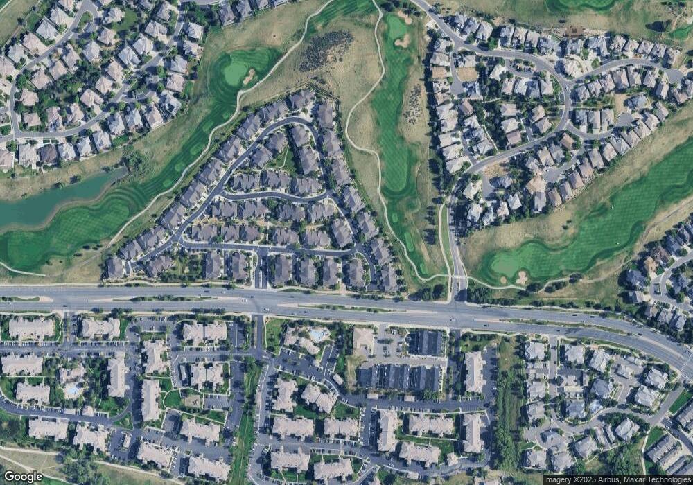
Map
Nearby Homes
- 22242 E Euclid Dr
- 22124 E Euclid Dr
- 6638 S Tibet Ct
- 22520 E Ontario Dr Unit 202
- 22545 E Ontario Dr Unit 102
- 22560 E Ontario Dr Unit 204
- 22580 E Ontario Dr Unit 104
- 22675 E Ontario Dr Unit 104
- 22675 E Ontario Dr Unit 202
- 22742 E Calhoun Place
- 6701 S Versailles Way Unit 106
- 22735 E Ottawa Place
- 22448 E Plymouth Cir
- 22785 E Ottawa Place
- 21916 E Costilla Dr
- 22800 E Briarwood Place
- 6333 S Sicily Way
- 22843 E Briarwood Place
- 22386 E Arbor Place
- 22019 E Arbor Dr
- 22282 E Euclid Dr
- 22280 E Euclid Dr
- 22287 E Calhoun Place
- 6657 S Shawnee Ct
- 22247 E Calhoun Place
- 22283 E Euclid Dr
- 22291 E Euclid Dr
- 6677 S Shawnee Ct
- 22309 E Euclid Dr
- 22281 E Euclid Dr
- 22207 E Calhoun Place
- 22266 E Euclid Place
- 22319 E Euclid Dr
- 6698 S Shawnee Ct
- 22273 E Euclid Dr
- 22236 E Euclid Place
- 6697 S Shawnee Ct
- 6676 S Shawnee St
- 22329 E Euclid Dr
- 22271 E Euclid Dr
Your Personal Tour Guide
Ask me questions while you tour the home.