222R Atlantic St Gloucester, MA 01930
West Gloucester NeighborhoodEstimated Value: $1,593,000 - $2,156,000
3
Beds
3
Baths
1,887
Sq Ft
$977/Sq Ft
Est. Value
About This Home
This home is located at 222R Atlantic St, Gloucester, MA 01930 and is currently estimated at $1,843,723, approximately $977 per square foot. 222R Atlantic St is a home located in Essex County with nearby schools including West Parish and Ralph B O'maley Middle School.
Ownership History
Date
Name
Owned For
Owner Type
Purchase Details
Closed on
Mar 31, 2011
Sold by
Rosenthal Hollie T and Noveletsky Leila G
Bought by
Gloucester City Of
Current Estimated Value
Purchase Details
Closed on
Mar 5, 2010
Sold by
Noveletsky Hollie T
Bought by
Noveletsky Leila G
Create a Home Valuation Report for This Property
The Home Valuation Report is an in-depth analysis detailing your home's value as well as a comparison with similar homes in the area
Home Values in the Area
Average Home Value in this Area
Purchase History
| Date | Buyer | Sale Price | Title Company |
|---|---|---|---|
| Gloucester City Of | $11,716 | -- | |
| Noveletsky Leila G | -- | -- |
Source: Public Records
Tax History Compared to Growth
Tax History
| Year | Tax Paid | Tax Assessment Tax Assessment Total Assessment is a certain percentage of the fair market value that is determined by local assessors to be the total taxable value of land and additions on the property. | Land | Improvement |
|---|---|---|---|---|
| 2025 | $19,548 | $2,011,100 | $1,450,800 | $560,300 |
| 2024 | $18,426 | $1,893,700 | $1,381,800 | $511,900 |
| 2023 | $14,964 | $1,413,000 | $982,200 | $430,800 |
| 2022 | $14,836 | $1,264,800 | $853,500 | $411,300 |
| 2021 | $14,328 | $1,151,800 | $776,200 | $375,600 |
| 2020 | $14,366 | $1,165,100 | $772,900 | $392,200 |
| 2019 | $14,406 | $1,135,200 | $737,000 | $398,200 |
| 2018 | $13,849 | $1,071,100 | $719,000 | $352,100 |
| 2017 | $13,679 | $1,037,100 | $685,000 | $352,100 |
| 2016 | $13,313 | $978,200 | $655,700 | $322,500 |
| 2015 | $12,725 | $932,200 | $640,800 | $291,400 |
Source: Public Records
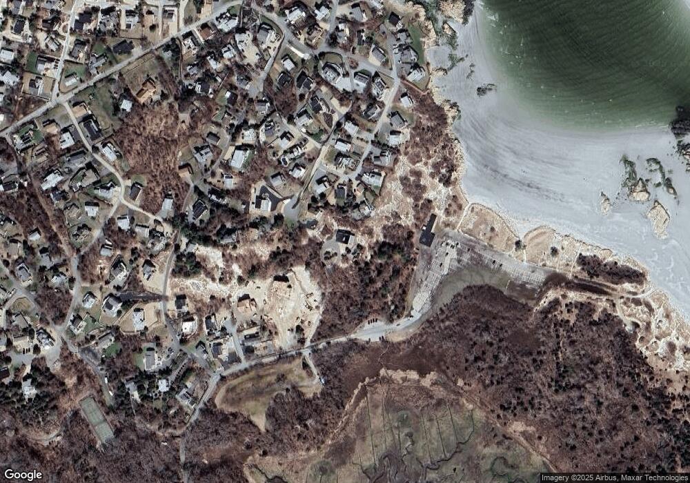
Map
Nearby Homes
- 226 Atlantic St
- 188 Atlantic St
- 6 River Rd
- 672 Washington St
- 49 Thurston Point Rd
- 30 Atlantic St
- 109 Riverview Rd
- 3 Colburn St
- 3 Colburn St Unit 1
- 3 Colburn St Unit 2
- 18 Cherry St
- 65 Poplar St
- 48 Rowley Shore
- 19 Mystic Ave
- 5 Samoset Rd Unit A
- 6 Beauport Ave
- 78 Grove St
- 196 Washington St
- 145 Essex Ave Unit 610
- 3 Stone Ct