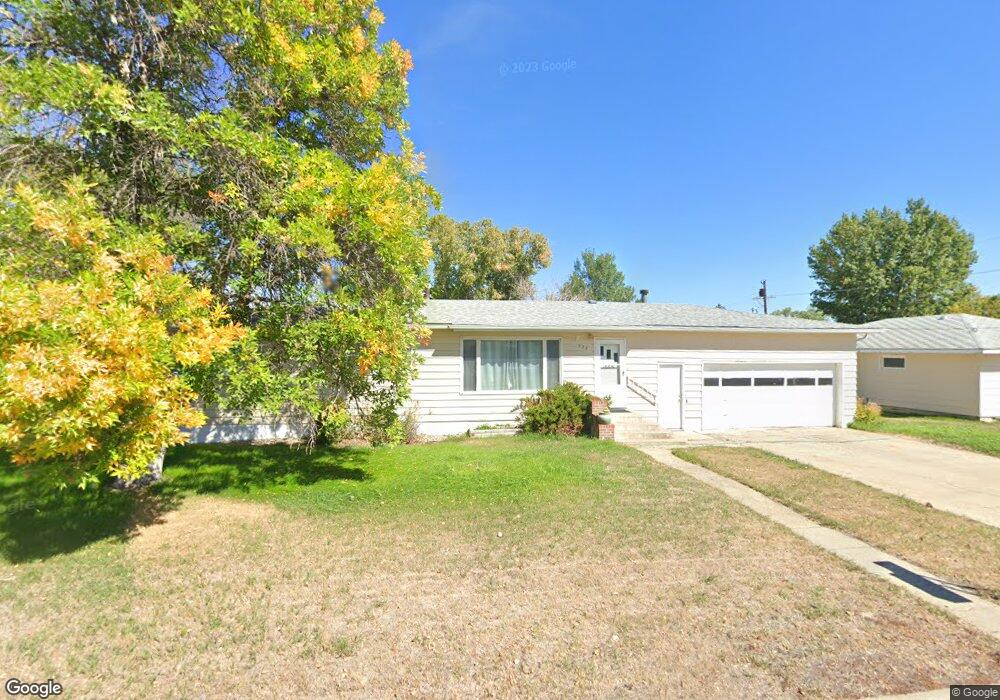
223 1st Ave NW Conrad, MT 59425
Estimated Value: $213,000 - $301,000
4
Beds
3
Baths
1,600
Sq Ft
$164/Sq Ft
Est. Value
About This Home
This home is located at 223 1st Ave NW, Conrad, MT 59425 and is currently estimated at $261,677, approximately $163 per square foot. 223 1st Ave NW is a home located in Pondera County with nearby schools including Meadowlark School, Utterback Middle School (7-8), and Conrad High School.
Ownership History
Date
Name
Owned For
Owner Type
Purchase Details
Closed on
Apr 27, 2020
Sold by
Kalbas Jody J and Kalbas Silva K
Bought by
Broesder Jenny
Current Estimated Value
Home Financials for this Owner
Home Financials are based on the most recent Mortgage that was taken out on this home.
Original Mortgage
$133,000
Outstanding Balance
$118,263
Interest Rate
3.6%
Mortgage Type
Construction
Estimated Equity
$143,414
Create a Home Valuation Report for This Property
The Home Valuation Report is an in-depth analysis detailing your home's value as well as a comparison with similar homes in the area
Home Values in the Area
Average Home Value in this Area
Purchase History
| Date | Buyer | Sale Price | Title Company |
|---|---|---|---|
| Broesder Jenny | $166,250 | First American Title Co Mt Inc |
Source: Public Records
Mortgage History
| Date | Status | Borrower | Loan Amount |
|---|---|---|---|
| Open | Broesder Jenny | $133,000 |
Source: Public Records
Tax History Compared to Growth
Tax History
| Year | Tax Paid | Tax Assessment Tax Assessment Total Assessment is a certain percentage of the fair market value that is determined by local assessors to be the total taxable value of land and additions on the property. | Land | Improvement |
|---|---|---|---|---|
| 2025 | $1,204 | $241,400 | $0 | $0 |
| 2024 | $2,019 | $210,000 | $0 | $0 |
| 2023 | $2,208 | $210,000 | $0 | $0 |
| 2022 | $1,518 | $142,300 | $0 | $0 |
| 2021 | $1,556 | $142,300 | $0 | $0 |
| 2020 | $2,004 | $166,200 | $0 | $0 |
| 2019 | $1,969 | $166,200 | $0 | $0 |
| 2018 | $2,059 | $172,800 | $0 | $0 |
| 2017 | $1,848 | $172,800 | $0 | $0 |
| 2016 | $1,856 | $159,500 | $0 | $0 |
| 2015 | $1,930 | $159,500 | $0 | $0 |
| 2014 | $1,283 | $63,865 | $0 | $0 |
Source: Public Records
Map
Nearby Homes
- 104 N Delaware St
- 2 N Maryland St
- 102 N Virginia St
- 1 S Delaware St
- 15 S Delaware St
- 302 S Wisconsin St
- 310 S Maryland St
- 119 S Dakota St
- 8 S Washington St
- 708 S Virginia St
- 409 S Delaware St
- 206 S Minnesota St
- 407 S Illinois St
- 20 N Montana St
- 14 S Montana St
- 309 S Minnesota St
- 601 S Michigan St
- 603 S Michigan St
- 71 Prairie Park Ln
- 1015 Sam George Rd
- 223 1st Ave NW
- 105 N Delaware St
- 224 1st Ave NW
- 109 N Delaware St
- 201 1st Ave SW
- 201 1st Ave NW
- 104 N Maryland St
- 15 N Delaware St
- 20 N Maryland St
- 111 N Delaware St
- 102 N Delaware St
- 108 N Delaware St
- 13 N Delaware St
- 112 N Maryland St
- 16 N Maryland St
- 20 N Delaware St
- 110 N Delaware St
- 16 N Delaware St
- 11 N Delaware St
- 12 N Maryland St