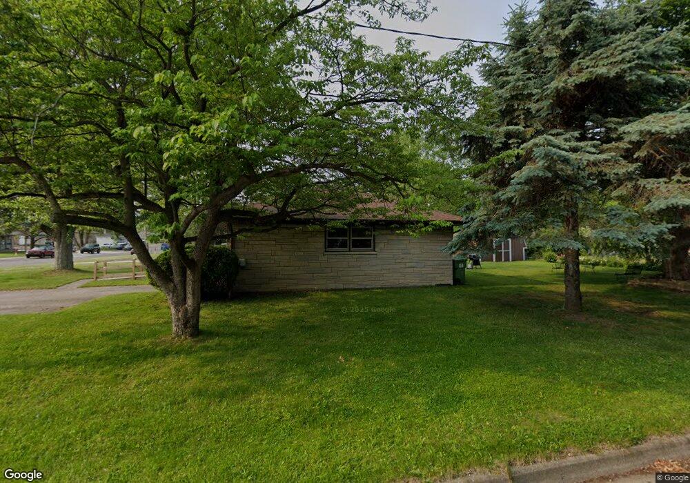
223 21st St N Springfield, MI 49037
Estimated Value: $149,000 - $188,406
2
Beds
1
Bath
1,140
Sq Ft
$146/Sq Ft
Est. Value
About This Home
This home is located at 223 21st St N, Springfield, MI 49037 and is currently estimated at $166,852, approximately $146 per square foot. 223 21st St N is a home located in Calhoun County with nearby schools including Valley View Elementary School, Springfield Middle School, and Battle Creek Central High School.
Ownership History
Date
Name
Owned For
Owner Type
Purchase Details
Closed on
Jun 25, 2025
Sold by
Ratliff Donald and Ratliff Brian
Bought by
Ratliff Reece M
Current Estimated Value
Home Financials for this Owner
Home Financials are based on the most recent Mortgage that was taken out on this home.
Original Mortgage
$126,000
Outstanding Balance
$125,787
Interest Rate
6.86%
Mortgage Type
New Conventional
Estimated Equity
$41,065
Purchase Details
Closed on
Jul 20, 1994
Sold by
Bishop Thomas H and Bishop Catherine
Bought by
Ratliff James W and Ratliff Alaine E
Create a Home Valuation Report for This Property
The Home Valuation Report is an in-depth analysis detailing your home's value as well as a comparison with similar homes in the area
Home Values in the Area
Average Home Value in this Area
Purchase History
| Date | Buyer | Sale Price | Title Company |
|---|---|---|---|
| Ratliff Reece M | $140,000 | None Listed On Document | |
| Ratliff Reece M | $140,000 | None Listed On Document | |
| Ratliff James W | $59,000 | -- |
Source: Public Records
Mortgage History
| Date | Status | Borrower | Loan Amount |
|---|---|---|---|
| Open | Ratliff Reece M | $126,000 | |
| Closed | Ratliff Reece M | $126,000 |
Source: Public Records
Tax History Compared to Growth
Tax History
| Year | Tax Paid | Tax Assessment Tax Assessment Total Assessment is a certain percentage of the fair market value that is determined by local assessors to be the total taxable value of land and additions on the property. | Land | Improvement |
|---|---|---|---|---|
| 2025 | $1,607 | $81,005 | $0 | $0 |
| 2024 | $1,175 | $64,675 | $0 | $0 |
| 2023 | $1,353 | $50,534 | $0 | $0 |
| 2022 | $1,066 | $45,840 | $0 | $0 |
| 2021 | $1,269 | $44,804 | $0 | $0 |
| 2020 | $1,251 | $43,918 | $0 | $0 |
| 2019 | $1,961 | $41,431 | $0 | $0 |
| 2018 | $0 | $37,013 | $9,430 | $27,583 |
| 2017 | $0 | $37,086 | $0 | $0 |
| 2016 | $0 | $28,952 | $0 | $0 |
| 2015 | -- | $25,389 | $0 | $0 |
| 2014 | -- | $27,700 | $0 | $0 |
Source: Public Records
Map
Nearby Homes
- 248 23rd St N
- 252 23rd St N
- 294 20th St N
- 760 Goguac St W
- 150 23rd St N
- 155 Kirkwood Ave
- 141 22nd St N
- 132 22nd St N
- 1127 Frisbie Blvd
- 1131 Frisbie Blvd
- 715 Ingram St
- V/L Betterly Rd
- 118 27th St N
- 38 22nd St N
- 36 21st St N
- 17 20th St N
- 690 Upton Ave
- 19 Ridge St
- 1225 Territorial Rd W
- 1243 Territorial Rd W