223 Brook Hollow Hanover, NH 03755
Estimated Value: $329,725 - $400,000
1
Bed
1
Bath
800
Sq Ft
$457/Sq Ft
Est. Value
About This Home
This home is located at 223 Brook Hollow, Hanover, NH 03755 and is currently estimated at $365,431, approximately $456 per square foot. 223 Brook Hollow is a home located in Grafton County with nearby schools including Bernice A. Ray School, Frances C. Richmond School, and Hanover High School.
Ownership History
Date
Name
Owned For
Owner Type
Purchase Details
Closed on
Aug 2, 2012
Sold by
Vanostern-Oloughlin K C
Bought by
Konwiser Stan and Konwiser Evan
Current Estimated Value
Purchase Details
Closed on
Jul 7, 2006
Sold by
Griggs Alfred William
Bought by
Vanostern Kevin Colin
Home Financials for this Owner
Home Financials are based on the most recent Mortgage that was taken out on this home.
Original Mortgage
$153,600
Interest Rate
6.6%
Mortgage Type
Purchase Money Mortgage
Create a Home Valuation Report for This Property
The Home Valuation Report is an in-depth analysis detailing your home's value as well as a comparison with similar homes in the area
Home Values in the Area
Average Home Value in this Area
Purchase History
| Date | Buyer | Sale Price | Title Company |
|---|---|---|---|
| Konwiser Stan | $169,500 | -- | |
| Konwiser Stan | $169,500 | -- | |
| Vanostern Kevin Colin | $192,000 | -- | |
| Vanostern Kevin Colin | $192,000 | -- |
Source: Public Records
Mortgage History
| Date | Status | Borrower | Loan Amount |
|---|---|---|---|
| Previous Owner | Vanostern Kevin Colin | $153,600 | |
| Closed | Vanostern Kevin Colin | $0 |
Source: Public Records
Tax History Compared to Growth
Tax History
| Year | Tax Paid | Tax Assessment Tax Assessment Total Assessment is a certain percentage of the fair market value that is determined by local assessors to be the total taxable value of land and additions on the property. | Land | Improvement |
|---|---|---|---|---|
| 2024 | $4,062 | $210,800 | $0 | $210,800 |
| 2023 | $3,908 | $210,800 | $0 | $210,800 |
| 2022 | $3,750 | $210,800 | $0 | $210,800 |
| 2021 | $3,719 | $210,800 | $0 | $210,800 |
| 2020 | $3,719 | $184,000 | $0 | $184,000 |
| 2019 | $3,667 | $184,000 | $0 | $184,000 |
| 2018 | $3,538 | $184,000 | $0 | $184,000 |
| 2017 | $3,455 | $159,300 | $78,400 | $80,900 |
| 2016 | $3,391 | $159,300 | $78,400 | $80,900 |
| 2015 | $3,326 | $159,300 | $78,400 | $80,900 |
| 2014 | $3,191 | $159,300 | $78,400 | $80,900 |
| 2013 | $3,076 | $159,300 | $78,400 | $80,900 |
| 2012 | $3,271 | $176,900 | $82,700 | $94,200 |
Source: Public Records
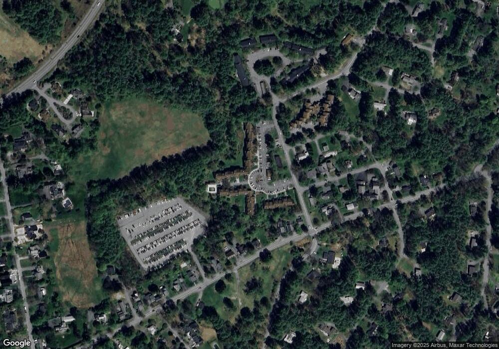
Map
Nearby Homes
- 213 Brook Hollow
- 211 Brook Hollow
- 214 Brook Hollow
- 202 Brook Hollow
- 202 Brook Hollow Unit 202 Brook Hollow
- 219 Brook Hollow
- 207 Brook Hollow
- 205 Brook Hollow
- 224 Brook Hollow
- 224 Brook Hollow Unit 22A
- 216 Brook Hollow
- 118 Brook Hollow
- 225 Brook Hollow
- 118 Brook Hollow
- 316 Brook Hollow
- 106 Brook Hollow
- 125 Brook Hollow
- 103 Brook Hollow
- 306 Brook Hollow
- 125 Brook Hollow