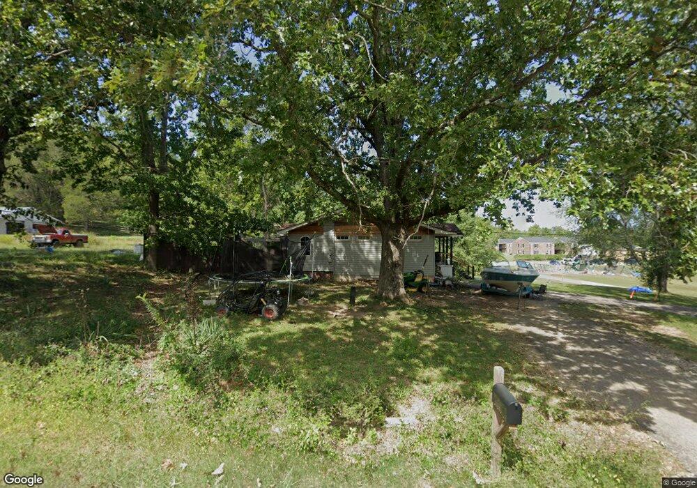
223 Cedar Ave Linden, TN 37096
Estimated Value: $89,000 - $196,000
--
Bed
--
Bath
1,098
Sq Ft
$110/Sq Ft
Est. Value
About This Home
This home is located at 223 Cedar Ave, Linden, TN 37096 and is currently estimated at $120,742, approximately $109 per square foot. 223 Cedar Ave is a home.
Ownership History
Date
Name
Owned For
Owner Type
Purchase Details
Closed on
Oct 24, 2019
Sold by
Graves Monica Lynn
Bought by
Mccaig Dustin Alan and Mccaig Raven
Current Estimated Value
Home Financials for this Owner
Home Financials are based on the most recent Mortgage that was taken out on this home.
Original Mortgage
$61,296
Outstanding Balance
$9,148
Interest Rate
3.7%
Mortgage Type
Future Advance Clause Open End Mortgage
Estimated Equity
$111,594
Purchase Details
Closed on
Apr 22, 1998
Bought by
Graves Steven B
Purchase Details
Closed on
Jul 1, 1996
Bought by
Davis Gene D and Davis Netta L
Purchase Details
Closed on
Jul 9, 1992
Bought by
Hensley Herman E and Hensley Elsie E
Purchase Details
Closed on
Jan 1, 1977
Purchase Details
Closed on
Mar 26, 1959
Bought by
Trull Edward and Mary Dean
Create a Home Valuation Report for This Property
The Home Valuation Report is an in-depth analysis detailing your home's value as well as a comparison with similar homes in the area
Home Values in the Area
Average Home Value in this Area
Purchase History
| Date | Buyer | Sale Price | Title Company |
|---|---|---|---|
| Mccaig Dustin Alan | $43,217 | None Available | |
| Graves Steven B | $52,000 | -- | |
| Davis Gene D | $40,000 | -- | |
| Hensley Herman E | $35,000 | -- | |
| -- | $5,000 | -- | |
| Trull Edward | -- | -- |
Source: Public Records
Mortgage History
| Date | Status | Borrower | Loan Amount |
|---|---|---|---|
| Open | Mccaig Dustin Alan | $61,296 |
Source: Public Records
Tax History Compared to Growth
Tax History
| Year | Tax Paid | Tax Assessment Tax Assessment Total Assessment is a certain percentage of the fair market value that is determined by local assessors to be the total taxable value of land and additions on the property. | Land | Improvement |
|---|---|---|---|---|
| 2025 | $349 | $12,450 | $0 | $0 |
| 2024 | $349 | $12,450 | $2,500 | $9,950 |
| 2023 | $349 | $12,450 | $2,500 | $9,950 |
| 2022 | $349 | $12,450 | $2,500 | $9,950 |
| 2021 | $349 | $12,450 | $2,500 | $9,950 |
| 2020 | $286 | $12,450 | $2,500 | $9,950 |
| 2019 | $395 | $13,225 | $2,500 | $10,725 |
| 2018 | $395 | $13,225 | $2,500 | $10,725 |
| 2017 | $391 | $13,225 | $2,500 | $10,725 |
| 2016 | $391 | $13,225 | $2,500 | $10,725 |
| 2015 | $384 | $13,225 | $2,500 | $10,725 |
| 2014 | $384 | $13,225 | $2,500 | $10,725 |
| 2013 | $409 | $14,096 | $0 | $0 |
Source: Public Records
Map
Nearby Homes
- 218 Cedar Ave
- 122 Shelton St
- 141 Maple St
- 245 S Mill St
- 130 Elm Ln
- 0 Church St
- 0 Treadwell Prong Unit RTC2707562
- 628 Starlight Dr
- 2017 Airport Ridge Rd
- 8884 U S Highway 412
- 107 Possum Trot Ln
- 2082 Airport Ridge Rd
- 117 Wyatt Ln
- Lot 5 Campers Ln
- Lot 7 Campers Ln
- Lot 9 Campers Ln
- Lot 4 Campers Ln
- Lot 15 Campers Ln
- 0 U S Highway 412
- Lot 8 Campers Ln
- 229 Cedar Ave
- 228 Cedar Ave
- 4850 Cedar Ave
- 1088 Big Opossum Rd
- 230 Cedar Ave
- 223 Southwood Dr
- 217 Southwood Dr
- 229 Southwood Dr
- 233 Southwood Dr
- 213 Hickory Hill Dr
- 208 Cedar Ave
- 231 Cedar Ave
- 237 Southwood Dr
- 226 Southwood Dr
- 222 Southwood Dr
- 230 Southwood Dr
- 214 Southwood Dr
- 403 Cedar Dr
- 208 Southwood Dr
- 236 Southwood Dr