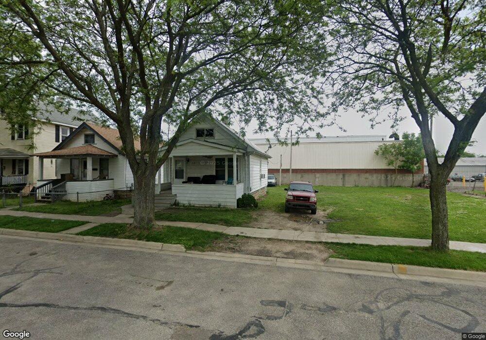
223 Conant Ave Monroe, MI 48161
Southeast Monroe NeighborhoodEstimated Value: $49,000 - $117,000
About This Home
This home is located at 223 Conant Ave, Monroe, MI 48161 and is currently estimated at $80,675, approximately $144 per square foot. 223 Conant Ave is a home located in Monroe County with nearby schools including Monroe High School, Trinity Lutheran School, and St Mary's Catholic Elementary School.
Ownership History
We collect this data history from publicly available records. To have your information removed, we recommend requesting removal directly through your county’s website.
Purchase Details
Purchase Details
Purchase Details
Home Values in the Area
Average Home Value in this Area
Purchase History
We collect this data history from publicly available records. To have your information removed, we recommend requesting removal directly through your county’s website.
| Date | Buyer | Sale Price | Title Company |
|---|---|---|---|
| $27,000 | None Available | ||
| -- | Nolen Gabriela N | ||
| $18,500 | -- |
Tax History
We collect this data history from publicly available records. To have your information removed, we recommend requesting removal directly through your county’s website.
| Year | Tax Paid | Tax Assessment Tax Assessment Total Assessment is a certain percentage of the fair market value that is determined by local assessors to be the total taxable value of land and additions on the property. | Land | Improvement |
|---|---|---|---|---|
| 2025 | $503 | $20,300 | $20,300 | $0 |
| 2024 | $481 | $17,880 | $0 | $0 |
| 2023 | $447 | $13,280 | $0 | $0 |
| 2022 | $824 | $13,280 | $0 | $0 |
| 2021 | $405 | $11,640 | $0 | $0 |
| 2020 | $383 | $8,790 | $0 | $0 |
| 2019 | $367 | $8,790 | $0 | $0 |
| 2018 | $793 | $7,890 | $0 | $0 |
| 2017 | $351 | $7,890 | $0 | $0 |
| 2016 | $344 | $7,950 | $0 | $0 |
| 2015 | $639 | $6,130 | $0 | $0 |
| 2014 | $639 | $6,130 | $0 | $0 |
| 2013 | -- | $7,710 | $0 | $0 |
Map
- 404 Almyra Ave
- 430 Conant Ave
- 1260 E 5th St
- 1623 Oak St
- 1123 E 1st St
- 1738 Oak St
- 943 E 4th St
- 1016 Humphrey St
- 0 N Dixie Hwy Unit 50199380
- 0 N Dixie Hwy Unit 900
- 1137 E 8th St
- 926 E Front St
- 926 Kentucky Ct
- 720 E 2nd St
- 710 E 4th St
- 713 Roeder St
- 68 Navarre St
- 428 E 3rd St
- 421 E 6th St
- 416 Humphrey St
- 1321 E 3rd St
- 222 Conant Ave
- 1320 E 3rd St
- 1324 E 3rd St
- 1312 E 3rd St
- 229 Almyra Ave
- 235 Almyra Ave
- 210 Conant Ave
- 208 Conant Ave
- 219 Almyra Ave
- 221 Conant Ave
- 217 Almyra Ave
- 1314 E 3rd St
- 219 Conant Ave
- 211 Almyra Ave
- 206 Conant Ave
- 217 Conant Ave
- 220 Conant Ave Unit V
- 213 Conant Ave
- 204 Conant Ave
Ask me questions while you tour the home.