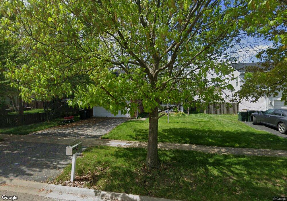
223 Concord Dr S Oswego, IL 60543
Northwest Oswego NeighborhoodEstimated Value: $411,467 - $433,000
4
Beds
3
Baths
2,478
Sq Ft
$171/Sq Ft
Est. Value
About This Home
This home is located at 223 Concord Dr S, Oswego, IL 60543 and is currently estimated at $423,117, approximately $170 per square foot. 223 Concord Dr S is a home located in Kendall County with nearby schools including Hunt Club Elementary School, Traughber Junior High School, and Oswego High School.
Ownership History
Date
Name
Owned For
Owner Type
Purchase Details
Closed on
Jul 1, 2004
Sold by
Pasquinelli Blackberry Knoll Llc
Bought by
Groom Marguerite M
Current Estimated Value
Home Financials for this Owner
Home Financials are based on the most recent Mortgage that was taken out on this home.
Original Mortgage
$217,788
Outstanding Balance
$94,547
Interest Rate
4.25%
Mortgage Type
Purchase Money Mortgage
Estimated Equity
$328,570
Create a Home Valuation Report for This Property
The Home Valuation Report is an in-depth analysis detailing your home's value as well as a comparison with similar homes in the area
Home Values in the Area
Average Home Value in this Area
Purchase History
| Date | Buyer | Sale Price | Title Company |
|---|---|---|---|
| Groom Marguerite M | $272,500 | Chicago Title Insurance Co |
Source: Public Records
Mortgage History
| Date | Status | Borrower | Loan Amount |
|---|---|---|---|
| Open | Groom Marguerite M | $217,788 |
Source: Public Records
Tax History Compared to Growth
Tax History
| Year | Tax Paid | Tax Assessment Tax Assessment Total Assessment is a certain percentage of the fair market value that is determined by local assessors to be the total taxable value of land and additions on the property. | Land | Improvement |
|---|---|---|---|---|
| 2024 | $8,999 | $118,687 | $13,302 | $105,385 |
| 2023 | $8,098 | $106,188 | $11,901 | $94,287 |
| 2022 | $8,098 | $96,403 | $10,804 | $85,599 |
| 2021 | $7,802 | $90,062 | $10,804 | $79,258 |
| 2020 | $7,406 | $85,576 | $10,804 | $74,772 |
| 2019 | $7,213 | $82,292 | $10,389 | $71,903 |
| 2018 | $7,237 | $77,816 | $10,389 | $67,427 |
| 2017 | $7,286 | $76,969 | $10,389 | $66,580 |
| 2016 | $6,625 | $69,309 | $10,389 | $58,920 |
| 2015 | $6,029 | $60,756 | $9,354 | $51,402 |
| 2014 | -- | $58,308 | $9,354 | $48,954 |
| 2013 | -- | $58,308 | $9,354 | $48,954 |
Source: Public Records
Map
Nearby Homes
- 424 Grape Vine Trail
- 2459 Mayfield Dr
- 4022 Shoeger Ct
- 2455 Montclair Ln
- 614 Pineridge Dr N Unit 43
- 618 Pineridge Dr N Unit 618
- 2717 Avalon Ln
- 3373 Seeley St
- 7619 Mill Rd
- 2846 Providence Ln
- 805 Cougar Ln
- 971 Sapphire Ln
- 2267 Margaret Dr
- 517 Meadowwood Ln Unit 3
- 2906 Meadowview Ln
- 2214 Andrew Trail Unit 1
- LOT 10 SW Station Dr
- 238 Willowwood Dr
- 3758 Bissel Dr
- 3199 Grande Trail
- 221 Concord Dr S
- 503 Reliance Ct
- 501 Reliance Ct
- 475 Grape Vine Trail
- 219 Concord Dr S
- 477 Grape Vine Trail
- 505 Reliance Ct
- 473 Grape Vine Trail
- 479 Grape Vine Trail
- 217 Concord Dr S
- 222 Concord Dr S
- 471 Grape Vine Trail
- 220 Concord Dr S
- 481 Grape Vine Trail
- 224 Concord Dr S
- 226 Concord Dr S
- 469 Grape Vine Trail
- 507 Reliance Ct
- 215 Concord Dr S
- 483 Grape Vine Trail