Estimated Value: $1,820,000 - $5,694,000
4
Beds
5
Baths
4,896
Sq Ft
$825/Sq Ft
Est. Value
About This Home
This home is located at 223 Damon Dr, Alton, NH 03809 and is currently estimated at $4,040,397, approximately $825 per square foot. 223 Damon Dr is a home located in Belknap County with nearby schools including Alton Central School (Elem) and Prospect Mountain High School.
Ownership History
Date
Name
Owned For
Owner Type
Purchase Details
Closed on
Nov 26, 2003
Sold by
Chase Stephen M and Chase Ruthann B
Bought by
Cook Douglas T and Cook Jane W
Current Estimated Value
Home Financials for this Owner
Home Financials are based on the most recent Mortgage that was taken out on this home.
Original Mortgage
$325,000
Outstanding Balance
$152,804
Interest Rate
6.09%
Mortgage Type
Purchase Money Mortgage
Estimated Equity
$3,887,593
Create a Home Valuation Report for This Property
The Home Valuation Report is an in-depth analysis detailing your home's value as well as a comparison with similar homes in the area
Home Values in the Area
Average Home Value in this Area
Purchase History
| Date | Buyer | Sale Price | Title Company |
|---|---|---|---|
| Cook Douglas T | $1,150,000 | -- |
Source: Public Records
Mortgage History
| Date | Status | Borrower | Loan Amount |
|---|---|---|---|
| Open | Cook Douglas T | $325,000 |
Source: Public Records
Tax History Compared to Growth
Tax History
| Year | Tax Paid | Tax Assessment Tax Assessment Total Assessment is a certain percentage of the fair market value that is determined by local assessors to be the total taxable value of land and additions on the property. | Land | Improvement |
|---|---|---|---|---|
| 2024 | $33,035 | $2,545,100 | $1,183,800 | $1,361,300 |
| 2022 | $28,938 | $2,545,100 | $1,183,800 | $1,361,300 |
| 2021 | $28,963 | $2,545,100 | $1,183,800 | $1,361,300 |
| 2020 | $31,524 | $2,259,800 | $1,075,300 | $1,184,500 |
| 2019 | $28,270 | $2,259,800 | $1,075,300 | $1,184,500 |
| 2018 | $30,658 | $2,191,400 | $1,006,900 | $1,184,500 |
| 2017 | $28,169 | $2,190,400 | $1,006,900 | $1,183,500 |
| 2016 | $28,021 | $1,980,300 | $899,300 | $1,081,000 |
| 2015 | $28,259 | $1,980,300 | $899,300 | $1,081,000 |
| 2014 | $26,350 | $1,902,500 | $900,500 | $1,002,000 |
| 2013 | $24,420 | $1,817,000 | $794,900 | $1,022,100 |
Source: Public Records
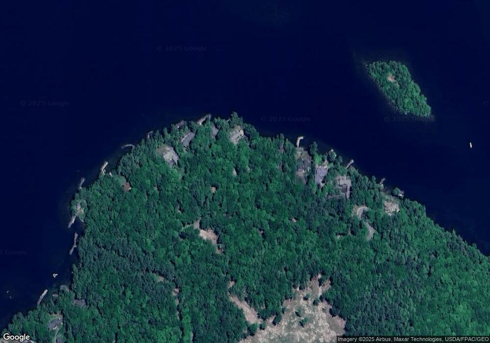
Map
Nearby Homes
- 104 Hopewell Rd
- 120 Big Barndoor Island
- Lot 13 Jaytee Dr
- 117 Hayes Rd
- 581 E Side Dr
- 00 Old Wolfeboro Rd Unit 40
- 204 Route 11-D
- 5 Delings Cove Rd
- 39 Winnipesaukee Dr
- 18-8 Winnipesaukee Dr
- 00 Winnipesaukee Dr Unit 10
- 163 Clark Rd
- 510 Old Wolfeboro Rd
- 195 Sewall Rd
- 25 Georges Rd
- 180 Sewall Rd
- 74 Jesus Valley Rd
- Lots 134-135 Wendy Dr
- Lot 5-2-1 Jesus Valley Rd
- 87 Timberlane P