223 Flynn Rd Walland, TN 37886
Estimated Value: $123,000 - $298,000
--
Bed
1
Bath
838
Sq Ft
$232/Sq Ft
Est. Value
About This Home
This home is located at 223 Flynn Rd, Walland, TN 37886 and is currently estimated at $194,489, approximately $232 per square foot. 223 Flynn Rd is a home located in Blount County with nearby schools including Walland Elementary School, Heritage Middle School, and Heritage High School.
Ownership History
Date
Name
Owned For
Owner Type
Purchase Details
Closed on
Jun 5, 1979
Bought by
Flynn Charles Odis
Current Estimated Value
Create a Home Valuation Report for This Property
The Home Valuation Report is an in-depth analysis detailing your home's value as well as a comparison with similar homes in the area
Home Values in the Area
Average Home Value in this Area
Purchase History
| Date | Buyer | Sale Price | Title Company |
|---|---|---|---|
| Flynn Charles Odis | -- | -- |
Source: Public Records
Tax History Compared to Growth
Tax History
| Year | Tax Paid | Tax Assessment Tax Assessment Total Assessment is a certain percentage of the fair market value that is determined by local assessors to be the total taxable value of land and additions on the property. | Land | Improvement |
|---|---|---|---|---|
| 2025 | $357 | $22,150 | $0 | $0 |
| 2024 | $357 | $22,450 | $22,150 | $300 |
| 2023 | $357 | $22,450 | $22,150 | $300 |
| 2022 | $478 | $19,350 | $19,050 | $300 |
| 2021 | $478 | $19,350 | $19,050 | $300 |
| 2020 | $478 | $19,350 | $19,050 | $300 |
| 2019 | $478 | $19,350 | $19,050 | $300 |
| 2018 | $559 | $22,625 | $15,675 | $6,950 |
| 2017 | $559 | $22,625 | $15,675 | $6,950 |
| 2016 | $559 | $22,625 | $15,675 | $6,950 |
| 2015 | $486 | $22,625 | $15,675 | $6,950 |
| 2014 | $468 | $22,625 | $15,675 | $6,950 |
| 2013 | $468 | $21,750 | $0 | $0 |
Source: Public Records
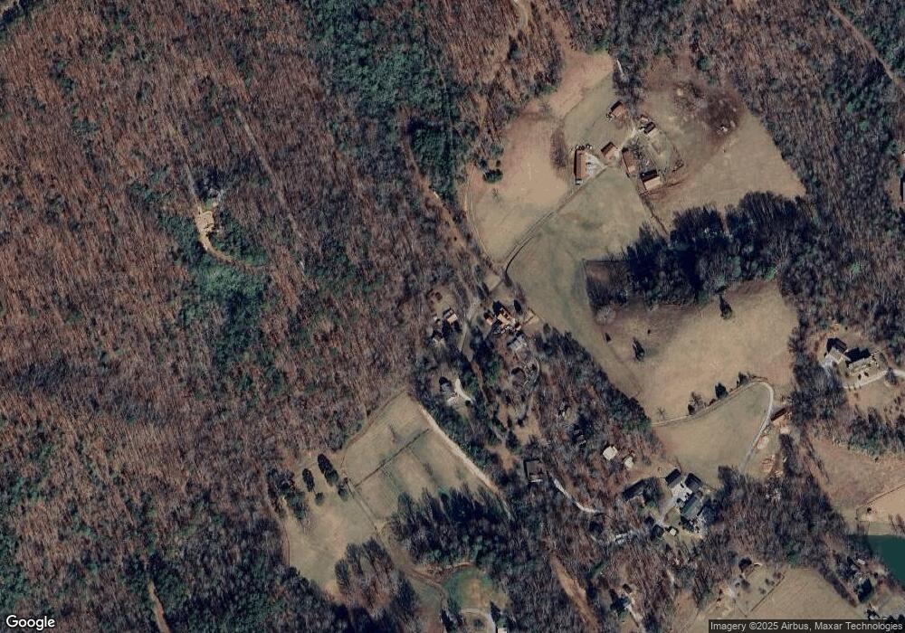
Map
Nearby Homes
- 621 W Millers Cove Rd
- 1875 Hughes Loop
- 1817 Hughes Loop
- 216 Old Cove Rd
- 103 Jolly Ln
- 5412 E Lamar Alexander Pkwy
- 0 E Lamar Alexander- 22 27 Acres Pkwy
- 5508 Old Walland Hwy
- 3140 Laws Chapel Rd
- 106 Sunshine Way
- 453 Mount John Loop
- 4750 E Lamar Alexander Pkwy
- 454 Mountain John Loop
- 4532 Cambridge Rd
- 716 Tanasi Trail
- 331 Chestnut Ridge Rd
- 4528 (Lot 2) E Lamar Alexander Pkwy
- 4536 (Lot 3) E Lamar Alexander Pkwy
- 4532 E Lamar Alexander Pkwy
- 670 Hawk View Dr