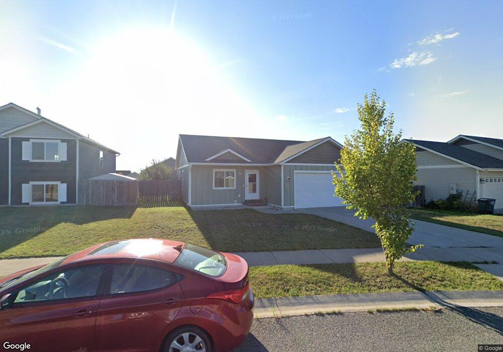
223 Jackson Peak Dr Kalispell, MT 59901
Estimated Value: $451,253 - $561,000
3
Beds
2
Baths
1,214
Sq Ft
$434/Sq Ft
Est. Value
About This Home
This home is located at 223 Jackson Peak Dr, Kalispell, MT 59901 and is currently estimated at $526,313, approximately $433 per square foot. 223 Jackson Peak Dr is a home located in Flathead County with nearby schools including West Valley Elementary School, West Valley Middle School, and Glacier High School.
Ownership History
Date
Name
Owned For
Owner Type
Purchase Details
Closed on
May 11, 2009
Sold by
B I D Inc
Bought by
Huselton Cynthia
Current Estimated Value
Home Financials for this Owner
Home Financials are based on the most recent Mortgage that was taken out on this home.
Original Mortgage
$188,769
Outstanding Balance
$144,669
Interest Rate
4.71%
Mortgage Type
Purchase Money Mortgage
Estimated Equity
$381,644
Purchase Details
Closed on
Feb 24, 2009
Sold by
Touchstone Llc
Bought by
B I D Inc
Home Financials for this Owner
Home Financials are based on the most recent Mortgage that was taken out on this home.
Original Mortgage
$104,328
Interest Rate
4.91%
Mortgage Type
Future Advance Clause Open End Mortgage
Create a Home Valuation Report for This Property
The Home Valuation Report is an in-depth analysis detailing your home's value as well as a comparison with similar homes in the area
Purchase History
| Date | Buyer | Sale Price | Title Company |
|---|---|---|---|
| Huselton Cynthia | -- | First American Title Company | |
| B I D Inc | -- | First American Title Company | |
| B I D Inc | -- | First American Title Company |
Source: Public Records
Mortgage History
| Date | Status | Borrower | Loan Amount |
|---|---|---|---|
| Open | Huselton Cynthia | $188,769 | |
| Previous Owner | B I D Inc | $104,328 |
Source: Public Records
Tax History
| Year | Tax Paid | Tax Assessment Tax Assessment Total Assessment is a certain percentage of the fair market value that is determined by local assessors to be the total taxable value of land and additions on the property. | Land | Improvement |
|---|---|---|---|---|
| 2025 | $2,076 | $441,500 | $0 | $0 |
| 2024 | $2,646 | $367,400 | $0 | $0 |
| 2023 | $2,907 | $367,400 | $0 | $0 |
| 2022 | $2,735 | $260,500 | $0 | $0 |
| 2021 | $2,686 | $260,500 | $0 | $0 |
| 2020 | $2,506 | $213,500 | $0 | $0 |
| 2019 | $2,477 | $213,500 | $0 | $0 |
| 2018 | $2,321 | $186,400 | $0 | $0 |
| 2017 | $2,013 | $186,400 | $0 | $0 |
| 2016 | $2,163 | $177,100 | $0 | $0 |
| 2015 | $2,184 | $177,100 | $0 | $0 |
| 2014 | $2,108 | $101,283 | $0 | $0 |
Source: Public Records
Map
Nearby Homes
- 215 Jackson Peak Dr
- 129 Cyclone Dr
- 117 Cyclone Dr
- 823 Lake Francis Dr
- 821 Lake Francis Dr
- 840 Mountain Vista Way
- 841 Mountain Vista Way
- 137 Looking Glass Ave
- 2845 Farm To Market Rd
- 2130 Farm To Market Rd
- 856 Ahern Ct
- 1344 Morning Eagle Dr
- 228 Cottage Dr
- 327 Mountain Vista Way
- 191 Cottage Dr
- 270 Westland Dr
- 1280 Quarter Horse Ln
- 404 Needlegrass Ln
- 408 Needlegrass Ln
- 417 Needlegrass Ln
- 219 Jackson Peak Dr
- 144 Cyclone Dr
- 140 Cyclone Dr
- 136 Cyclone Dr
- 211 Jackson Peak Dr
- 132 Cyclone Dr
- 483 Mountain Vista Way
- 479 Mountain Vista Way
- 491 Mountain Vista Way
- 207 Jackson Peak Dr
- 143 Cyclone Dr
- 475 Mountain Vista Way
- 473 Mountain Vista Way
- 139 Cyclone Dr
- 495 Mountain Vista Way
- 128 Cyclone Dr
- 218 Jackson Peak Dr
- 471 Mountain Vista Way
- 203 Jackson Peak Dr
- 469 Mountain Vista Way
Your Personal Tour Guide
Ask me questions while you tour the home.