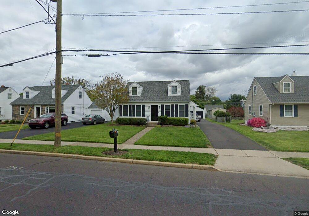
223 Neshaminy St Langhorne, PA 19047
Estimated Value: $337,000 - $501,000
2
Beds
1
Bath
1,199
Sq Ft
$361/Sq Ft
Est. Value
About This Home
This home is located at 223 Neshaminy St, Langhorne, PA 19047 and is currently estimated at $432,692, approximately $360 per square foot. 223 Neshaminy St is a home located in Bucks County with nearby schools including Hoover Elementary School, Maple Point Middle School, and Neshaminy High School.
Ownership History
Date
Name
Owned For
Owner Type
Purchase Details
Closed on
Aug 2, 2010
Sold by
The Bank Of New York Mellon Trust Compan
Bought by
Lees Michele
Current Estimated Value
Purchase Details
Closed on
Nov 24, 2009
Sold by
Woloshyn Elizabeth
Bought by
The Bank Of New York Mellon Trust Compan
Purchase Details
Closed on
Feb 7, 2005
Sold by
Bompadre Gloria Y
Bought by
Woloshyn Elizabeth
Home Financials for this Owner
Home Financials are based on the most recent Mortgage that was taken out on this home.
Original Mortgage
$223,000
Interest Rate
6.75%
Mortgage Type
Fannie Mae Freddie Mac
Create a Home Valuation Report for This Property
The Home Valuation Report is an in-depth analysis detailing your home's value as well as a comparison with similar homes in the area
Home Values in the Area
Average Home Value in this Area
Purchase History
| Date | Buyer | Sale Price | Title Company |
|---|---|---|---|
| Lees Michele | $130,000 | Land Title Svcs Of Nj Inc | |
| The Bank Of New York Mellon Trust Compan | $941 | None Available | |
| Woloshyn Elizabeth | $223,000 | -- |
Source: Public Records
Mortgage History
| Date | Status | Borrower | Loan Amount |
|---|---|---|---|
| Previous Owner | Woloshyn Elizabeth | $223,000 |
Source: Public Records
Tax History Compared to Growth
Tax History
| Year | Tax Paid | Tax Assessment Tax Assessment Total Assessment is a certain percentage of the fair market value that is determined by local assessors to be the total taxable value of land and additions on the property. | Land | Improvement |
|---|---|---|---|---|
| 2025 | $5,160 | $23,090 | $3,000 | $20,090 |
| 2024 | $5,160 | $23,090 | $3,000 | $20,090 |
| 2023 | $5,114 | $23,090 | $3,000 | $20,090 |
| 2022 | $4,984 | $23,090 | $3,000 | $20,090 |
| 2021 | $5,053 | $23,090 | $3,000 | $20,090 |
| 2020 | $5,065 | $23,090 | $3,000 | $20,090 |
| 2019 | $4,959 | $23,090 | $3,000 | $20,090 |
| 2018 | $4,862 | $23,090 | $3,000 | $20,090 |
| 2017 | $4,745 | $23,090 | $3,000 | $20,090 |
| 2016 | $4,666 | $23,090 | $3,000 | $20,090 |
| 2015 | -- | $23,090 | $3,000 | $20,090 |
| 2014 | -- | $23,090 | $3,000 | $20,090 |
Source: Public Records
Map
Nearby Homes
- 681 Pennhill Dr
- 790 E Parker St Unit A1
- 731 Highland Ave
- 547 Hulmeville Ave
- 56 W Lincoln Hwy
- 6504 Timothy Ct
- 24 W Lincoln Hwy
- 827 Hulmeville Rd
- 2937 Hamilton Ct
- 3225 Ethan Allen Ct
- 2823 Avenue E
- 6351 Shewell Rd
- 6313 Congress Ct
- 3351 Carroll Ct Unit S
- 927 Bellevue Ave
- 0 Prospect Ave
- 1632 Winter Ave
- 565 Hulmeville Rd
- 3325 Pasqualone Blvd
- 1420 Super Hwy
- 215 Neshaminy St
- 231 Neshaminy St
- 209 Neshaminy St
- 239 Neshaminy St
- 526 W Woodland Ave
- 529 Crescent St
- 519 Crescent St
- 518 W Woodland Ave
- 802 Highpointe Cir
- 550 Crescent St
- 307 Neshaminy St
- 804 Highpointe Cir
- 510 W Woodland Ave
- 511 Crescent St
- 806 Highpointe Cir
- 796 Highpointe Cir
- 183 Neshaminy St
- 532 Crescent St
- 525 W Woodland Ave
- 502 W Woodland Ave