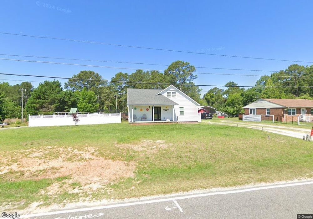
223 Northam Rd Rockingham, NC 28379
Estimated Value: $138,000 - $179,000
--
Bed
--
Bath
1,298
Sq Ft
$118/Sq Ft
Est. Value
About This Home
This home is located at 223 Northam Rd, Rockingham, NC 28379 and is currently estimated at $153,094, approximately $117 per square foot. 223 Northam Rd is a home with nearby schools including West Rockingham Elementary School, Rockingham Middle School, and Ashley Chapel Educational Center.
Ownership History
Date
Name
Owned For
Owner Type
Purchase Details
Closed on
Dec 3, 2024
Sold by
Cook Keri Lamont and Cook Thayer
Bought by
Heaton Charlie and Heaton Kristen
Current Estimated Value
Home Financials for this Owner
Home Financials are based on the most recent Mortgage that was taken out on this home.
Original Mortgage
$132,000
Outstanding Balance
$130,743
Interest Rate
5.78%
Mortgage Type
New Conventional
Estimated Equity
$22,351
Purchase Details
Closed on
Jun 10, 2016
Sold by
Roadway Equipment Llc
Bought by
Cook Thayer Laverne and Cook Keri Lamont
Home Financials for this Owner
Home Financials are based on the most recent Mortgage that was taken out on this home.
Original Mortgage
$269,250
Interest Rate
3.61%
Mortgage Type
Future Advance Clause Open End Mortgage
Purchase Details
Closed on
Jul 5, 2000
Bought by
Cook Keri Lamont
Create a Home Valuation Report for This Property
The Home Valuation Report is an in-depth analysis detailing your home's value as well as a comparison with similar homes in the area
Home Values in the Area
Average Home Value in this Area
Purchase History
| Date | Buyer | Sale Price | Title Company |
|---|---|---|---|
| Heaton Charlie | $130,000 | None Listed On Document | |
| Cook Thayer Laverne | $359,000 | None Available | |
| Cook Keri Lamont | -- | -- |
Source: Public Records
Mortgage History
| Date | Status | Borrower | Loan Amount |
|---|---|---|---|
| Open | Heaton Charlie | $132,000 | |
| Previous Owner | Cook Thayer Laverne | $269,250 |
Source: Public Records
Tax History Compared to Growth
Tax History
| Year | Tax Paid | Tax Assessment Tax Assessment Total Assessment is a certain percentage of the fair market value that is determined by local assessors to be the total taxable value of land and additions on the property. | Land | Improvement |
|---|---|---|---|---|
| 2025 | $1,334 | $140,722 | $8,592 | $132,130 |
| 2024 | $1,607 | $140,722 | $8,592 | $132,130 |
| 2023 | $1,166 | $77,718 | $6,874 | $70,844 |
| 2022 | $893 | $77,718 | $6,874 | $70,844 |
| 2021 | $889 | $77,718 | $6,874 | $70,844 |
| 2020 | $882 | $77,718 | $6,874 | $70,844 |
| 2019 | $882 | $77,718 | $6,874 | $70,844 |
| 2018 | $882 | $77,718 | $6,874 | $70,844 |
| 2016 | $847 | $77,718 | $6,874 | $70,844 |
| 2014 | -- | $67,324 | $7,057 | $60,267 |
Source: Public Records
Map
Nearby Homes
- 120 Parker St
- 316 Northam Rd
- 112 Marilyn Ave
- 110 Ponds Ln
- 35 Bunker St
- 187 Cartledge Creek Rd
- 828 Chatham Rd
- 247 Cartledge Creek Rd
- Lot 209 Nicholson Rd
- Lot 210 Nicholson Rd
- 0 Nicholson Rd
- 755 Cumberland Cir
- 723 Stanley Ave
- 000 Mcneil Rd Unit 13
- 626 Anson Ave
- 1431 Cumberland Cir
- 710 Scotland Ave
- 1703 Pine St
- 1206 Lancaster Ln
- 1401 Carolina Dr