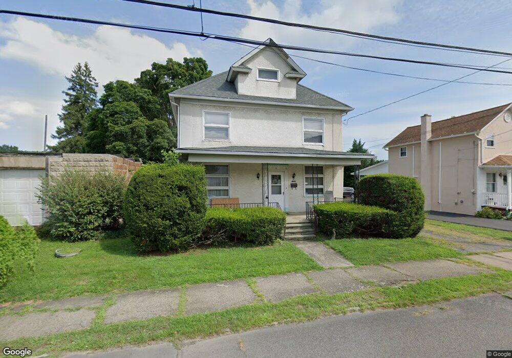
223 Orchard St Old Forge, PA 18518
Estimated Value: $96,562 - $228,000
--
Bed
--
Bath
--
Sq Ft
0.34
Acres
About This Home
This home is located at 223 Orchard St, Old Forge, PA 18518 and is currently estimated at $156,141. 223 Orchard St is a home located in Lackawanna County with nearby schools including Old Forge Elementary School, Old Forge Junior/Senior High School, and Triboro Christian Academy.
Ownership History
Date
Name
Owned For
Owner Type
Purchase Details
Closed on
Mar 25, 2025
Sold by
Perrone Thomas J and Perrone Rosemary
Bought by
Perrone Thomas J
Current Estimated Value
Home Financials for this Owner
Home Financials are based on the most recent Mortgage that was taken out on this home.
Original Mortgage
$86,400
Outstanding Balance
$84,608
Interest Rate
6.09%
Mortgage Type
New Conventional
Estimated Equity
$71,533
Create a Home Valuation Report for This Property
The Home Valuation Report is an in-depth analysis detailing your home's value as well as a comparison with similar homes in the area
Home Values in the Area
Average Home Value in this Area
Purchase History
| Date | Buyer | Sale Price | Title Company |
|---|---|---|---|
| Perrone Thomas J | $108,000 | None Listed On Document |
Source: Public Records
Mortgage History
| Date | Status | Borrower | Loan Amount |
|---|---|---|---|
| Open | Perrone Thomas J | $86,400 |
Source: Public Records
Tax History Compared to Growth
Tax History
| Year | Tax Paid | Tax Assessment Tax Assessment Total Assessment is a certain percentage of the fair market value that is determined by local assessors to be the total taxable value of land and additions on the property. | Land | Improvement |
|---|---|---|---|---|
| 2025 | $2,964 | $11,428 | $0 | $11,428 |
| 2024 | $2,643 | $11,428 | $0 | $11,428 |
| 2023 | $2,643 | $11,428 | $0 | $11,428 |
| 2022 | $2,554 | $11,428 | $0 | $11,428 |
| 2021 | $2,485 | $11,428 | $0 | $11,428 |
| 2020 | $2,456 | $11,428 | $0 | $11,428 |
| 2019 | $2,353 | $11,428 | $0 | $11,428 |
| 2018 | $2,330 | $11,428 | $0 | $11,428 |
| 2017 | $2,330 | $11,428 | $0 | $11,428 |
| 2016 | $1,343 | $11,428 | $0 | $0 |
| 2015 | -- | $11,428 | $0 | $0 |
| 2014 | -- | $11,428 | $0 | $0 |
Source: Public Records
Map
Nearby Homes
- 115 Taroli St Unit L20 22
- 113 Taroli St
- 347 Orchard St
- 817 S Main St
- 164 Taroli St
- 188 Drakes Ln
- 254 Hoover St
- 207 Milwaukee Ave
- 602 Milwaukee Ave
- 116 Broadhead St
- 421 W Mary St
- 603 Milwaukee Ave
- 412 Brook St
- 303 Drake St
- 503 Moosic Rd
- 1010 Wood St
- 624 Main St
- 199 Marion St
- 968 Wood St
- 734 736 Minooka Ave
- 217 Orchard St
- 225 Orchard St
- 215 Orchard St
- 227 Orchard St
- 227 Orchard St
- 213 Orchard St Unit L52
- 229 Orchard St
- 234 E Morton St
- 224 Orchard St
- 238 E Morton St
- 230 E Morton St
- 218 Orchard St
- 226 Orchard St
- 228 E Morton St
- 240 E Morton St
- 209 Orchard St
- 301 Orchard St Unit L44
- 216 Orchard St
- 226 E Morton St
- 242 E Morton St