Estimated Value: $1,670,000 - $1,980,000
5
Beds
4
Baths
3,548
Sq Ft
$507/Sq Ft
Est. Value
About This Home
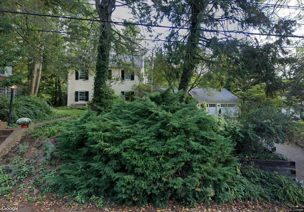
This home is located at 223 Radnor Street Rd, Wayne, PA 19087 and is currently estimated at $1,800,149, approximately $507 per square foot. 223 Radnor Street Rd is a home located in Delaware County with nearby schools including Wayne Elementary School, Radnor Middle School, and Radnor Senior High School.
Ownership History
Date
Name
Owned For
Owner Type
Purchase Details
Closed on
Dec 5, 2003
Sold by
Furey Harry and Furey Lisa
Bought by
Oblack Steven M and Oblack Leigh Bartholdson
Current Estimated Value
Home Financials for this Owner
Home Financials are based on the most recent Mortgage that was taken out on this home.
Original Mortgage
$475,000
Outstanding Balance
$212,239
Interest Rate
5.37%
Mortgage Type
Purchase Money Mortgage
Estimated Equity
$1,587,910
Purchase Details
Closed on
Jul 17, 2001
Sold by
Cummin G Jeremy and Cummin Hutchinson D
Bought by
Furey Harry and Furey Lisa
Create a Home Valuation Report for This Property
The Home Valuation Report is an in-depth analysis detailing your home's value as well as a comparison with similar homes in the area
Home Values in the Area
Average Home Value in this Area
Purchase History
| Date | Buyer | Sale Price | Title Company |
|---|---|---|---|
| Oblack Steven M | $745,000 | -- | |
| Furey Harry | $612,900 | Commonwealth Land Title Ins |
Source: Public Records
Mortgage History
| Date | Status | Borrower | Loan Amount |
|---|---|---|---|
| Open | Oblack Steven M | $475,000 |
Source: Public Records
Tax History Compared to Growth
Tax History
| Year | Tax Paid | Tax Assessment Tax Assessment Total Assessment is a certain percentage of the fair market value that is determined by local assessors to be the total taxable value of land and additions on the property. | Land | Improvement |
|---|---|---|---|---|
| 2025 | $17,901 | $885,380 | $274,480 | $610,900 |
| 2024 | $17,901 | $885,380 | $274,480 | $610,900 |
| 2023 | $17,191 | $885,380 | $274,480 | $610,900 |
| 2022 | $17,004 | $885,380 | $274,480 | $610,900 |
| 2021 | $27,313 | $885,380 | $274,480 | $610,900 |
| 2020 | $12,385 | $356,010 | $132,790 | $223,220 |
| 2019 | $12,035 | $356,010 | $132,790 | $223,220 |
| 2018 | $11,799 | $356,010 | $0 | $0 |
| 2017 | $10,684 | $329,270 | $0 | $0 |
| 2016 | $1,807 | $329,270 | $0 | $0 |
| 2015 | $1,844 | $329,270 | $0 | $0 |
| 2014 | $1,807 | $329,270 | $0 | $0 |
Source: Public Records
Map
Nearby Homes
- 256 Willow Ave
- Fenimore Plan at North Wayne
- Harrison Plan at North Wayne
- 305 E Beechtree Ln
- 317 E Beechtree Ln
- 313 E Beechtree Ln
- 1052 Eagle Rd
- 205 N Aberdeen Ave
- 16 Fariston Rd
- 50 Fariston Rd
- 207 Willow Ave
- 426 W Beechtree Ln
- 458 Huston Rd
- 500 E Lancaster Ave Unit 126A
- 500 E Lancaster Ave Unit 117A
- 484 King of Prussia Rd
- 232 Conestoga Rd
- 5 Greythorne Woods Cir Unit 5
- 328 Conestoga Rd
- 188 Conestoga Rd
- 221 Radnor Street Rd
- 225 Radnor Street Rd
- 227 Poplar Ave
- 232 Poplar Ave
- 324 Walnut Ave
- 227 Radnor Street Rd
- 332 Walnut Ave
- 225 Poplar Ave
- 230 Poplar Ave
- 250 Radnor Street Rd
- 223 Poplar Ave
- 228 Poplar Ave
- 257 Willow Ave
- 221 Poplar Ave
- 224 Poplar Ave
- 234 Walnut Ave
- 253 Willow Ave
- 113 Radnor Street Rd
- 251 Willow Ave
- 264 Willow Ave