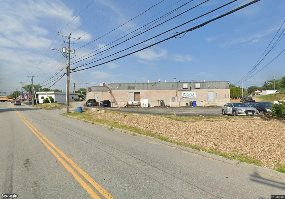
223 S Willow St Unit 1 Manchester, NH 03103
Southside NeighborhoodEstimated Value: $3,621,351
Studio
--
Bath
10,078
Sq Ft
$359/Sq Ft
Est. Value
About This Home
This home is located at 223 S Willow St Unit 1, Manchester, NH 03103 and is currently estimated at $3,621,351, approximately $359 per square foot. 223 S Willow St Unit 1 is a home located in Hillsborough County with nearby schools including Bakersville School, Southside Middle School, and Manchester Memorial High School.
Ownership History
Date
Name
Owned For
Owner Type
Purchase Details
Closed on
Apr 28, 2006
Sold by
Sw Shopping Ctr Llc
Bought by
223 South Willow St Ll
Current Estimated Value
Home Financials for this Owner
Home Financials are based on the most recent Mortgage that was taken out on this home.
Original Mortgage
$1,375,000
Outstanding Balance
$796,342
Interest Rate
6.4%
Mortgage Type
Commercial
Estimated Equity
$2,825,009
Create a Home Valuation Report for This Property
The Home Valuation Report is an in-depth analysis detailing your home's value as well as a comparison with similar homes in the area
Home Values in the Area
Average Home Value in this Area
Purchase History
| Date | Buyer | Sale Price | Title Company |
|---|---|---|---|
| 223 South Willow St Ll | $1,875,000 | -- |
Source: Public Records
Mortgage History
| Date | Status | Borrower | Loan Amount |
|---|---|---|---|
| Open | 223 South Willow St Ll | $1,375,000 |
Source: Public Records
Tax History
| Year | Tax Paid | Tax Assessment Tax Assessment Total Assessment is a certain percentage of the fair market value that is determined by local assessors to be the total taxable value of land and additions on the property. | Land | Improvement |
|---|---|---|---|---|
| 2024 | $24,890 | $1,271,200 | $423,000 | $848,200 |
| 2023 | $23,975 | $1,271,200 | $423,000 | $848,200 |
| 2022 | $23,187 | $1,271,200 | $423,000 | $848,200 |
| 2021 | $22,475 | $1,271,200 | $423,000 | $848,200 |
| 2020 | $28,951 | $1,174,000 | $367,700 | $806,300 |
| 2019 | $28,552 | $1,174,000 | $367,700 | $806,300 |
| 2018 | $27,800 | $1,174,000 | $367,700 | $806,300 |
| 2017 | $27,378 | $1,174,000 | $367,700 | $806,300 |
| 2016 | $27,166 | $1,174,000 | $367,700 | $806,300 |
| 2015 | $29,157 | $1,243,900 | $367,700 | $876,200 |
| 2014 | $29,232 | $1,243,900 | $367,700 | $876,200 |
| 2013 | $28,199 | $1,243,900 | $367,700 | $876,200 |
Source: Public Records
Map
Nearby Homes
- 36 S Maple St
- 152 Oakdale Ave
- 38 Garden St
- 11 Lincoln St
- 206 Calef Rd
- 466 S Beech St
- 23 Krakow Ave
- 471 Silver St Unit 403
- 312 Mystic St
- 13 Batchelder Ave Unit 1
- 470 Silver St Unit 113
- 470 Silver St Unit 413
- 204 S Taylor St
- 38 Belair St
- 602 Brown Ave
- 670 Harvard St
- 618 Prescott St
- 185 Cameron St
- 555 Calef Rd Unit 4
- 555 Calef Rd Unit 1
- 223 S Willow St
- 229 S Willow Unit 77
- 3 Holly Ave
- 179 S Willow St
- 180 S Beech St
- 93 S Maple St
- 192 S Beech St
- 46 Alpheus St
- 11 Claremont Ave
- 1 Claremont Ave
- 25 Claremont Ave
- 31 Claremont Ave
- 34 Alpheus St
- 45 Claremont Ave
- 53 Claremont Ave
- 220 S Beech St
- 69 Claremont Ave
- 195 S Beech St
- 41 Alpheus St
- 54 Plainfield St
Your Personal Tour Guide
Ask me questions while you tour the home.