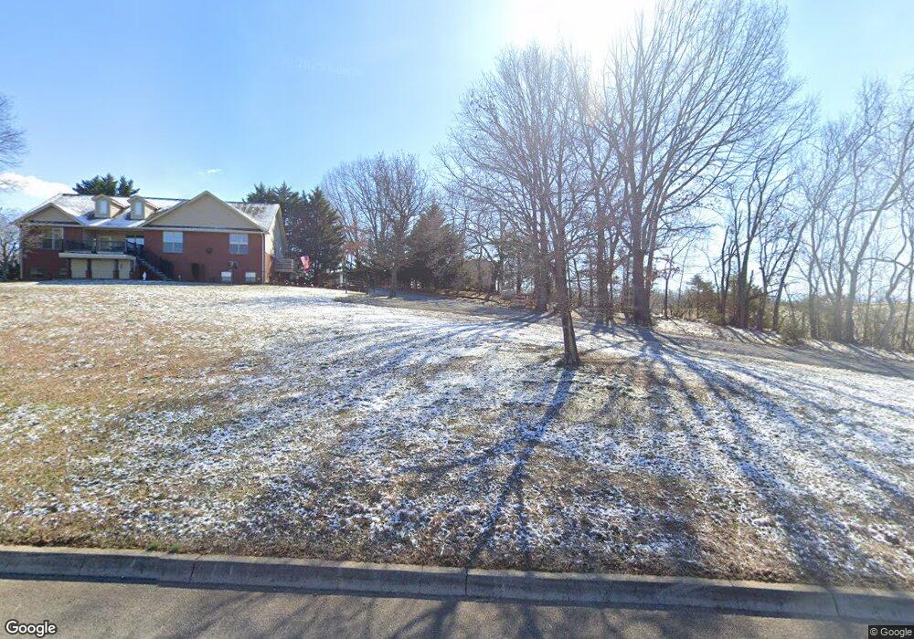
223 Sullivan Point Dandridge, TN 37725
Estimated Value: $554,000 - $675,000
--
Bed
4
Baths
2,055
Sq Ft
$309/Sq Ft
Est. Value
About This Home
This home is located at 223 Sullivan Point, Dandridge, TN 37725 and is currently estimated at $634,145, approximately $308 per square foot. 223 Sullivan Point is a home located in Jefferson County.
Ownership History
Date
Name
Owned For
Owner Type
Purchase Details
Closed on
Nov 25, 2009
Sold by
Bowen Malcolm K
Bought by
Wilds Dwayne M
Current Estimated Value
Home Financials for this Owner
Home Financials are based on the most recent Mortgage that was taken out on this home.
Original Mortgage
$250,381
Outstanding Balance
$164,232
Interest Rate
5.01%
Estimated Equity
$469,913
Purchase Details
Closed on
Jul 12, 2004
Sold by
Mullis Olen J
Bought by
Bowen Malcolm K
Purchase Details
Closed on
Jul 22, 1997
Bought by
Mullis Olen J and Mullis Jean H
Create a Home Valuation Report for This Property
The Home Valuation Report is an in-depth analysis detailing your home's value as well as a comparison with similar homes in the area
Home Values in the Area
Average Home Value in this Area
Purchase History
| Date | Buyer | Sale Price | Title Company |
|---|---|---|---|
| Wilds Dwayne M | $255,000 | -- | |
| Bowen Malcolm K | $22,000 | -- | |
| Mullis Olen J | $19,500 | -- |
Source: Public Records
Mortgage History
| Date | Status | Borrower | Loan Amount |
|---|---|---|---|
| Open | Mullis Olen J | $250,381 |
Source: Public Records
Tax History Compared to Growth
Tax History
| Year | Tax Paid | Tax Assessment Tax Assessment Total Assessment is a certain percentage of the fair market value that is determined by local assessors to be the total taxable value of land and additions on the property. | Land | Improvement |
|---|---|---|---|---|
| 2025 | $1,631 | $125,250 | $14,075 | $111,175 |
| 2023 | $1,631 | $70,900 | $0 | $0 |
| 2022 | $1,553 | $70,900 | $7,025 | $63,875 |
| 2021 | $1,553 | $70,900 | $7,025 | $63,875 |
| 2020 | $1,553 | $70,900 | $7,025 | $63,875 |
| 2019 | $1,553 | $70,900 | $7,025 | $63,875 |
| 2018 | $1,517 | $64,550 | $7,500 | $57,050 |
| 2017 | $1,517 | $64,550 | $7,500 | $57,050 |
| 2016 | $1,517 | $64,550 | $7,500 | $57,050 |
| 2015 | $1,517 | $64,550 | $7,500 | $57,050 |
| 2014 | $1,517 | $64,550 | $7,500 | $57,050 |
Source: Public Records
Map
Nearby Homes
- 223 Sullivan Point
- Lot 22 Sullivan Point
- Lot 23 Sullivan Point
- Lot 22 Sullivan Pointe
- Lot 32 Sullivan Pointe
- Lot 28 Sullivan Pointe
- 219 Sullivan Pointe
- LOT 27 Sullivan Pointe
- 0 Sullivan Pointe
- 0 Indian Shores Unit 406977
- 0 Indian Shores Unit 406978
- 0 Indian Shores Unit 214971
- 0 Indian Shores Unit 186657
- 0 Indian Shores Unit 178641
- 0 Indian Shores Unit 406976
- 0 Indian Shores Unit 658329
- 226 Sullivan Point
- 1871 Circle Lake Dr
- 222 Sullivan Point
- 218 Sullivan Point