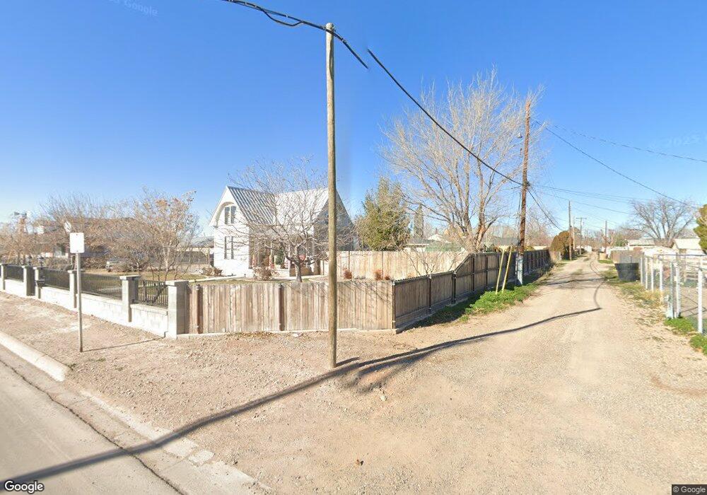
223 W McGaffey St Roswell, NM 88203
Estimated Value: $99,000 - $205,000
2
Beds
1
Bath
1,736
Sq Ft
$92/Sq Ft
Est. Value
About This Home
This home is located at 223 W McGaffey St, Roswell, NM 88203 and is currently estimated at $160,444, approximately $92 per square foot. 223 W McGaffey St is a home located in Chaves County with nearby schools including Missouri Avenue Elementary School, Mesa Middle School, and Roswell High School.
Ownership History
Date
Name
Owned For
Owner Type
Purchase Details
Closed on
Oct 1, 2021
Sold by
Pantuso John Gerard
Bought by
Pantuso Nancy Lynn
Current Estimated Value
Purchase Details
Closed on
Jun 7, 2013
Sold by
Padilla Douglas S and Padilla Andrea A
Bought by
Pantuso John G and Pantuso Nancy L
Purchase Details
Closed on
Nov 6, 2008
Sold by
Reid Bill and Reid Bill M
Bought by
Padilla Douglas S and Padilla Andrea A
Create a Home Valuation Report for This Property
The Home Valuation Report is an in-depth analysis detailing your home's value as well as a comparison with similar homes in the area
Home Values in the Area
Average Home Value in this Area
Purchase History
| Date | Buyer | Sale Price | Title Company |
|---|---|---|---|
| Pantuso Nancy Lynn | -- | None Available | |
| Pantuso John G | -- | Landmark Title | |
| Padilla Douglas S | -- | Landamerica Lawyers Title Of |
Source: Public Records
Tax History Compared to Growth
Tax History
| Year | Tax Paid | Tax Assessment Tax Assessment Total Assessment is a certain percentage of the fair market value that is determined by local assessors to be the total taxable value of land and additions on the property. | Land | Improvement |
|---|---|---|---|---|
| 2025 | $957 | $38,013 | $1,667 | $36,346 |
| 2024 | $957 | $36,906 | $1,667 | $35,239 |
| 2023 | $958 | $35,831 | $1,667 | $34,164 |
| 2022 | $920 | $34,788 | $1,667 | $33,121 |
| 2021 | $911 | $33,775 | $1,667 | $32,108 |
| 2020 | $829 | $30,869 | $1,667 | $29,202 |
| 2019 | $802 | $29,970 | $1,667 | $28,303 |
| 2018 | $776 | $29,097 | $1,667 | $27,430 |
| 2017 | $745 | $28,250 | $1,667 | $26,583 |
| 2016 | $754 | $28,834 | $1,667 | $27,167 |
| 2015 | $829 | $28,831 | $1,667 | $27,164 |
| 2014 | $1,653 | $28,769 | $1,667 | $27,102 |
Source: Public Records
Map
Nearby Homes
- 305 W Wildy St
- 1010 S Pennsylvania Ave
- 1007 S Pennsylvania Ave
- 1107 S Missouri Ave
- 1403 S Lea Ave
- 1400 S Lea Ave
- 112 W Wildy St
- 900 S Missouri Ave
- 1405 S Lea Ave
- 303 W Mathews St
- 613 W Van Buren St
- 1502 S Kentucky Ave
- 111 W Mathews St
- 1516 S Kentucky Ave
- 703 S Kentucky Ave
- 608 W Deming St
- 611 S Missouri Ave
- 710 S Washington Ave
- 604 S Lea Ave
- 509 S Kentucky Ave
- 216 W McGaffey St
- 1118 S Pennsylvania Ave
- 1115 S Kentucky Ave
- 1116 S Pennsylvania Ave
- 218 W McGaffey St
- 1114 S Pennsylvania Ave
- 1113 S Kentucky Ave
- 1112 S Pennsylvania Ave
- 300 W McGaffey St
- 301 W McGaffey St
- 1111 S Kentucky Ave
- 1117 S Pennsylvania Ave
- 1110 S Pennsylvania Ave
- 208 W McGaffey St
- 1114 S Kentucky Ave
- 205 W McGaffey St
- 305 W Forest St
- 1109 S Kentucky Ave
- 1115 S Pennsylvania Ave
- 303 W Forest St