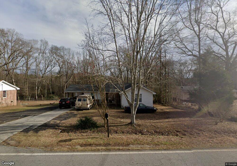
2230 E Mcintosh Rd Griffin, GA 30223
Spalding County NeighborhoodEstimated Value: $185,457 - $254,000
3
Beds
2
Baths
1,272
Sq Ft
$170/Sq Ft
Est. Value
About This Home
This home is located at 2230 E Mcintosh Rd, Griffin, GA 30223 and is currently estimated at $216,114, approximately $169 per square foot. 2230 E Mcintosh Rd is a home located in Spalding County with nearby schools including Jackson Road Elementary School, Kennedy Road Middle School, and Spalding High School.
Ownership History
Date
Name
Owned For
Owner Type
Purchase Details
Closed on
Feb 9, 1987
Sold by
Farmers Home Adm
Bought by
Thurmond Anita D
Current Estimated Value
Purchase Details
Closed on
Feb 20, 1986
Sold by
Ellis Thomas J and Ellis Betty S
Bought by
Farmers Home Adm
Purchase Details
Closed on
Jan 14, 1983
Sold by
Bramlett Joe
Bought by
Ellis Thomas J and Ellis Betty S
Purchase Details
Closed on
Jun 11, 1982
Sold by
Vickery Janie R
Bought by
Bramlett Joe
Create a Home Valuation Report for This Property
The Home Valuation Report is an in-depth analysis detailing your home's value as well as a comparison with similar homes in the area
Home Values in the Area
Average Home Value in this Area
Purchase History
| Date | Buyer | Sale Price | Title Company |
|---|---|---|---|
| Thurmond Anita D | $35,800 | -- | |
| Farmers Home Adm | $34,400 | -- | |
| Ellis Thomas J | $34,800 | -- | |
| Bramlett Joe | $7,000 | -- |
Source: Public Records
Tax History
| Year | Tax Paid | Tax Assessment Tax Assessment Total Assessment is a certain percentage of the fair market value that is determined by local assessors to be the total taxable value of land and additions on the property. | Land | Improvement |
|---|---|---|---|---|
| 2025 | $1,242 | $47,389 | $6,734 | $40,655 |
| 2024 | $1,233 | $47,389 | $6,734 | $40,655 |
| 2023 | $1,366 | $47,389 | $6,734 | $40,655 |
| 2022 | $1,379 | $39,721 | $4,732 | $34,989 |
| 2021 | $1,091 | $31,825 | $4,732 | $27,093 |
| 2020 | $986 | $28,828 | $4,732 | $24,096 |
| 2019 | $988 | $28,355 | $4,259 | $24,096 |
| 2018 | $927 | $26,084 | $4,259 | $21,825 |
| 2017 | $903 | $26,084 | $4,259 | $21,825 |
| 2016 | $919 | $26,084 | $4,259 | $21,825 |
| 2015 | $962 | $26,477 | $4,652 | $21,825 |
| 2014 | $981 | $26,477 | $4,652 | $21,825 |
Source: Public Records
Map
Nearby Homes
- 235 Cecil Jackson Rd
- 1804 E McIntosh Lot 10 Rd Unit LOT 10
- 1802 E Mcintosh Rd Unit LOT 09
- 243 Hamil Rd
- 243 Hamil Rd Unit 13.18 AC
- 265 Hamil Rd Unit 19.39 AC
- 2775 Jackson Rd
- 583 Hamil Rd
- 221 Little Gem Ct
- 2650 Jackson Rd
- 195 Hamil Rd
- 0 Hamil Rd Unit 6.21 AC 10578337
- 1465 N Mcdonough Rd
- 340 Sandy Springs Dr
- 331 Sandy Springs Dr
- 150 Camden Rd
- 329 Sandy Springs Dr
- 102 Brookview Dr
- 1445 E Mcintosh Rd
- 140 Morris Mill Rd
- 2242 E Mcintosh Rd
- 2224 E Mcintosh Rd
- 2214 E Mcintosh Rd
- 2225 E Mcintosh Rd
- 2227 E Mcintosh Rd
- 20 Smoak Rd
- 2194 E Mcintosh Rd
- 2229 E Mcintosh Rd
- 30 Smoak Rd
- 2184 E Mcintosh Rd
- 2261 E Mcintosh Rd
- 2300 E Mcintosh Rd
- 2300/2328 E Mcintosh Rd
- 2174 E Mcintosh Rd
- 70 Weldon Rd
- 2164 E Mcintosh Rd
- 2283 E Mcintosh Rd
- 55 Smoak Rd
- 25 Smoak Rd
- 2158 E Mcintosh Rd
Your Personal Tour Guide
Ask me questions while you tour the home.