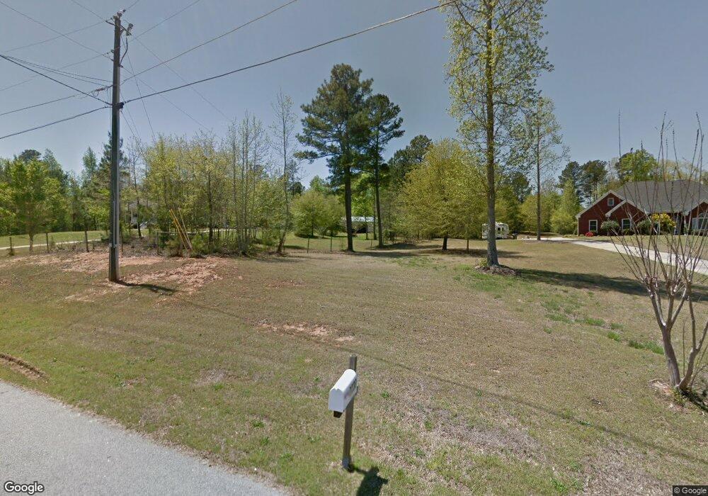
2230 Hawthorne Trace Unit 12 Monroe, GA 30655
Estimated Value: $533,386 - $651,000
--
Bed
3
Baths
2,451
Sq Ft
$244/Sq Ft
Est. Value
About This Home
This home is located at 2230 Hawthorne Trace Unit 12, Monroe, GA 30655 and is currently estimated at $596,847, approximately $243 per square foot. 2230 Hawthorne Trace Unit 12 is a home located in Walton County with nearby schools including Youth Elementary School, Youth Middle School, and Walnut Grove High School.
Ownership History
Date
Name
Owned For
Owner Type
Purchase Details
Closed on
Jul 8, 2019
Sold by
Roysden Rachel
Bought by
Roysden James R and Roysden Rachel N
Current Estimated Value
Home Financials for this Owner
Home Financials are based on the most recent Mortgage that was taken out on this home.
Original Mortgage
$297,500
Outstanding Balance
$260,637
Interest Rate
3.82%
Mortgage Type
New Conventional
Estimated Equity
$336,210
Purchase Details
Closed on
May 14, 2014
Sold by
Jarrard John Thomas
Bought by
Mccann Steven Michael and Mccann Carrie Lynn
Home Financials for this Owner
Home Financials are based on the most recent Mortgage that was taken out on this home.
Original Mortgage
$247,500
Interest Rate
4.32%
Mortgage Type
New Conventional
Create a Home Valuation Report for This Property
The Home Valuation Report is an in-depth analysis detailing your home's value as well as a comparison with similar homes in the area
Home Values in the Area
Average Home Value in this Area
Purchase History
| Date | Buyer | Sale Price | Title Company |
|---|---|---|---|
| Roysden James R | -- | -- | |
| Roysden Rachel | $350,000 | -- | |
| Mccann Steven Michael | $275,000 | -- |
Source: Public Records
Mortgage History
| Date | Status | Borrower | Loan Amount |
|---|---|---|---|
| Open | Roysden Rachel | $297,500 | |
| Closed | Roysden James R | $297,500 | |
| Previous Owner | Mccann Steven Michael | $247,500 |
Source: Public Records
Tax History Compared to Growth
Tax History
| Year | Tax Paid | Tax Assessment Tax Assessment Total Assessment is a certain percentage of the fair market value that is determined by local assessors to be the total taxable value of land and additions on the property. | Land | Improvement |
|---|---|---|---|---|
| 2024 | $5,067 | $200,720 | $28,000 | $172,720 |
| 2023 | $5,136 | $194,160 | $24,800 | $169,360 |
| 2022 | $4,977 | $172,200 | $20,000 | $152,200 |
| 2021 | $4,584 | $145,480 | $20,000 | $125,480 |
| 2020 | $4,658 | $139,400 | $18,000 | $121,400 |
| 2019 | $3,847 | $130,800 | $18,000 | $112,800 |
| 2018 | $3,774 | $130,800 | $18,000 | $112,800 |
| 2017 | $4,168 | $120,960 | $18,000 | $102,960 |
| 2016 | $3,265 | $103,920 | $18,000 | $85,920 |
| 2015 | $3,152 | $96,440 | $18,000 | $78,440 |
| 2014 | $1,042 | $88,840 | $0 | $0 |
Source: Public Records
Map
Nearby Homes
- 2235 Hawthorne Trace
- 1530 Giles Rd
- 710 Youth Jersey Rd
- 1416 Willowbend Place
- 1412 Willowbend Place
- 1409 Willowbend Place
- 1401 Willowbend Place
- 1405 Willowbend Place
- 1446 River Falls View
- 1521 Nunnally Farm Rd
- 1205 Highgrove Ct
- 1536 Riverview Rd
- 3385 Timberland Rd
- 3395 Timberland Rd
- 841 Spring Creek Way
- 1211 Highgrove Ct
- (GA) The Bentley | Side Entry Plan at Spring Creek
- (GA)The Riley | Front Entry Plan at Spring Creek
- (GA)The Woodmont | Side Entry Plan at Spring Creek
- (GA)The Avondale | Front Entry Plan at Spring Creek
- 2230 Hawthorne Trace
- 2220 Hawthorne Trace
- 2240 Hawthorne Trace
- 2225 Hawthorne Trace
- 1465 Giles Rd
- 2215 Hawthorne Trace
- 1490 Giles Rd
- 2210 Hawthorne Trace
- 2250 Hawthorne Trace
- 2265 Hawthorne Trace
- 2500 Greenfield Ln
- 1460 Giles Rd
- 2246 Hawthorne Trace
- 2-A Giles Rd
- 1-C Giles Rd
- 1-A Giles Rd
- 2501 Greenfield Ln
- 2285 Hawthorne Trace
- 2260 Hawthorne Trace
- 0 Giles Rd Unit 8182719
