22301 312th St Hinton, IA 51024
Estimated Value: $477,000 - $770,338
7
Beds
3
Baths
2,444
Sq Ft
$261/Sq Ft
Est. Value
About This Home
This home is located at 22301 312th St, Hinton, IA 51024 and is currently estimated at $636,835, approximately $260 per square foot. 22301 312th St is a home located in Plymouth County with nearby schools including Hinton Elementary School, Hinton Intermediate School, and Hinton High School.
Ownership History
Date
Name
Owned For
Owner Type
Purchase Details
Closed on
Apr 28, 2025
Sold by
Ahrendsen Dan Steven and Ahrendsen Jamie Ellen
Bought by
Dan & Jamie Ahrendsen 2025 Revocable Trust and Ahrendsen
Current Estimated Value
Home Financials for this Owner
Home Financials are based on the most recent Mortgage that was taken out on this home.
Original Mortgage
$375,000
Interest Rate
6.96%
Mortgage Type
Credit Line Revolving
Purchase Details
Closed on
Mar 3, 2025
Sold by
Apollo Llp
Bought by
Kellen Derek W and Kellen Chelsea J
Home Financials for this Owner
Home Financials are based on the most recent Mortgage that was taken out on this home.
Original Mortgage
$375,000
Interest Rate
6.96%
Mortgage Type
Credit Line Revolving
Create a Home Valuation Report for This Property
The Home Valuation Report is an in-depth analysis detailing your home's value as well as a comparison with similar homes in the area
Home Values in the Area
Average Home Value in this Area
Purchase History
| Date | Buyer | Sale Price | Title Company |
|---|---|---|---|
| Dan & Jamie Ahrendsen 2025 Revocable Trust | -- | None Listed On Document | |
| Dan & Jamie Ahrendsen 2025 Revocable Trust | -- | None Listed On Document | |
| Kellen Derek W | $373,000 | None Listed On Document | |
| Kellen Derek W | $373,000 | None Listed On Document |
Source: Public Records
Mortgage History
| Date | Status | Borrower | Loan Amount |
|---|---|---|---|
| Previous Owner | Kellen Derek W | $375,000 |
Source: Public Records
Tax History Compared to Growth
Tax History
| Year | Tax Paid | Tax Assessment Tax Assessment Total Assessment is a certain percentage of the fair market value that is determined by local assessors to be the total taxable value of land and additions on the property. | Land | Improvement |
|---|---|---|---|---|
| 2025 | $6,994 | $737,650 | $194,740 | $542,910 |
| 2024 | $6,702 | $695,690 | $194,740 | $500,950 |
| 2023 | $6,616 | $647,190 | $68,760 | $578,430 |
| 2022 | $6,512 | $529,750 | $68,760 | $460,990 |
| 2021 | $6,280 | $529,750 | $68,760 | $460,990 |
| 2020 | $6,280 | $487,960 | $68,760 | $419,200 |
| 2019 | -- | $487,960 | $68,760 | $419,200 |
| 2018 | -- | $446,260 | $58,260 | $388,000 |
| 2017 | -- | $446,740 | $0 | $0 |
| 2016 | -- | $446,740 | $0 | $0 |
| 2015 | -- | $406,990 | $0 | $0 |
| 2014 | -- | $0 | $0 | $0 |
Source: Public Records
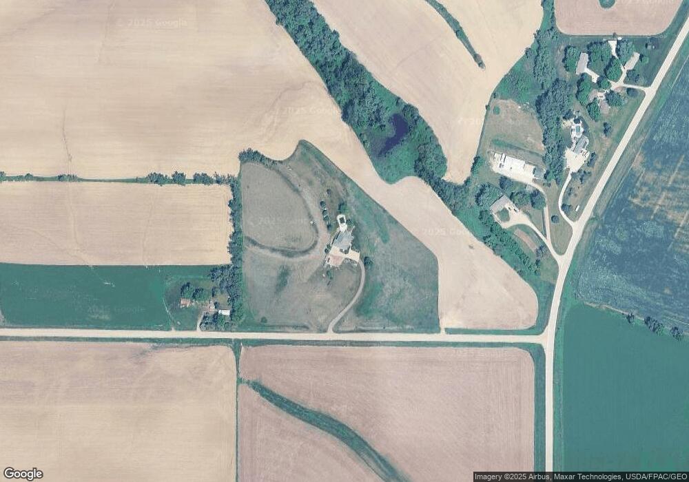
Map
Nearby Homes
- 21122 320th St
- 33543 Fox Ave Unit 3
- 23689 C60
- 24103 County Road C80
- 31844 W Loop Rd
- 31847 W Loop Rd
- 757 Buckwalter Dr
- 22693 280th St
- TBD W Loop Rd
- 33154 Hickory Ave
- 4919 Cleveland St
- 4640 Perry Way
- 4200 Outer Dr
- 5700 Outer Dr
- Lot 10 Tucker Hill Dr
- Lot 11 Tucker Hill Dr
- 408 Hampden Ct
- 28321 S Ridge Rd
- 25654 Main St
- 1304 46th St
- 22221 312th St
- 31195 K22
- 31041 K22
- 31165 K22
- 31197 K22
- 31193 K22
- 31043 K22
- 31224 Granite Ave
- 22038 312th St
- 31414 Granite Ave
- 31476 Granite Ave
- 31385 Granite Ave
- 31518 Granite Ave
- 31646 Granite Ave
- 31702 Granite Ave
- 23059 Lone Tree Rd
- 21784 308th St
- 21947 320th St
- 30345 Granite Ave
- 23198 Lone Tree Rd