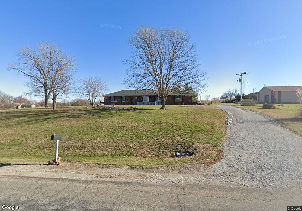
22315 Highway B Edgerton, MO 64444
Estimated Value: $357,496 - $413,000
3
Beds
2
Baths
1,652
Sq Ft
$228/Sq Ft
Est. Value
About This Home
This home is located at 22315 Highway B, Edgerton, MO 64444 and is currently estimated at $376,374, approximately $227 per square foot. 22315 Highway B is a home located in Platte County with nearby schools including North Platte Elementary School, North Platte Intermediate School, and North Platte Junior High School.
Ownership History
Date
Name
Owned For
Owner Type
Purchase Details
Closed on
Sep 7, 2012
Sold by
Roberts Vincent H and Roberts Jeannie F
Bought by
Kathzenmeier Harvey L and Kathzenmeier Donna J
Current Estimated Value
Home Financials for this Owner
Home Financials are based on the most recent Mortgage that was taken out on this home.
Original Mortgage
$148,000
Outstanding Balance
$86,577
Interest Rate
3.62%
Mortgage Type
New Conventional
Estimated Equity
$289,797
Purchase Details
Closed on
Mar 7, 2008
Sold by
Miller Kenneth T and Miller Barbara I
Bought by
Roberts Vincent H
Home Financials for this Owner
Home Financials are based on the most recent Mortgage that was taken out on this home.
Original Mortgage
$199,500
Interest Rate
5.67%
Mortgage Type
Future Advance Clause Open End Mortgage
Create a Home Valuation Report for This Property
The Home Valuation Report is an in-depth analysis detailing your home's value as well as a comparison with similar homes in the area
Purchase History
| Date | Buyer | Sale Price | Title Company |
|---|---|---|---|
| Kathzenmeier Harvey L | -- | Advantage Title Llc | |
| Roberts Vincent H | -- | Platte County & Abstract |
Source: Public Records
Mortgage History
| Date | Status | Borrower | Loan Amount |
|---|---|---|---|
| Open | Kathzenmeier Harvey L | $148,000 | |
| Previous Owner | Roberts Vincent H | $199,500 |
Source: Public Records
Tax History
| Year | Tax Paid | Tax Assessment Tax Assessment Total Assessment is a certain percentage of the fair market value that is determined by local assessors to be the total taxable value of land and additions on the property. | Land | Improvement |
|---|---|---|---|---|
| 2025 | $2,990 | $41,847 | $2,850 | $38,997 |
| 2024 | $3,031 | $41,847 | $2,850 | $38,997 |
| 2023 | $3,031 | $42,475 | $2,850 | $39,625 |
| 2022 | $2,817 | $39,329 | $2,850 | $36,479 |
| 2021 | $2,802 | $39,329 | $2,850 | $36,479 |
| 2020 | $2,539 | $34,990 | $2,850 | $32,140 |
| 2019 | $2,539 | $34,990 | $2,850 | $32,140 |
| 2018 | $2,542 | $34,990 | $2,850 | $32,140 |
| 2017 | $2,544 | $34,990 | $2,850 | $32,140 |
| 2016 | $2,221 | $30,488 | $2,850 | $27,638 |
| 2015 | $2,326 | $31,947 | $2,850 | $29,097 |
| 2013 | $2,266 | $31,947 | $0 | $0 |
Source: Public Records
Map
Nearby Homes
- 501 N Platte Ave
- 8894 Ssr-Z Hwy
- Lot 1, 2 Z Hwy
- Z Highway Lot: 1 Unit 2
- 8894 SW Highway Z
- Lot 2 Z Hwy
- Lot 3 Z Hwy
- 19845 S Ridgely Rd
- 12120 SE West Rd
- 7127 SW Karen Rd
- 10A Highway 169
- 2 Redbud Ln
- 501 Port Arthur Rd
- 6320 NE 164th St
- 0 Cockriel Rd
- Harmony Plan at Clay Creek
- Chatham Plan at Clay Creek
- Bellamy Plan at Clay Creek
- Newcastle Plan at Clay Creek
- 100 Lake Meadows Dr
Your Personal Tour Guide
Ask me questions while you tour the home.