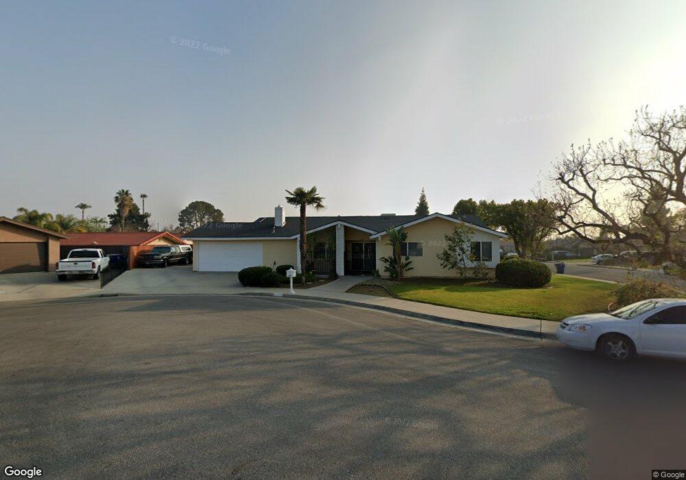
2233 Chris Ct Bakersfield, CA 93306
College Heights NeighborhoodEstimated Value: $310,289 - $372,000
3
Beds
2
Baths
1,511
Sq Ft
$227/Sq Ft
Est. Value
About This Home
This home is located at 2233 Chris Ct, Bakersfield, CA 93306 and is currently estimated at $343,322, approximately $227 per square foot. 2233 Chris Ct is a home located in Kern County with nearby schools including Harding Elementary School, Compton Junior High School, and East Bakersfield High School.
Ownership History
Date
Name
Owned For
Owner Type
Purchase Details
Closed on
Feb 2, 1998
Sold by
Heinrich Mark T and Heinrich Diane M
Bought by
Buchanan Ronald T and Buchanan Deborah M
Current Estimated Value
Home Financials for this Owner
Home Financials are based on the most recent Mortgage that was taken out on this home.
Original Mortgage
$97,000
Interest Rate
6.97%
Create a Home Valuation Report for This Property
The Home Valuation Report is an in-depth analysis detailing your home's value as well as a comparison with similar homes in the area
Home Values in the Area
Average Home Value in this Area
Purchase History
| Date | Buyer | Sale Price | Title Company |
|---|---|---|---|
| Buchanan Ronald T | $99,000 | First American Title Co |
Source: Public Records
Mortgage History
| Date | Status | Borrower | Loan Amount |
|---|---|---|---|
| Previous Owner | Buchanan Ronald T | $97,000 |
Source: Public Records
Tax History
| Year | Tax Paid | Tax Assessment Tax Assessment Total Assessment is a certain percentage of the fair market value that is determined by local assessors to be the total taxable value of land and additions on the property. | Land | Improvement |
|---|---|---|---|---|
| 2025 | $2,448 | $158,054 | $39,905 | $118,149 |
| 2024 | $2,392 | $154,956 | $39,123 | $115,833 |
| 2023 | $2,392 | $151,918 | $38,356 | $113,562 |
| 2022 | $2,331 | $148,940 | $37,604 | $111,336 |
| 2021 | $2,222 | $146,020 | $36,867 | $109,153 |
| 2020 | $2,185 | $144,523 | $36,489 | $108,034 |
| 2019 | $2,141 | $144,523 | $36,489 | $108,034 |
| 2018 | $2,091 | $138,913 | $35,073 | $103,840 |
| 2017 | $2,077 | $136,190 | $34,386 | $101,804 |
| 2016 | $1,911 | $133,520 | $33,712 | $99,808 |
| 2015 | $1,897 | $131,515 | $33,206 | $98,309 |
| 2014 | $1,834 | $128,940 | $32,556 | $96,384 |
Source: Public Records
Map
Nearby Homes
- 2720 Edwards Ave
- 2935 Shelly Ln
- 2613 Edwards Ave
- 2609 Edwards Ave
- 2100 Kent Dr
- 2417 Edwards Ave
- 1801 Los Robles Dr
- 3501 Bernard St Unit 12C
- 3501 Bernard St Unit 33C
- 2708 College Ave
- 1805 Morgan Ln
- 2239 Elton Ave
- 2814 College Ave
- 2504 Kent Dr
- 1812 Country Club Dr
- 1904 Ridgewood Dr
- 1800 Country Club Dr
- 3625 Bernard St Unit 5
- 2626 Cleo Ct Unit 29
- 2626 Cleo Ct Unit 20
Your Personal Tour Guide
Ask me questions while you tour the home.