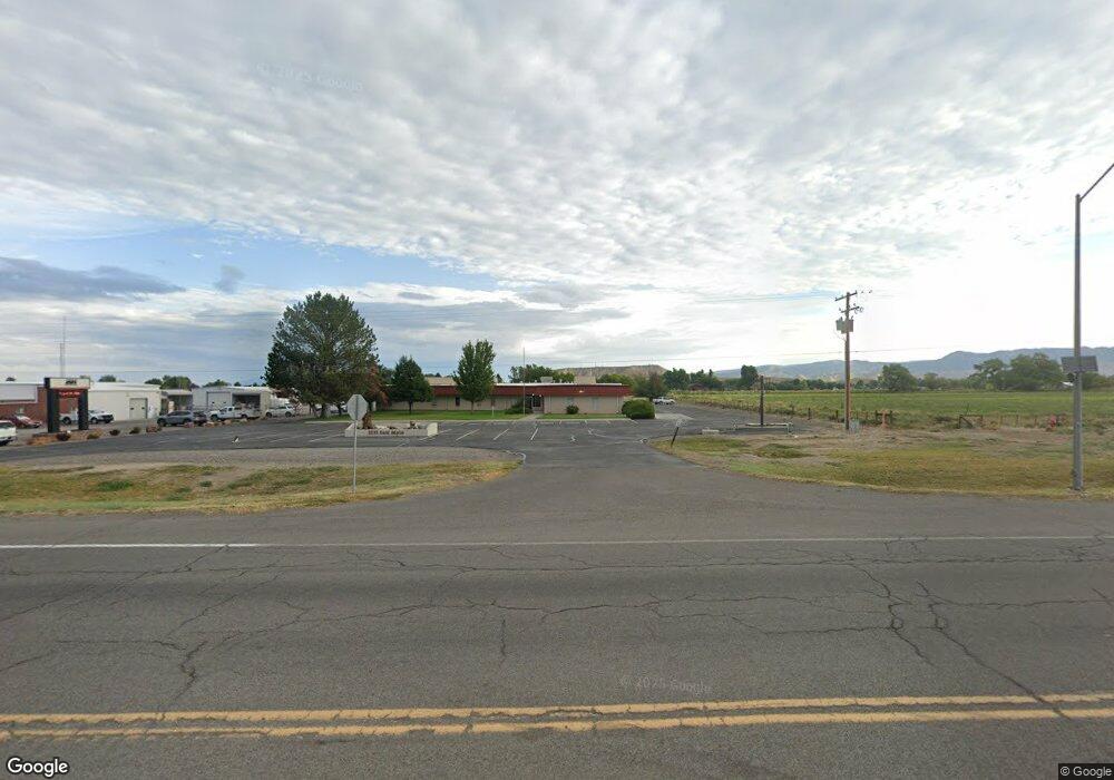
2233 E Main St Montrose, CO 81401
Estimated Value: $1,520,776
Studio
7
Baths
12,639
Sq Ft
$120/Sq Ft
Est. Value
About This Home
This home is located at 2233 E Main St, Montrose, CO 81401 and is currently estimated at $1,520,776, approximately $120 per square foot. 2233 E Main St is a home located in Montrose County with nearby schools including Johnson Elementary School, Centennial Middle School, and Montrose High School.
Ownership History
Date
Name
Owned For
Owner Type
Purchase Details
Closed on
Oct 28, 2022
Sold by
Shemli Properties Llc
Bought by
Hilltop Health Services Corporation
Current Estimated Value
Purchase Details
Closed on
May 1, 1998
Sold by
High Country Properties Partners X
Bought by
Shemli Properties Llc
Purchase Details
Closed on
Oct 21, 1993
Sold by
Four Four Corporation Of Delaware
Bought by
High Country Properties Partners X
Purchase Details
Closed on
May 8, 1978
Sold by
Miller David H and Miller Annetta O
Bought by
Four Four Corporation Of Delaware
Create a Home Valuation Report for This Property
The Home Valuation Report is an in-depth analysis detailing your home's value as well as a comparison with similar homes in the area
Purchase History
| Date | Buyer | Sale Price | Title Company |
|---|---|---|---|
| Hilltop Health Services Corporation | $1,400,000 | Land Title | |
| Shemli Properties Llc | $517,000 | -- | |
| High Country Properties Partners X | $475,000 | -- | |
| Four Four Corporation Of Delaware | -- | -- |
Source: Public Records
Tax History
| Year | Tax Paid | Tax Assessment Tax Assessment Total Assessment is a certain percentage of the fair market value that is determined by local assessors to be the total taxable value of land and additions on the property. | Land | Improvement |
|---|---|---|---|---|
| 2024 | $23,323 | $323,580 | $95,560 | $228,020 |
| 2023 | $24,082 | $345,040 | $99,330 | $245,710 |
| 2022 | $21,670 | $310,480 | $82,770 | $227,710 |
| 2021 | $21,694 | $310,480 | $82,770 | $227,710 |
| 2020 | $20,096 | $295,580 | $76,640 | $218,940 |
| 2019 | $20,226 | $295,580 | $76,640 | $218,940 |
| 2018 | $18,274 | $260,270 | $72,980 | $187,290 |
| 2017 | $18,127 | $260,270 | $72,980 | $187,290 |
| 2016 | $18,392 | $268,400 | $72,980 | $195,420 |
| 2015 | -- | $0 | $0 | $0 |
Source: Public Records
Map
Nearby Homes
- 230 Crossroads Cir
- 266 Crossroads Cir
- 2091 Locust Rd
- 13+ Acres Highway 50
- 133 Castle Ave
- 2141 tbd Oregon St
- 67133 Locust Rd
- 403 6600 Rd
- 381 6600 Rd
- TBD Highway 50 Iron Horse Dr
- 383 S Hillcrest Dr Unit 62
- 383 S Hillcrest Dr Unit 49
- 383 S Hillcrest Dr Unit 30
- 383 S Hillcrest Dr Unit 13
- 1513 Arizona St
- 301 Colonial Ct
- 1416 Colonial Dr
- TBD Lot 11 E Star Ct
- TBD Lot 9 E Star Ct
- TBD Lot 10 E Star Ct
- 2183 E Main St
- 2121 E Main St
- 200 de Maria Rd
- E Hwy 50 Hwy Unit 271
- E Hwy 50 Hwy
- E Hwy 50 Hwy Unit 18
- 201 de Maria Rd
- 2180 E Main St
- 2180 E Main St Unit East portion
- 2180 E Main St Unit front/east portion
- 2180 E Main St Unit East side of the fro
- 210 de Maria Rd
- 2320 E Highway 50
- 2320 E Main St
- 2320 E Main St
- TBD Tract 12 Highway 50
- TBD Track 11 Highway 50
- Tract 12 Highway 50
- 13.33 Acres U S 50
- Tract 12 U S 50
Your Personal Tour Guide
Ask me questions while you tour the home.