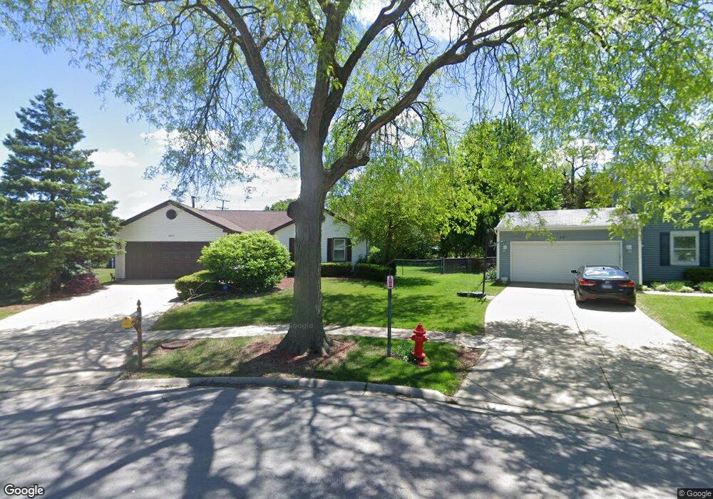
2233 Kensington Dr Schaumburg, IL 60194
West Schaumburg NeighborhoodEstimated Value: $356,000 - $470,000
3
Beds
2
Baths
1,792
Sq Ft
$234/Sq Ft
Est. Value
About This Home
This home is located at 2233 Kensington Dr, Schaumburg, IL 60194 and is currently estimated at $419,474, approximately $234 per square foot. 2233 Kensington Dr is a home located in Cook County with nearby schools including Neil Armstrong Elementary School, Dwight D Eisenhower Junior High School, and Hoffman Estates High School.
Ownership History
Date
Name
Owned For
Owner Type
Purchase Details
Closed on
Oct 26, 1995
Sold by
Defalco Haras Gregory M and Defalco Haras Linda
Bought by
Conjardi Samuel J and Conjardi Diane P
Current Estimated Value
Home Financials for this Owner
Home Financials are based on the most recent Mortgage that was taken out on this home.
Original Mortgage
$130,000
Outstanding Balance
$1,820
Interest Rate
7.61%
Estimated Equity
$417,654
Create a Home Valuation Report for This Property
The Home Valuation Report is an in-depth analysis detailing your home's value as well as a comparison with similar homes in the area
Home Values in the Area
Average Home Value in this Area
Purchase History
| Date | Buyer | Sale Price | Title Company |
|---|---|---|---|
| Conjardi Samuel J | $170,000 | Attorneys Title Guaranty Fun |
Source: Public Records
Mortgage History
| Date | Status | Borrower | Loan Amount |
|---|---|---|---|
| Open | Conjardi Samuel J | $130,000 |
Source: Public Records
Tax History Compared to Growth
Tax History
| Year | Tax Paid | Tax Assessment Tax Assessment Total Assessment is a certain percentage of the fair market value that is determined by local assessors to be the total taxable value of land and additions on the property. | Land | Improvement |
|---|---|---|---|---|
| 2024 | $7,579 | $33,000 | $5,242 | $27,758 |
| 2023 | $7,297 | $33,000 | $5,242 | $27,758 |
| 2022 | $7,297 | $33,000 | $5,242 | $27,758 |
| 2021 | $5,210 | $23,063 | $3,713 | $19,350 |
| 2020 | $5,268 | $23,063 | $3,713 | $19,350 |
| 2019 | $5,363 | $25,914 | $3,713 | $22,201 |
| 2018 | $6,307 | $26,885 | $3,276 | $23,609 |
| 2017 | $6,223 | $26,885 | $3,276 | $23,609 |
| 2016 | $6,328 | $26,885 | $3,276 | $23,609 |
| 2015 | $5,922 | $24,012 | $2,839 | $21,173 |
| 2014 | $5,885 | $24,012 | $2,839 | $21,173 |
| 2013 | $5,708 | $24,012 | $2,839 | $21,173 |
Source: Public Records
Map
Nearby Homes
- 2216 Andover Ct
- 2312 Hyde Ct
- 2201 Brittany Ct Unit 20
- 741 N Walnut Ln
- 569 N Walnut Ln
- 8 Warwick Ct
- 10 Warwick Ct
- 808 Bishop Ct Unit 2
- 508 N Walnut Ln
- 1912 Finchley Ct Unit 3
- 155 Hastings Mill Rd
- 1929 Hastings Ct Unit 3
- 1924 Quaker Hollow Ln Unit 14
- 1968 Quaker Hollow Ln Unit 12
- 454 Willington Dr
- 413 Linsey Ave
- 604 N Brookdale Dr
- 775 Harmon Blvd
- 1103 Southbridge Ln
- 208 Judy Ln
- 800 Maywood Ln
- 2237 Kensington Dr
- 2229 Kensington Dr
- 804 Maywood Ln
- 2241 Kensington Dr
- 2225 Kensington Dr
- 2215 Kensington Dr
- 808 Maywood Ln
- 736 Huntly Ct
- 2245 Kensington Dr
- 738 Huntly Ct Unit 1
- 734 Huntly Ct
- 756 Primrose Ln
- 732 Huntly Ct
- 730 Huntly Ct
- 730 Huntly Ct Unit 1
- 722 Huntly Ct
- 728 Huntly Ct Unit 1
- 720 Huntly Ct Unit 1
- 724 Huntly Ct