2235 Old Kings Hwy Wellfleet, MA 02667
Estimated Value: $456,000 - $867,000
2
Beds
2
Baths
1,200
Sq Ft
$618/Sq Ft
Est. Value
About This Home
This home is located at 2235 Old Kings Hwy, Wellfleet, MA 02667 and is currently estimated at $741,818, approximately $618 per square foot. 2235 Old Kings Hwy is a home located in Barnstable County with nearby schools including Wellfleet Elementary School, Nauset Regional Middle School, and Nauset Regional High School.
Ownership History
Date
Name
Owned For
Owner Type
Purchase Details
Closed on
May 2, 2013
Sold by
Peaslee Marcia J
Bought by
Marcia J Peaslee Ft and Peaslee
Current Estimated Value
Purchase Details
Closed on
Jul 1, 1982
Bought by
Peaslee Marcia J
Create a Home Valuation Report for This Property
The Home Valuation Report is an in-depth analysis detailing your home's value as well as a comparison with similar homes in the area
Home Values in the Area
Average Home Value in this Area
Purchase History
| Date | Buyer | Sale Price | Title Company |
|---|---|---|---|
| Marcia J Peaslee Ft | -- | -- | |
| Marcia J Peaslee Ft | -- | -- | |
| Peaslee Marcia J | $16,600 | -- |
Source: Public Records
Tax History Compared to Growth
Tax History
| Year | Tax Paid | Tax Assessment Tax Assessment Total Assessment is a certain percentage of the fair market value that is determined by local assessors to be the total taxable value of land and additions on the property. | Land | Improvement |
|---|---|---|---|---|
| 2025 | $5,165 | $726,400 | $318,500 | $407,900 |
| 2024 | $4,813 | $704,700 | $303,300 | $401,400 |
| 2023 | $4,299 | $617,700 | $257,100 | $360,600 |
| 2022 | $3,807 | $489,300 | $225,500 | $263,800 |
| 2021 | $3,465 | $440,900 | $201,300 | $239,600 |
| 2020 | $3,356 | $433,000 | $211,900 | $221,100 |
| 2019 | $3,289 | $425,500 | $211,900 | $213,600 |
| 2018 | $3,028 | $421,700 | $211,900 | $209,800 |
| 2017 | $2,850 | $420,300 | $211,900 | $208,400 |
| 2016 | $2,772 | $405,900 | $209,800 | $196,100 |
| 2015 | $2,759 | $406,900 | $207,700 | $199,200 |
Source: Public Records
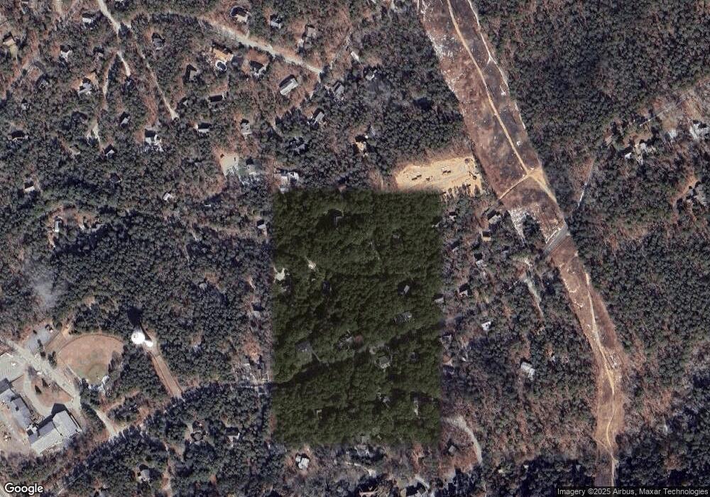
Map
Nearby Homes
- 240 Gross Hill Rd
- 40 Old Long Pond Rd
- 49 Oak Valley Rd
- 50 Higgins Ln
- 30 Harbor View Cir
- 10 Bank St
- 20 Bank St
- 135 Marven Way
- 35 Holbrook Ave
- 256 Browns Neck Rd
- 225 Coles Neck Rd
- 164 Kendrick Ave Unit B
- 164 Kendrick Ave Unit C
- 260 Kendrick Ave Unit 4
- 175 Delphi Path
- 30 Sam Hollow Rd
- 65 Belding Way
- 320 Coles Neck Rd
- 100 E Hill Rd
- 345 Cove Rd
- 2249 Old Kings Hwy
- 180 Old Long Pond Rd
- 2217 Old Kings Hwy
- 2240 Old Kings Hwy
- 2261 Old Kings Hwy
- 160 Old Long Pond Rd
- 2218 Old Kings Hwy
- 245 Long Pond Rd
- 165 Old Long Pond Rd
- 275 Long Pond Rd
- 245 Old Long Pond Rd
- 145 Old Long Pond Rd
- 285 Long Pond Rd
- 15 Pine Valley Rd
- 10 Pine Valley Rd
- 225 Long Pond Rd
- 2275 Old Kings Hwy
- 2 River Harbor Rd
- 240 Old Long Pond Rd
- 250 Long Pond Rd