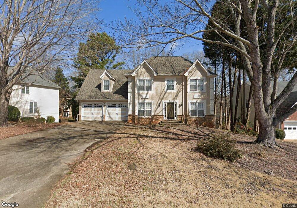
2235 Saint Thomas Way Unit 1 Suwanee, GA 30024
Estimated Value: $438,000 - $461,000
4
Beds
3
Baths
2,216
Sq Ft
$203/Sq Ft
Est. Value
About This Home
This home is located at 2235 Saint Thomas Way Unit 1, Suwanee, GA 30024 and is currently estimated at $449,744, approximately $202 per square foot. 2235 Saint Thomas Way Unit 1 is a home located in Gwinnett County with nearby schools including Walnut Grove Elementary School, Creekland Middle School, and Collins Hill High School.
Ownership History
Date
Name
Owned For
Owner Type
Purchase Details
Closed on
Aug 31, 2011
Sold by
Carroll David E
Bought by
Cook Darin
Current Estimated Value
Home Financials for this Owner
Home Financials are based on the most recent Mortgage that was taken out on this home.
Original Mortgage
$192,006
Outstanding Balance
$131,218
Interest Rate
4.37%
Mortgage Type
FHA
Estimated Equity
$318,526
Purchase Details
Closed on
Feb 28, 2003
Sold by
Zimmerman Ron
Bought by
Carroll David E
Home Financials for this Owner
Home Financials are based on the most recent Mortgage that was taken out on this home.
Original Mortgage
$162,800
Interest Rate
5.79%
Mortgage Type
New Conventional
Create a Home Valuation Report for This Property
The Home Valuation Report is an in-depth analysis detailing your home's value as well as a comparison with similar homes in the area
Home Values in the Area
Average Home Value in this Area
Purchase History
| Date | Buyer | Sale Price | Title Company |
|---|---|---|---|
| Cook Darin | $197,000 | -- | |
| Carroll David E | $203,500 | -- |
Source: Public Records
Mortgage History
| Date | Status | Borrower | Loan Amount |
|---|---|---|---|
| Open | Cook Darin | $192,006 | |
| Previous Owner | Carroll David E | $40,700 | |
| Previous Owner | Carroll David E | $162,800 |
Source: Public Records
Tax History Compared to Growth
Tax History
| Year | Tax Paid | Tax Assessment Tax Assessment Total Assessment is a certain percentage of the fair market value that is determined by local assessors to be the total taxable value of land and additions on the property. | Land | Improvement |
|---|---|---|---|---|
| 2025 | $4,631 | $183,040 | $28,000 | $155,040 |
| 2024 | $4,669 | $177,880 | $34,000 | $143,880 |
| 2023 | $4,669 | $169,560 | $31,600 | $137,960 |
| 2022 | $4,253 | $159,280 | $29,200 | $130,080 |
| 2021 | $3,248 | $108,120 | $20,200 | $87,920 |
| 2020 | $3,273 | $108,120 | $20,200 | $87,920 |
| 2019 | $3,201 | $108,120 | $20,200 | $87,920 |
| 2018 | $3,183 | $107,080 | $17,200 | $89,880 |
| 2016 | $2,748 | $85,960 | $14,440 | $71,520 |
| 2015 | $2,526 | $74,840 | $12,400 | $62,440 |
| 2014 | -- | $74,840 | $12,400 | $62,440 |
Source: Public Records
Map
Nearby Homes
- 2370 Cape Courage Way
- 2372 Merrymount Dr Unit 2
- 2167 Merrymount Dr
- 2265 Wildwood Lake Dr
- 2140 Wildcat Cliffs Way
- 2061 Wildcat Cliffs Ln
- 205 Camden Creek Ct
- 1924 Sidneys Cove
- 2205 Parliament Dr
- 232 Clarion Rd
- 2067 York River Way
- 2315 Prosperity Way Unit 2
- 2140 Deer Trail
- 1932 Riverton Dr
- 1839 Stonebrook Way
- 2512 Herndon Rd
- 332 Clarion Rd
- 2155 Parliament Dr
- 1838 Prince Dr
- 267 Arbour Way
- 2245 Saint Thomas Way Unit 1
- 53 Saint Aurics Dr Unit 2
- 2215 Saint Thomas Way Unit 1
- 65 Saint Aurics Dr Unit 2
- 47 Saint Aurics Dr Unit 2
- 71 Saint Aurics Dr Unit 2
- 2230 Saint Thomas Way Unit 1
- 2205 Saint Thomas Way Unit 2205
- 2205 Saint Thomas Way Unit 1
- 2205 Saint Thomas Way
- 77 Saint Aurics Dr
- 2240 Saint Thomas Way
- 2210 Saint Thomas Way
- 135 Richland Pkwy
- 37 Saint Aurics Dr Unit 3
- 56 Saint Aurics Dr
- 50 Saint Aurics Dr Unit 2
- 2200 St Thomas Way
- 2195 Saint Thomas Way
- 2195 Saint Thomas Way Unit 1