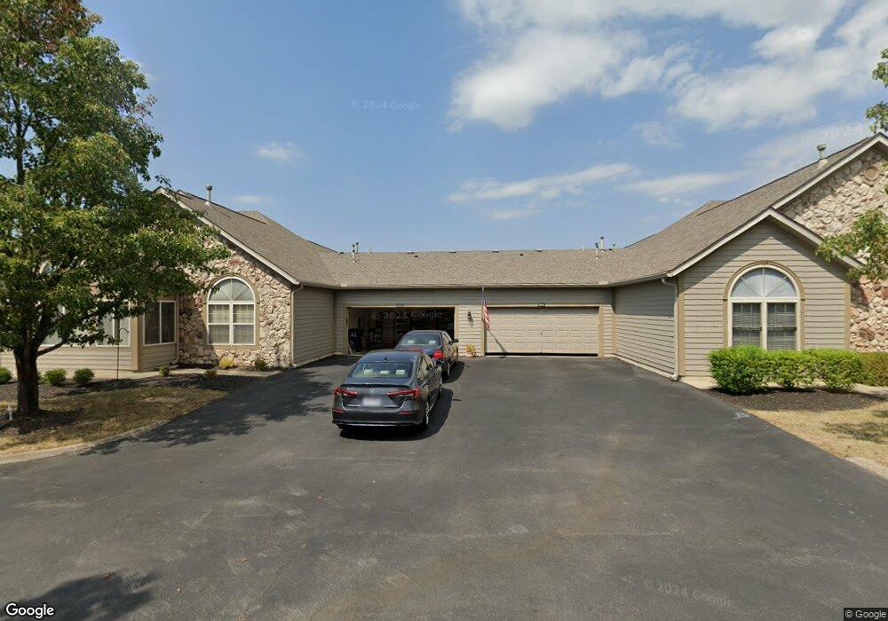
2235 William T Cir Unit 52235 Lancaster, OH 43130
Estimated Value: $250,000 - $310,000
2
Beds
2
Baths
1,552
Sq Ft
$183/Sq Ft
Est. Value
About This Home
This home is located at 2235 William T Cir Unit 52235, Lancaster, OH 43130 and is currently estimated at $283,419, approximately $182 per square foot. 2235 William T Cir Unit 52235 is a home located in Fairfield County with nearby schools including Medill Elementary School, Thomas Ewing Junior High School, and Lancaster High School.
Ownership History
Date
Name
Owned For
Owner Type
Purchase Details
Closed on
Jul 6, 2023
Sold by
Pryor Martha H
Bought by
Bruce Traci J
Current Estimated Value
Purchase Details
Closed on
Jan 8, 2021
Sold by
Cochenour Dean A
Bought by
Pryor Martha H
Purchase Details
Closed on
Mar 27, 2003
Sold by
Dovel Ltd
Bought by
Cochenour Janet K
Home Financials for this Owner
Home Financials are based on the most recent Mortgage that was taken out on this home.
Original Mortgage
$80,000
Interest Rate
5.95%
Mortgage Type
Purchase Money Mortgage
Create a Home Valuation Report for This Property
The Home Valuation Report is an in-depth analysis detailing your home's value as well as a comparison with similar homes in the area
Home Values in the Area
Average Home Value in this Area
Purchase History
| Date | Buyer | Sale Price | Title Company |
|---|---|---|---|
| Bruce Traci J | $202,100 | Valmer Land Title | |
| Pryor Martha H | $188,500 | None Available | |
| Cochenour Janet K | $149,900 | Hocking Valley Title Agency |
Source: Public Records
Mortgage History
| Date | Status | Borrower | Loan Amount |
|---|---|---|---|
| Previous Owner | Cochenour Janet K | $80,000 |
Source: Public Records
Tax History Compared to Growth
Tax History
| Year | Tax Paid | Tax Assessment Tax Assessment Total Assessment is a certain percentage of the fair market value that is determined by local assessors to be the total taxable value of land and additions on the property. | Land | Improvement |
|---|---|---|---|---|
| 2024 | $6,372 | $70,880 | $11,760 | $59,120 |
| 2023 | $2,634 | $70,880 | $11,760 | $59,120 |
| 2022 | $2,649 | $70,880 | $11,760 | $59,120 |
| 2021 | $2,192 | $54,960 | $11,760 | $43,200 |
| 2020 | $2,053 | $54,960 | $11,760 | $43,200 |
| 2019 | $1,952 | $54,960 | $11,760 | $43,200 |
| 2018 | $1,847 | $47,220 | $11,760 | $35,460 |
| 2017 | $1,848 | $49,410 | $11,760 | $37,650 |
| 2016 | $1,800 | $49,410 | $11,760 | $37,650 |
| 2015 | $1,790 | $47,700 | $11,760 | $35,940 |
| 2014 | $1,705 | $47,700 | $11,760 | $35,940 |
| 2013 | $1,705 | $47,700 | $11,760 | $35,940 |
Source: Public Records
Map
Nearby Homes
- 2195 William T Cir
- 1801 Pleasantview Dr NE
- 1916 Country Place
- 1590 Northwood Dr NE
- 2149 Pleasantview Dr NE
- 1101 Beechwood Dr NE
- 173 Lakeview Dr NE
- 0 Stringtown Rd NW
- 1195 Longwood Dr NE
- 1189 Ridge Rd NE
- 0 Old Millersport Rd NE Unit Tract 8 224028101
- 0 Old Millersport Rd NE Unit Lot 10 225033491
- 0 Old Millersport Rd NE Unit 225010386
- 1799 Declaration Dr W
- 2444 Sheridan Dr
- 0 Declaration Dr W Unit 219044159
- 1523 Fuller Ct
- 0 Tschopp Rd NE Unit Lot 17 225027320
- 0 Tschopp Rd NE Unit Lot 33 225027324
- 1669 Lexington Dr
- 2231 William T Cir Unit 52231
- 2237 William T Cir Unit 52237
- 2233 William T Cir Unit 52233
- 2225 William T Cir
- 2086 William T Cir
- 2070 William T Cir
- 2197 William T Cir
- 2088 William T Cir
- 2234 William T Cir Unit 62234
- 2242 William T Cir Unit 42242
- 2082 William T Cir
- 2232 William T Cir
- 2223 William T Cir
- 2221 William T Cir
- 2191 William T Cir
- 2244 William T Cir
- 2084 William T Cir
- 2193 William T Cir
- 2185 William T Cir
- 2246 William T Cir