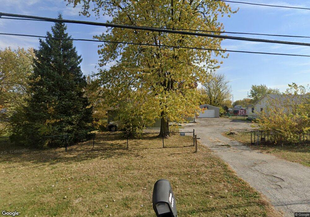
2237 S Lynhurst Dr Indianapolis, IN 46241
Stout Field NeighborhoodEstimated Value: $144,000 - $202,000
4
Beds
2
Baths
1,690
Sq Ft
$103/Sq Ft
Est. Value
About This Home
This home is located at 2237 S Lynhurst Dr, Indianapolis, IN 46241 and is currently estimated at $174,768, approximately $103 per square foot. 2237 S Lynhurst Dr is a home located in Marion County with nearby schools including Maplewood Elementary School, Lynhurst 7th & 8th Grade Center, and Ben Davis University High School.
Ownership History
Date
Name
Owned For
Owner Type
Purchase Details
Closed on
Nov 9, 2023
Sold by
Anand Corporation
Bought by
Indy Holdings Llc
Current Estimated Value
Purchase Details
Closed on
Oct 1, 2023
Sold by
Anand Corporation
Bought by
Indy Holdings Llc
Purchase Details
Closed on
Jun 13, 2022
Sold by
Ranjit Dhillon
Bought by
Anand Corporation
Purchase Details
Closed on
May 15, 2008
Sold by
Lasalle Bank Na
Bought by
Dhillon Ranjit
Purchase Details
Closed on
May 7, 2008
Sold by
Murray James and Grange Insurance
Bought by
Lasalle Bank Na
Create a Home Valuation Report for This Property
The Home Valuation Report is an in-depth analysis detailing your home's value as well as a comparison with similar homes in the area
Home Values in the Area
Average Home Value in this Area
Purchase History
| Date | Buyer | Sale Price | Title Company |
|---|---|---|---|
| Indy Holdings Llc | -- | None Listed On Document | |
| Indy Holdings Llc | -- | None Listed On Document | |
| Anand Corporation | -- | None Listed On Document | |
| Dhillon Ranjit | -- | Title One | |
| Lasalle Bank Na | $80,325 | None Available |
Source: Public Records
Tax History Compared to Growth
Tax History
| Year | Tax Paid | Tax Assessment Tax Assessment Total Assessment is a certain percentage of the fair market value that is determined by local assessors to be the total taxable value of land and additions on the property. | Land | Improvement |
|---|---|---|---|---|
| 2024 | $4,408 | $172,700 | $5,000 | $167,700 |
| 2023 | $4,408 | $174,900 | $5,000 | $169,900 |
| 2022 | $4,046 | $160,000 | $5,000 | $155,000 |
| 2021 | $3,076 | $107,600 | $5,000 | $102,600 |
| 2020 | $2,637 | $91,500 | $5,000 | $86,500 |
| 2019 | $2,632 | $91,500 | $5,000 | $86,500 |
| 2018 | $2,288 | $90,700 | $5,000 | $85,700 |
| 2017 | $2,265 | $89,900 | $5,000 | $84,900 |
| 2016 | $2,220 | $88,200 | $5,000 | $83,200 |
| 2014 | $1,850 | $92,500 | $5,000 | $87,500 |
| 2013 | $1,850 | $92,500 | $5,000 | $87,500 |
Source: Public Records
Map
Nearby Homes
- 2013 S Lynhurst Dr
- 5062 W Regent St
- 4835 W Regent St
- 5022 W Legrande Ave
- 5026 W Legrande Ave
- 5030 W Legrande Ave
- 5018 W Legrande Ave
- 4839 W Regent St
- 4905 Melrose Ave
- 4731 Mecca St
- 4725 Mecca St
- 4825 Melrose Ave
- 4622 W Caven St
- 4625 Melrose Ave
- 4607 Melrose Ave
- 4625 W Naomi St
- 2709 Westbrook Ave
- 1414 Ingomar St
- 1329 Phillips Dr
- 2720 S Taft Ave
- 2251 S Lynhurst Dr
- 2253 S Lynhurst Dr
- 2201 S Lynhurst Dr
- 5268 W Kelly St
- 2230 S Lynhurst Dr
- 2224 S Lynhurst Dr
- 5243 W Raymond St
- 5239 W Raymond St
- 2255 S Lynhurst Dr
- 2248 S Lynhurst Dr
- 5227 W Raymond St
- 5225 W Raymond St
- 5248 W Kelly St
- 2235 Manhattan Ave
- 2221 Manhattan Ave
- 5223 W Raymond St
- 2243 Manhattan Ave
- 5244 W Kelly St
- 2302 S Lynhurst Dr
- 2301 S Lynhurst Dr