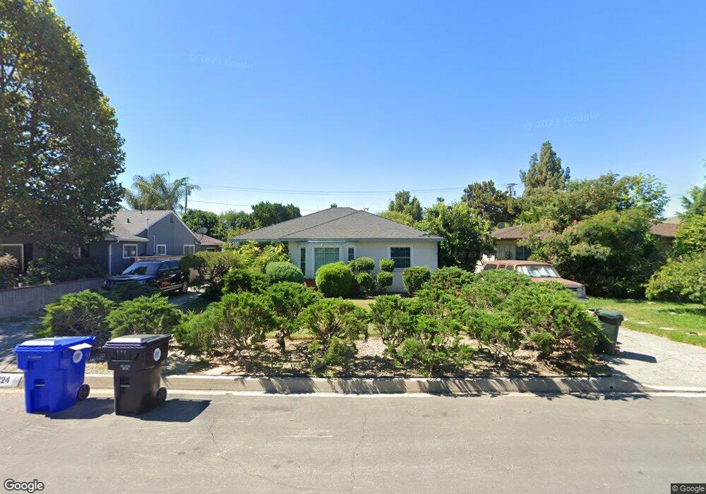
224 Andre St Monrovia, CA 91016
Mayflower Village NeighborhoodEstimated Value: $885,000 - $1,087,000
3
Beds
2
Baths
1,571
Sq Ft
$607/Sq Ft
Est. Value
About This Home
This home is located at 224 Andre St, Monrovia, CA 91016 and is currently estimated at $954,108, approximately $607 per square foot. 224 Andre St is a home located in Los Angeles County with nearby schools including Plymouth Elementary School, Santa Fe Computer Science Magnet, and Monrovia High School.
Create a Home Valuation Report for This Property
The Home Valuation Report is an in-depth analysis detailing your home's value as well as a comparison with similar homes in the area
Home Values in the Area
Average Home Value in this Area
Tax History
| Year | Tax Paid | Tax Assessment Tax Assessment Total Assessment is a certain percentage of the fair market value that is determined by local assessors to be the total taxable value of land and additions on the property. | Land | Improvement |
|---|---|---|---|---|
| 2025 | $3,647 | $274,274 | $89,008 | $185,266 |
| 2024 | $3,647 | $268,897 | $87,263 | $181,634 |
| 2023 | $3,564 | $263,625 | $85,552 | $178,073 |
| 2022 | $3,460 | $258,457 | $83,875 | $174,582 |
| 2021 | $3,386 | $253,390 | $82,231 | $171,159 |
| 2019 | $3,229 | $245,876 | $79,793 | $166,083 |
| 2018 | $3,079 | $241,056 | $78,229 | $162,827 |
| 2016 | $2,946 | $231,698 | $75,193 | $156,505 |
| 2015 | $2,880 | $228,219 | $74,064 | $154,155 |
| 2014 | $2,858 | $223,750 | $72,614 | $151,136 |
Source: Public Records
Map
Nearby Homes
- 107 Brisbane St
- 344 Pamela Rd
- 2548 Peck Rd Unit 39
- 2338 Rochelle Ave
- 492 Shrode Ave
- 2118 Peck Rd
- 416 Jeffries Ave Unit 60
- 416 Jeffries Ave Unit 84
- 416 Jeffries Ave Unit 86
- 2220 Mountain Ave
- 151 E El Norte St
- 2048 Felberg Ave
- 4388 Alamo Ln
- 4344 Alamo Ln
- 4261 Jasmine Ln
- 4259 Jasmine Ln
- 4239 Jasmine Ln
- 4257 Jasmine Ln
- 4241 Jasmine Ln
- 4247 Jasmine Ln
Your Personal Tour Guide
Ask me questions while you tour the home.