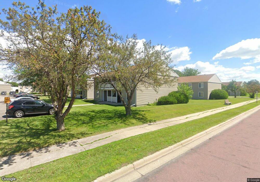
224 Bunting Ln Mankato, MN 56001
Jaycee Park NeighborhoodEstimated Value: $99,000 - $140,000
2
Beds
2
Baths
828
Sq Ft
$142/Sq Ft
Est. Value
About This Home
This home is located at 224 Bunting Ln, Mankato, MN 56001 and is currently estimated at $117,319, approximately $141 per square foot. 224 Bunting Ln is a home located in Blue Earth County with nearby schools including Kennedy Elementary School, Prairie Winds Middle School, and Mankato East Senior High School.
Ownership History
Date
Name
Owned For
Owner Type
Purchase Details
Closed on
Jan 29, 2014
Sold by
Thompson Lee A and Thompson Kimberly J
Bought by
Thompson Ricky A
Current Estimated Value
Purchase Details
Closed on
Sep 1, 2010
Sold by
Miller Andrew D
Bought by
Thompson Ricky A and Thompson Lee A
Home Financials for this Owner
Home Financials are based on the most recent Mortgage that was taken out on this home.
Original Mortgage
$90,000
Interest Rate
4.45%
Mortgage Type
Future Advance Clause Open End Mortgage
Create a Home Valuation Report for This Property
The Home Valuation Report is an in-depth analysis detailing your home's value as well as a comparison with similar homes in the area
Home Values in the Area
Average Home Value in this Area
Purchase History
| Date | Buyer | Sale Price | Title Company |
|---|---|---|---|
| Thompson Ricky A | -- | -- | |
| Thompson Ricky A | $62,500 | -- |
Source: Public Records
Mortgage History
| Date | Status | Borrower | Loan Amount |
|---|---|---|---|
| Previous Owner | Thompson Ricky A | $90,000 |
Source: Public Records
Tax History Compared to Growth
Tax History
| Year | Tax Paid | Tax Assessment Tax Assessment Total Assessment is a certain percentage of the fair market value that is determined by local assessors to be the total taxable value of land and additions on the property. | Land | Improvement |
|---|---|---|---|---|
| 2025 | $934 | $83,800 | $7,500 | $76,300 |
| 2024 | $934 | $80,800 | $7,500 | $73,300 |
| 2023 | $920 | $77,200 | $7,000 | $70,200 |
| 2022 | $1,010 | $77,200 | $7,000 | $70,200 |
| 2021 | $952 | $78,300 | $9,900 | $68,400 |
| 2020 | $866 | $66,400 | $9,900 | $56,500 |
| 2019 | $862 | $66,400 | $9,900 | $56,500 |
| 2018 | $854 | $66,000 | $13,200 | $52,800 |
| 2017 | $838 | $65,800 | $24,800 | $41,000 |
| 2016 | $822 | $67,400 | $24,800 | $42,600 |
| 2015 | $8 | $66,500 | $24,800 | $41,700 |
| 2014 | -- | $193,200 | $74,400 | $118,800 |
Source: Public Records
Map
Nearby Homes
- 107 Raven Ct
- 2 A Madison Ave
- 140 Sandpiper Dr
- 105 Plato St
- 117 Savannah Ct
- 130 Dillon Ave
- 516 Cardinal Place
- 124 Joshua Ct
- 215 215 Parkway Place
- 213 Parkway Place
- 312 Path
- TBD Woodridge
- 124 124 Quinion Dr
- 0 R010918476042 Tbd Woodridge Unit 7036731
- 404 404 Cardinal Dr
- 327 Cardinal Dr
- 421 421 Woodhaven Ln
- 101 101 Pohl Rd
- 101 Pohl Rd
- 340 Rd
- 224 Bunting Ln
- 225 Bunting Ln
- 226 Bunting Ln
- 227 Bunting Ln
- 220 Bunting Ln
- 221 Bunting Ln
- 223 Bunting Ln
- 222 Bunting Ln
- 238 Bunting Ln
- 238 Bunting Ln
- 240 Bunting Ln
- 240 Bunting Ln
- 240 Bunting Ln Unit 240 Bunting Lane
- 236 Bunting Ln
- 213 Bunting Ln
- 212 Bunting Ln
- 239 Bunting Ln
- 239 Bunting Ln
- 241 Bunting Ln
- 241 Bunting Ln