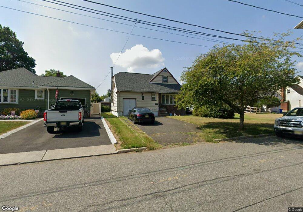
224 Demarest Ave New Milford, NJ 07646
Estimated Value: $601,880 - $712,000
--
Bed
--
Bath
1,406
Sq Ft
$460/Sq Ft
Est. Value
About This Home
This home is located at 224 Demarest Ave, New Milford, NJ 07646 and is currently estimated at $646,470, approximately $459 per square foot. 224 Demarest Ave is a home located in Bergen County with nearby schools including New Milford High School, Top Stone Montesorri, and Solomon Schechter Day School.
Ownership History
Date
Name
Owned For
Owner Type
Purchase Details
Closed on
Jul 3, 2024
Sold by
Nnadi Charles U
Bought by
Charles U Nnadi Irrevocable Trust and Nnadi
Current Estimated Value
Purchase Details
Closed on
Nov 1, 2006
Sold by
Nnadi Charles U
Bought by
Nnadi Charles U
Home Financials for this Owner
Home Financials are based on the most recent Mortgage that was taken out on this home.
Original Mortgage
$310,000
Interest Rate
6.33%
Purchase Details
Closed on
Jul 20, 2000
Sold by
Barrett John J and Barrett Anne Marie
Bought by
Nnadi Charles
Home Financials for this Owner
Home Financials are based on the most recent Mortgage that was taken out on this home.
Original Mortgage
$242,000
Interest Rate
8.1%
Create a Home Valuation Report for This Property
The Home Valuation Report is an in-depth analysis detailing your home's value as well as a comparison with similar homes in the area
Home Values in the Area
Average Home Value in this Area
Purchase History
| Date | Buyer | Sale Price | Title Company |
|---|---|---|---|
| Charles U Nnadi Irrevocable Trust | -- | None Listed On Document | |
| Nnadi Charles U | -- | -- | |
| Nnadi Charles | $255,000 | Chicago Title Insurance Co |
Source: Public Records
Mortgage History
| Date | Status | Borrower | Loan Amount |
|---|---|---|---|
| Previous Owner | Nnadi Charles U | $310,000 | |
| Previous Owner | Nnadi Charles | $242,000 |
Source: Public Records
Tax History Compared to Growth
Tax History
| Year | Tax Paid | Tax Assessment Tax Assessment Total Assessment is a certain percentage of the fair market value that is determined by local assessors to be the total taxable value of land and additions on the property. | Land | Improvement |
|---|---|---|---|---|
| 2025 | $11,350 | $579,100 | $405,000 | $174,100 |
| 2024 | $11,013 | $281,300 | $165,000 | $116,300 |
| 2023 | $10,473 | $281,300 | $165,000 | $116,300 |
| 2022 | $10,473 | $281,300 | $165,000 | $116,300 |
| 2021 | $10,262 | $281,300 | $165,000 | $116,300 |
| 2020 | $10,141 | $281,300 | $165,000 | $116,300 |
| 2019 | $9,966 | $281,300 | $165,000 | $116,300 |
| 2018 | $9,705 | $281,300 | $165,000 | $116,300 |
| 2017 | $9,508 | $281,300 | $165,000 | $116,300 |
| 2016 | $9,345 | $281,300 | $165,000 | $116,300 |
| 2015 | $9,156 | $281,300 | $165,000 | $116,300 |
| 2014 | $8,883 | $281,300 | $165,000 | $116,300 |
Source: Public Records
Map
Nearby Homes
- 227 Milford Ave
- 274 Milford Ave
- 243 Main St
- 211 Madison Ave
- 256 Stevens Ct
- 171 Cleveland St
- 421 Ryeside Ave
- 147 Pine Ave
- 410 Monroe Ave
- 133 Center St Unit E5
- 5 Lawrence Ave
- 69 River Rd
- 109 Center St
- 227 Cedar Rd
- 6 Colonial Ct
- 377 New Milford Ave
- 552 Ryeside Ave
- 85 Dance Blvd
- 507 James St
- 652 Stockton St
- 228 Demarest Ave
- 230 Demarest Ave
- 232 Demarest Ave
- 7 Mccue Ln
- 226 Demarest Ave
- 236 Demarest Ave
- 11 Mccue Ln
- 229 Milford Ave
- 227 Demarest Ave
- 231 Demarest Ave
- 215 Milford Ave
- 240 Demarest Ave
- 235 Milford Ave
- 235 Demarest Ave
- 217 Demarest Ave
- 15 Mccue Ln
- 244 Demarest Ave
- 241 Milford Ave
- 211 Demarest Ave
- 260 Summit Ave