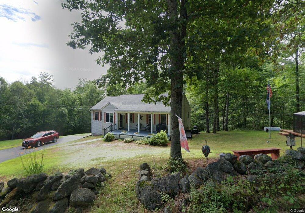
224 Gray Rd Barnstead, NH 03218
Estimated Value: $459,000 - $532,000
3
Beds
2
Baths
1,902
Sq Ft
$261/Sq Ft
Est. Value
About This Home
This home is located at 224 Gray Rd, Barnstead, NH 03218 and is currently estimated at $496,659, approximately $261 per square foot. 224 Gray Rd is a home with nearby schools including Barnstead Elementary School and Prospect Mountain High School.
Ownership History
Date
Name
Owned For
Owner Type
Purchase Details
Closed on
Oct 19, 2007
Sold by
Genaway Matthew S and Genaway Emily F
Bought by
Weiss David A and Weiss Mary Ann
Current Estimated Value
Home Financials for this Owner
Home Financials are based on the most recent Mortgage that was taken out on this home.
Original Mortgage
$224,161
Interest Rate
6.51%
Mortgage Type
Purchase Money Mortgage
Create a Home Valuation Report for This Property
The Home Valuation Report is an in-depth analysis detailing your home's value as well as a comparison with similar homes in the area
Home Values in the Area
Average Home Value in this Area
Purchase History
| Date | Buyer | Sale Price | Title Company |
|---|---|---|---|
| Weiss David A | $217,000 | -- |
Source: Public Records
Mortgage History
| Date | Status | Borrower | Loan Amount |
|---|---|---|---|
| Open | Weiss David A | $198,050 | |
| Closed | Weiss David A | $221,061 | |
| Closed | Weiss David A | $224,161 |
Source: Public Records
Tax History
| Year | Tax Paid | Tax Assessment Tax Assessment Total Assessment is a certain percentage of the fair market value that is determined by local assessors to be the total taxable value of land and additions on the property. | Land | Improvement |
|---|---|---|---|---|
| 2025 | $7,032 | $410,000 | $116,000 | $294,000 |
| 2024 | $6,687 | $410,000 | $116,000 | $294,000 |
| 2023 | $5,884 | $410,000 | $116,000 | $294,000 |
| 2022 | $5,279 | $244,400 | $59,600 | $184,800 |
| 2021 | $5,367 | $244,400 | $59,600 | $184,800 |
| 2020 | $5,646 | $244,400 | $59,600 | $184,800 |
| 2019 | $5,580 | $244,400 | $59,600 | $184,800 |
| 2018 | $5,438 | $244,400 | $59,600 | $184,800 |
| 2017 | $5,211 | $180,300 | $40,600 | $139,700 |
| 2016 | $4,913 | $180,300 | $40,600 | $139,700 |
| 2015 | $4,895 | $180,300 | $40,600 | $139,700 |
| 2014 | $4,397 | $183,500 | $40,600 | $142,900 |
| 2013 | $4,524 | $192,500 | $40,600 | $151,900 |
Source: Public Records
Map
Nearby Homes
- M2-l29-9 Province Rd
- 4 Sandy Point Rd
- L33 Province Rd
- 33 W Meadow Rd
- 88 Winant Rd
- Map R29 Lot 1 Catamount Rd
- L68-1 Vail Rd
- 22 Pinepark Dr
- 97 Fairview Dr
- 56 Beaver Pond Dr
- L68-2 Vail Rd
- 18 Catamount Rd
- 47 Carroll St
- 110 Main St
- 79 High St
- 25 Vail Rd
- 4 Depot St
- 38 Chapelle Rd
- 9 Park St
- Map R29 Lot 1-1 Catamount Rd
- 250 Gray Rd
- 206 Gray Rd
- 205 Gray Rd
- 274 Gray Rd
- 1120 Province Rd
- 1088 Province Rd
- 1130 Province Rd
- 188 Gray Rd
- 1091 Province Rd
- Lot3 Province Rd
- 1070 Province Rd
- L14 Province Rd
- L6 Province Rd
- L13 Province Rd
- L9 Province Rd Unit Tax map 3, lot 29-14
- L7 Province Rd
- L9 Province Rd
- L11 Province Rd
- L15 Province Rd
- 85 Province Rd
Your Personal Tour Guide
Ask me questions while you tour the home.