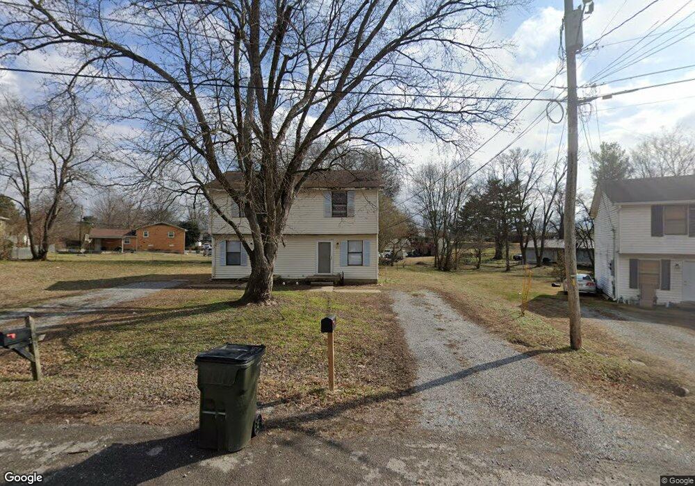
224 Greenleaf Cir Unit 226 Gallatin, TN 37066
Estimated Value: $228,000 - $294,000
--
Bed
2
Baths
1,716
Sq Ft
$159/Sq Ft
Est. Value
About This Home
This home is located at 224 Greenleaf Cir Unit 226, Gallatin, TN 37066 and is currently estimated at $272,879, approximately $159 per square foot. 224 Greenleaf Cir Unit 226 is a home located in Sumner County with nearby schools including Howard Elementary School, Rucker Stewart Middle School, and Gallatin Senior High School.
Ownership History
Date
Name
Owned For
Owner Type
Purchase Details
Closed on
May 25, 2022
Sold by
Short Rick A
Bought by
Rick A Short Living Trust
Current Estimated Value
Purchase Details
Closed on
Jan 28, 2005
Sold by
Mercer Don G and Rippy Wade C
Bought by
Short Rick A
Home Financials for this Owner
Home Financials are based on the most recent Mortgage that was taken out on this home.
Original Mortgage
$78,300
Interest Rate
7.39%
Mortgage Type
Unknown
Purchase Details
Closed on
Feb 3, 1997
Sold by
Braswell Robert
Bought by
Hudgins William G and Hudgins Peggy J
Purchase Details
Closed on
Jan 10, 1997
Sold by
Hudgins William G and Hudgins Peggy J
Bought by
Mercer Don G and Rippy Wade C
Purchase Details
Closed on
Feb 29, 1996
Sold by
Hudgins William G
Bought by
Pratt Donald L
Create a Home Valuation Report for This Property
The Home Valuation Report is an in-depth analysis detailing your home's value as well as a comparison with similar homes in the area
Home Values in the Area
Average Home Value in this Area
Purchase History
| Date | Buyer | Sale Price | Title Company |
|---|---|---|---|
| Rick A Short Living Trust | -- | None Listed On Document | |
| Short Rick A | $87,000 | Nashville Title Ins Corp | |
| Hudgins William G | -- | Service Title & Escrow Co In | |
| Mercer Don G | $50,000 | -- | |
| Pratt Donald L | $124,000 | -- |
Source: Public Records
Mortgage History
| Date | Status | Borrower | Loan Amount |
|---|---|---|---|
| Previous Owner | Short Rick A | $78,300 |
Source: Public Records
Tax History Compared to Growth
Tax History
| Year | Tax Paid | Tax Assessment Tax Assessment Total Assessment is a certain percentage of the fair market value that is determined by local assessors to be the total taxable value of land and additions on the property. | Land | Improvement |
|---|---|---|---|---|
| 2024 | $1,476 | $103,880 | $26,000 | $77,880 |
| 2023 | $1,465 | $48,000 | $18,040 | $29,960 |
| 2022 | $1,470 | $48,000 | $18,040 | $29,960 |
| 2021 | $1,470 | $48,000 | $18,040 | $29,960 |
| 2020 | $1,470 | $48,000 | $18,040 | $29,960 |
| 2019 | $1,470 | $0 | $0 | $0 |
| 2018 | $1,484 | $0 | $0 | $0 |
| 2017 | $1,484 | $0 | $0 | $0 |
| 2016 | $1,063 | $0 | $0 | $0 |
| 2015 | -- | $0 | $0 | $0 |
| 2014 | -- | $0 | $0 | $0 |
Source: Public Records
Map
Nearby Homes
- 226 N Electra St
- 228 Bate Ave
- 0 Creekside Ct
- 218 Barry Ave
- 1108 Riverbrook Dr Unit 322D
- 773 W Eastland St
- 127 Trousdale Ave
- 312 Blade St
- 919 Long Hollow Pike
- 233 Summerlin Dr
- 1021 Jackston MacK Way
- 177 Summerlin Dr
- 172 Summerlin Dr
- 181 Summerlin Dr
- 176 Summerlin Dr
- 180 Summerlin Dr
- 505 Coffee Ct
- 189 Summerlin Dr
- 193 Summerlin Dr
- 192 Summerlin Dr
- 220 Greenleaf Cir Unit 222
- 228 Greenleaf Cir Unit 230
- 218 Greenleaf Cir
- 210 N Electra St
- 215 Greenleaf Cir Unit 217
- 900 Laura St
- 902 Laura St
- 214 N Electra St
- 234 Greenleaf Cir
- 219 Greenleaf Cir Unit 221
- 904 Laura St Unit 906
- 202 N Electra St
- 212 Greenleaf Cir Unit 214
- 218 N Electra St
- 908 Laura St Unit 910
- 212 Walnut Crest Dr Unit 214
- 223 Greenleaf Cir Unit 225
- 216 Walnut Crest Dr Unit 218
- 910 Laura St
- 236 Greenleaf Cir Unit 238