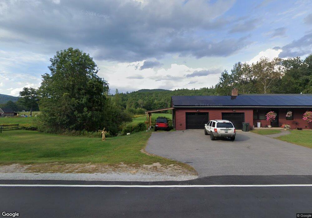
224 Groton Rd Hebron, NH 03241
Estimated Value: $445,000 - $509,000
3
Beds
2
Baths
1,872
Sq Ft
$253/Sq Ft
Est. Value
About This Home
This home is located at 224 Groton Rd, Hebron, NH 03241 and is currently estimated at $473,540, approximately $252 per square foot. 224 Groton Rd is a home located in Grafton County with nearby schools including Bridgewater-Hebron Village School.
Ownership History
Date
Name
Owned For
Owner Type
Purchase Details
Closed on
Jun 24, 2021
Sold by
Murphy Christopher W
Bought by
Murphy Christopher W and Murphy Melissa
Current Estimated Value
Home Financials for this Owner
Home Financials are based on the most recent Mortgage that was taken out on this home.
Original Mortgage
$135,000
Outstanding Balance
$101,153
Interest Rate
2.2%
Mortgage Type
Stand Alone Refi Refinance Of Original Loan
Estimated Equity
$372,387
Purchase Details
Closed on
Jul 20, 2009
Sold by
Comeau Peter S and Comeau Margaret E
Bought by
Murphy Christopher W
Home Financials for this Owner
Home Financials are based on the most recent Mortgage that was taken out on this home.
Original Mortgage
$157,102
Interest Rate
5.31%
Mortgage Type
Purchase Money Mortgage
Create a Home Valuation Report for This Property
The Home Valuation Report is an in-depth analysis detailing your home's value as well as a comparison with similar homes in the area
Home Values in the Area
Average Home Value in this Area
Purchase History
| Date | Buyer | Sale Price | Title Company |
|---|---|---|---|
| Murphy Christopher W | -- | None Available | |
| Murphy Christopher W | -- | None Available | |
| Murphy Christopher W | $160,000 | -- | |
| Murphy Christopher W | $160,000 | -- |
Source: Public Records
Mortgage History
| Date | Status | Borrower | Loan Amount |
|---|---|---|---|
| Open | Murphy Christopher W | $135,000 | |
| Previous Owner | Murphy Christopher W | $157,102 |
Source: Public Records
Tax History Compared to Growth
Tax History
| Year | Tax Paid | Tax Assessment Tax Assessment Total Assessment is a certain percentage of the fair market value that is determined by local assessors to be the total taxable value of land and additions on the property. | Land | Improvement |
|---|---|---|---|---|
| 2024 | $2,084 | $298,100 | $97,300 | $200,800 |
| 2023 | $1,805 | $282,900 | $97,300 | $185,600 |
| 2022 | $1,881 | $275,400 | $97,300 | $178,100 |
| 2021 | $1,711 | $262,400 | $97,300 | $165,100 |
| 2020 | $1,801 | $187,600 | $71,600 | $116,000 |
| 2019 | $1,818 | $187,600 | $71,600 | $116,000 |
| 2018 | $1,568 | $187,600 | $71,600 | $116,000 |
| 2017 | $1,677 | $187,600 | $71,600 | $116,000 |
| 2016 | $1,561 | $187,600 | $71,600 | $116,000 |
| 2015 | $1,500 | $188,400 | $72,700 | $115,700 |
| 2014 | $1,541 | $188,400 | $72,700 | $115,700 |
| 2013 | $1,517 | $188,400 | $72,700 | $115,700 |
Source: Public Records
Map
Nearby Homes
- 0 Skyline Dr Unit 19
- Lot 26 Skyline Dr
- 582 N Groton Rd
- 497 W Shore Rd
- 00 Ledgewood Cir Unit 7
- 10 Merrill Rd
- 431 George Rd
- 4 Birchwood Dr Unit A
- 715 N Groton Rd
- 341 Perkins Hill Rd
- 301 Perkins Hill Rd
- 33 Winterberry Ln
- 613 Mayhew Turnpike Unit 227-024 & 227-023
- 125 Verrill Rd
- 76 Davis Rd Unit 3
- 40 Adams Rd
- 171 Bell Rd
- 154 Bell Rd
- 862 Mayhew Turnpike Unit 1
- 383 Wulamat Rd