224 Little Niagara Rd Strafford, NH 03884
Estimated Value: $628,412 - $818,000
4
Beds
3
Baths
4,143
Sq Ft
$171/Sq Ft
Est. Value
About This Home
This home is located at 224 Little Niagara Rd, Strafford, NH 03884 and is currently estimated at $707,853, approximately $170 per square foot. 224 Little Niagara Rd is a home located in Strafford County with nearby schools including Strafford School and Coe-Brown Northwood Academy.
Ownership History
Date
Name
Owned For
Owner Type
Purchase Details
Closed on
Jan 30, 2020
Sold by
Peter M & L R Berube Ft
Bought by
Tripp Jonathan M and Tripp Melissa
Current Estimated Value
Home Financials for this Owner
Home Financials are based on the most recent Mortgage that was taken out on this home.
Original Mortgage
$452,000
Outstanding Balance
$400,973
Interest Rate
3.7%
Mortgage Type
VA
Estimated Equity
$306,880
Purchase Details
Closed on
Jan 27, 2012
Sold by
Berube Peter M and Berube Lena R
Bought by
Berube Peter M and Berube Ena R
Create a Home Valuation Report for This Property
The Home Valuation Report is an in-depth analysis detailing your home's value as well as a comparison with similar homes in the area
Home Values in the Area
Average Home Value in this Area
Purchase History
| Date | Buyer | Sale Price | Title Company |
|---|---|---|---|
| Tripp Jonathan M | $452,000 | None Available | |
| Berube Peter M | -- | -- |
Source: Public Records
Mortgage History
| Date | Status | Borrower | Loan Amount |
|---|---|---|---|
| Open | Tripp Jonathan M | $452,000 |
Source: Public Records
Tax History Compared to Growth
Tax History
| Year | Tax Paid | Tax Assessment Tax Assessment Total Assessment is a certain percentage of the fair market value that is determined by local assessors to be the total taxable value of land and additions on the property. | Land | Improvement |
|---|---|---|---|---|
| 2024 | $8,748 | $442,700 | $72,800 | $369,900 |
| 2023 | $8,252 | $442,700 | $72,800 | $369,900 |
| 2022 | $7,583 | $442,700 | $72,800 | $369,900 |
| 2021 | $8,217 | $445,100 | $72,800 | $372,300 |
| 2020 | $9,675 | $377,200 | $67,700 | $309,500 |
| 2019 | $8,853 | $377,200 | $67,700 | $309,500 |
| 2018 | $8,495 | $359,500 | $67,700 | $291,800 |
| 2016 | $7,639 | $359,500 | $67,700 | $291,800 |
| 2015 | $6,927 | $317,600 | $81,600 | $236,000 |
| 2014 | $7,356 | $317,600 | $81,600 | $236,000 |
| 2013 | $7,192 | $317,100 | $81,600 | $235,500 |
| 2012 | $7,097 | $317,100 | $81,600 | $235,500 |
Source: Public Records
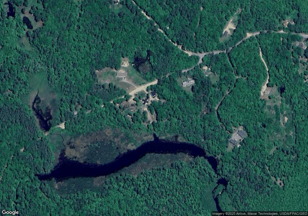
Map
Nearby Homes
- 22 Stonewall Dr
- 77 Holmes Rd
- 825 Second Crown Point Rd
- 301 Muchado Hill Rd
- 38 Chapelle Rd
- 956 N Barnstead Rd
- 479 Ten Rod Rd
- 152 Evans Rd
- 260 New Rd
- L68-2 Vail Rd
- L68-1 Vail Rd
- 109 Vail Rd
- 572 S Barnstead Rd
- 77 Vail Rd
- 8 Marshall Ln
- 24 Ragged Mountain Rd
- Lot 3 Ridge Rd
- 9 Nutter Cir
- 25 Vail Rd
- 0 Strafford Rd Unit 5057984
- 224 Little Niagara Rd
- 221 Little Niagara Rd
- 240 Little Niagara Rd
- 244 Little Niagara Rd
- 197 Little Niagara Rd
- 1270 1st Crown Point Rd
- 1245 1st Crown Point Rd
- 1293 1st Crown Point Rd
- 1238 1st Crown Point Rd
- 1294 1st Crown Point Rd
- 1231 1st Crown Point Rd
- 1305 1st Crown Point Rd
- 1226 1st Crown Point Rd
- 1226 1st Crown Point Rd
- 1225 1st Crown Point Rd
- 1319 1st Crown Point Rd
- 1316 1st Crown Point Rd
- 1316 1st Crown Point Rd
- 1206 1st Crown Point Rd
- 1207 1st Crown Point Rd