224 Main St Nicholson, PA 18446
Estimated Value: $176,196 - $245,000
4
Beds
2
Baths
1,946
Sq Ft
$112/Sq Ft
Est. Value
About This Home
This home is located at 224 Main St, Nicholson, PA 18446 and is currently estimated at $217,049, approximately $111 per square foot. 224 Main St is a home located in Wyoming County with nearby schools including Lackawanna Trail Elementary Center and Lackawanna Trail Junior/Senior High School.
Ownership History
Date
Name
Owned For
Owner Type
Purchase Details
Closed on
Aug 28, 2017
Sold by
Crossland Investment Properties Llc
Bought by
Davis Albert
Current Estimated Value
Home Financials for this Owner
Home Financials are based on the most recent Mortgage that was taken out on this home.
Original Mortgage
$111,550
Outstanding Balance
$93,152
Interest Rate
3.9%
Mortgage Type
New Conventional
Estimated Equity
$123,897
Purchase Details
Closed on
Dec 9, 2005
Sold by
Roberts Jeffrey L and Roberts Elizabeth
Bought by
Mcguigan Julie L
Create a Home Valuation Report for This Property
The Home Valuation Report is an in-depth analysis detailing your home's value as well as a comparison with similar homes in the area
Home Values in the Area
Average Home Value in this Area
Purchase History
| Date | Buyer | Sale Price | Title Company |
|---|---|---|---|
| Davis Albert | $115,000 | None Available | |
| Mcguigan Julie L | $105,000 | None Available |
Source: Public Records
Mortgage History
| Date | Status | Borrower | Loan Amount |
|---|---|---|---|
| Open | Davis Albert | $111,550 |
Source: Public Records
Tax History Compared to Growth
Tax History
| Year | Tax Paid | Tax Assessment Tax Assessment Total Assessment is a certain percentage of the fair market value that is determined by local assessors to be the total taxable value of land and additions on the property. | Land | Improvement |
|---|---|---|---|---|
| 2025 | $2,700 | $20,080 | $2,055 | $18,025 |
| 2024 | $2,699 | $20,080 | $2,055 | $18,025 |
| 2023 | $2,690 | $20,080 | $2,055 | $18,025 |
| 2022 | $2,700 | $20,080 | $2,055 | $18,025 |
| 2021 | $2,690 | $20,080 | $2,055 | $18,025 |
| 2020 | $2,735 | $20,080 | $2,055 | $18,025 |
| 2019 | $2,732 | $20,080 | $2,055 | $18,025 |
| 2018 | $2,658 | $20,080 | $2,055 | $18,025 |
| 2017 | $2,507 | $0 | $0 | $0 |
| 2016 | -- | $0 | $0 | $0 |
| 2015 | -- | $0 | $0 | $0 |
| 2014 | -- | $0 | $0 | $0 |
Source: Public Records
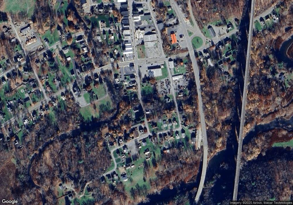
Map
Nearby Homes
- 289 Main St
- 70 State St
- 24 Oak St
- 672 Spencer Hill Rd
- 330 Pedrick Rd
- 307 Valley Ln
- 173 Pedrick Rd
- 135 Pedrick Rd
- 214 Lake Rd
- 145 Tunnel Rd
- 0 Lewis Unit GSBSC254197
- 180 Savage Rd
- 260 Baylors Lake Rd
- 0 Baylors Pond Rd Unit 25-4015
- 10 Bailey Rd
- 245 Fawn Ln
- 24 Duda Cir
- 159 Vail Rd
- 0 Us Highway 6 Unit 156424
- 144 Old Loggers Rd