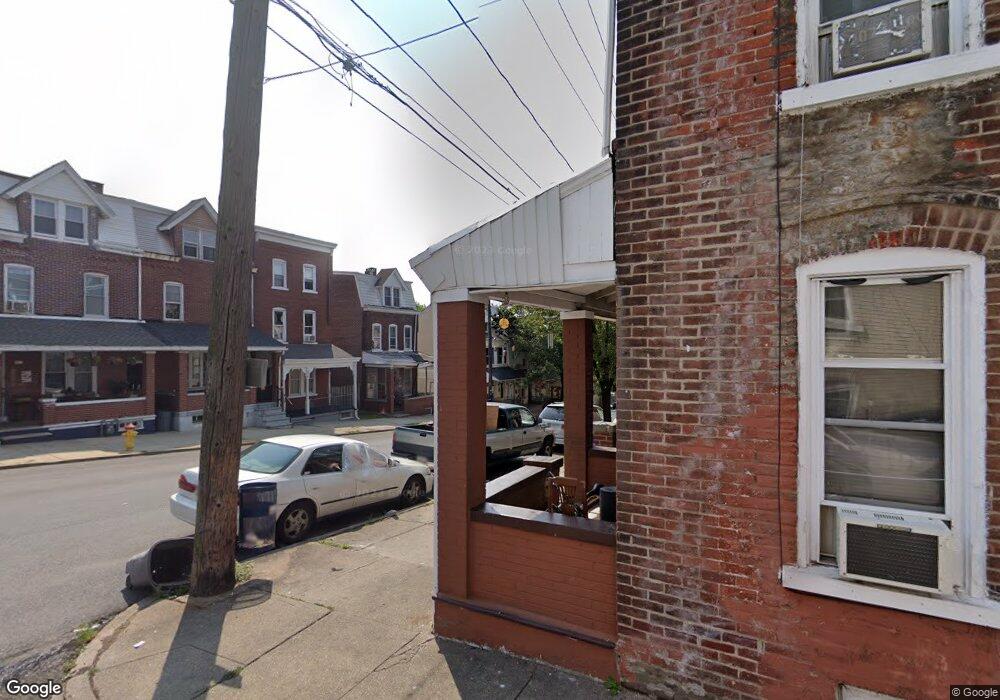
224 N West St Allentown, PA 18102
West Park Historic District NeighborhoodEstimated Value: $176,000 - $299,000
5
Beds
1
Bath
1,780
Sq Ft
$138/Sq Ft
Est. Value
About This Home
This home is located at 224 N West St, Allentown, PA 18102 and is currently estimated at $246,035, approximately $138 per square foot. 224 N West St is a home located in Lehigh County with nearby schools including Union Terrace Elementary School, Francis D Raub Middle School, and William Allen High School.
Ownership History
Date
Name
Owned For
Owner Type
Purchase Details
Closed on
Jul 20, 2011
Sold by
Federal National Mortgage Association
Bought by
Ballydesmond Homes Llc
Current Estimated Value
Purchase Details
Closed on
May 25, 2006
Sold by
Landi Gennaro and Landi Katie
Bought by
Landi Katie
Purchase Details
Closed on
Apr 30, 2003
Sold by
Zerfass Kerri D and Zerfass Derek L
Bought by
Landi Gennaro and Landi Katie
Home Financials for this Owner
Home Financials are based on the most recent Mortgage that was taken out on this home.
Original Mortgage
$86,500
Interest Rate
5.93%
Mortgage Type
Purchase Money Mortgage
Purchase Details
Closed on
Aug 20, 2001
Sold by
Zerfass Kenneth R and Zerfass Rachel A
Bought by
Vorholy Kerri D
Purchase Details
Closed on
Mar 24, 1998
Sold by
Kowatch Karl E
Bought by
Zerfass Kenneth R and Zerfass Rachel A
Create a Home Valuation Report for This Property
The Home Valuation Report is an in-depth analysis detailing your home's value as well as a comparison with similar homes in the area
Home Values in the Area
Average Home Value in this Area
Purchase History
| Date | Buyer | Sale Price | Title Company |
|---|---|---|---|
| Ballydesmond Homes Llc | $70,500 | -- | |
| Landi Katie | -- | Lsi | |
| Landi Gennaro | $97,000 | -- | |
| Vorholy Kerri D | $75,763 | -- | |
| Zerfass Kenneth R | $79,000 | -- |
Source: Public Records
Mortgage History
| Date | Status | Borrower | Loan Amount |
|---|---|---|---|
| Previous Owner | Landi Gennaro | $86,500 |
Source: Public Records
Tax History Compared to Growth
Tax History
| Year | Tax Paid | Tax Assessment Tax Assessment Total Assessment is a certain percentage of the fair market value that is determined by local assessors to be the total taxable value of land and additions on the property. | Land | Improvement |
|---|---|---|---|---|
| 2025 | $3,600 | $111,700 | $7,900 | $103,800 |
| 2024 | $3,600 | $111,700 | $7,900 | $103,800 |
| 2023 | $3,600 | $111,700 | $7,900 | $103,800 |
| 2022 | $3,472 | $111,700 | $103,800 | $7,900 |
| 2021 | $3,402 | $111,700 | $7,900 | $103,800 |
| 2020 | $3,313 | $111,700 | $7,900 | $103,800 |
| 2019 | $3,258 | $111,700 | $7,900 | $103,800 |
| 2018 | $3,046 | $111,700 | $7,900 | $103,800 |
| 2017 | $2,968 | $111,700 | $7,900 | $103,800 |
| 2016 | -- | $111,700 | $7,900 | $103,800 |
| 2015 | -- | $111,700 | $7,900 | $103,800 |
| 2014 | -- | $111,700 | $7,900 | $103,800 |
Source: Public Records
Map
Nearby Homes
- 1523 W Chew St
- 1501 W Chew St
- 1441 W Chew St
- 1840 W Turner St
- 1420 W Linden St
- 329 N Franklin St
- 39 S 17th St
- 1327-1331 W Chew St
- 128 S West St
- 19 S 14th St
- 42 N 13th St
- 217 N 13th St
- 1357 W Liberty St
- 24 N 13th St
- 134 S Franklin St
- 1616 W Tilghman St
- 1530 W Tilghman St
- 22 S 13th St
- 36 N Jefferson St
- 24 S 13th St