224 Pheasant Ridge Unit (Lot 210) Polson, MT 59860
Estimated Value: $272,000 - $373,000
--
Bed
--
Bath
--
Sq Ft
0.95
Acres
About This Home
This home is located at 224 Pheasant Ridge Unit (Lot 210), Polson, MT 59860 and is currently estimated at $322,500. 224 Pheasant Ridge Unit (Lot 210) is a home located in Lake County with nearby schools including Cherry Valley School, Linderman Elementary School, and Polson Middle School (7-8).
Ownership History
Date
Name
Owned For
Owner Type
Purchase Details
Closed on
Oct 28, 2020
Sold by
Colwell John and Colwell Linda
Bought by
Lanier Thomas K and Lanier Cristina M
Current Estimated Value
Home Financials for this Owner
Home Financials are based on the most recent Mortgage that was taken out on this home.
Original Mortgage
$82,125
Interest Rate
2.8%
Mortgage Type
New Conventional
Purchase Details
Closed on
Nov 16, 2006
Sold by
Northwest Holdings Llc
Bought by
Colwell John and Lewis Linda
Create a Home Valuation Report for This Property
The Home Valuation Report is an in-depth analysis detailing your home's value as well as a comparison with similar homes in the area
Home Values in the Area
Average Home Value in this Area
Purchase History
| Date | Buyer | Sale Price | Title Company |
|---|---|---|---|
| Lanier Thomas K | -- | None Available | |
| Colwell John | -- | None Available |
Source: Public Records
Mortgage History
| Date | Status | Borrower | Loan Amount |
|---|---|---|---|
| Closed | Lanier Thomas K | $82,125 |
Source: Public Records
Tax History Compared to Growth
Tax History
| Year | Tax Paid | Tax Assessment Tax Assessment Total Assessment is a certain percentage of the fair market value that is determined by local assessors to be the total taxable value of land and additions on the property. | Land | Improvement |
|---|---|---|---|---|
| 2025 | $4,932 | $161,539 | $0 | $0 |
| 2024 | $998 | $127,010 | $0 | $0 |
| 2023 | $926 | $127,010 | $0 | $0 |
| 2022 | $864 | $100,696 | $0 | $0 |
| 2021 | $958 | $100,696 | $0 | $0 |
| 2020 | $640 | $67,146 | $0 | $0 |
| 2019 | $649 | $67,146 | $0 | $0 |
| 2018 | $923 | $96,497 | $0 | $0 |
| 2017 | $902 | $96,497 | $0 | $0 |
| 2016 | $1,326 | $141,574 | $0 | $0 |
| 2015 | $1,274 | $141,574 | $0 | $0 |
| 2014 | -- | $113,082 | $0 | $0 |
Source: Public Records
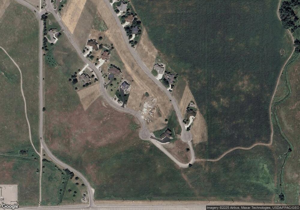
Map
Nearby Homes
- 227 Pheasant Ridge
- 213 Pheasant Ridge
- 116 Red Tail Rd
- 212 Pheasant Ridge Ln
- 372 Hawk Dr
- 102 Marias St
- 100 Reliance Landing
- 525 Hawk Dr
- Nhn Tundra Swan Way
- 189 Pheasant Ridge
- LOT 34 Tundra Swan Way
- 36184 Caroline Ln
- 294 Montana Landing
- nhn Hawk Dr
- Lot #7 View Areas Dr
- 107 Kari Ln
- 140 Kari Ln
- 403 White Fox Run
- 205 Shawnee Ln
- 207 Shawnee Ln
- 224 Pheasant Ridge
- LOT 208 Pheasant Ridge
- 222 Pheasant Ridge
- 0 Pheasant Ridge Unit 283257
- 110 Red Tail Rd
- 105 Red Tail Rd
- 117 Red Tail Rd
- 103 Red Tail Rd
- 228 Pheasant Ridge Unit Lot 212
- 228 Pheasant Ridge (Lot 212)
- 228 Pheasant Ridge Ln Unit Lot 212
- 228 Pheasant Ridge Ln
- 228 Pheasant Ridge
- 232 Red Tail Rd Unit (Lot 116)
- 232 Red Tail Rd
- 230 Red Tail Rd
- 220 Pheasant Ridge Rd
- 220 Pheasant Ridge Ln
- 220 Pheasant Ridge Unit (Lot 208)
- 220 Pheasant Ridge