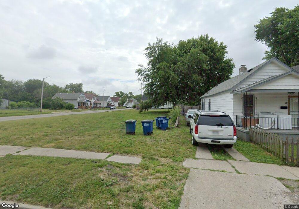
224 Pulaski St Toledo, OH 43607
ONYX Neighborhood
--
Bed
1
Bath
--
Sq Ft
3,615
Sq Ft Lot
About This Home
This home is located at 224 Pulaski St, Toledo, OH 43607. 224 Pulaski St is a home located in Lucas County with nearby schools including Pickett Elementary School, Jesup W. Scott High School, and Explorers Academy.
Ownership History
Date
Name
Owned For
Owner Type
Purchase Details
Closed on
Dec 5, 2018
Sold by
Lucas County Land Reutilization Corporat
Bought by
City Of Toledo
Purchase Details
Closed on
Aug 14, 2014
Sold by
Williams Twanda Denise
Bought by
Lucas County Land Reutilization Corp
Purchase Details
Closed on
Jul 27, 1993
Purchase Details
Closed on
Jul 9, 1993
Sold by
Ulmer John
Purchase Details
Closed on
Dec 12, 1991
Sold by
Ziegler Martha
Create a Home Valuation Report for This Property
The Home Valuation Report is an in-depth analysis detailing your home's value as well as a comparison with similar homes in the area
Home Values in the Area
Average Home Value in this Area
Purchase History
| Date | Buyer | Sale Price | Title Company |
|---|---|---|---|
| City Of Toledo | -- | None Available | |
| Lucas County Land Reutilization Corp | -- | None Available | |
| -- | $6,900 | -- | |
| -- | $3,400 | -- | |
| -- | $5,500 | -- |
Source: Public Records
Tax History Compared to Growth
Tax History
| Year | Tax Paid | Tax Assessment Tax Assessment Total Assessment is a certain percentage of the fair market value that is determined by local assessors to be the total taxable value of land and additions on the property. | Land | Improvement |
|---|---|---|---|---|
| 2024 | -- | $140 | $140 | -- |
| 2023 | $0 | $105 | $105 | $0 |
| 2022 | $0 | $105 | $105 | $0 |
| 2021 | $0 | $105 | $105 | $0 |
| 2020 | $0 | $105 | $105 | $0 |
| 2019 | $0 | $105 | $105 | $0 |
| 2018 | $0 | $105 | $105 | $0 |
| 2017 | $0 | $105 | $105 | $0 |
| 2016 | $0 | $300 | $300 | $0 |
| 2015 | $109 | $18,200 | $3,100 | $15,100 |
| 2014 | $619 | $6,380 | $1,090 | $5,290 |
| 2013 | $412 | $6,380 | $1,090 | $5,290 |
Source: Public Records
Map
Nearby Homes
- 1518 Buckingham St
- 1422 Tecumseh St
- 1434 Nebraska Ave
- 1267 Nebraska Ave
- 1255 Nebraska Ave
- 635 N Detroit Ave
- 834 N Detroit Ave
- 1123 Hamilton St
- 901 N Detroit Ave
- 1133 Blum St
- 213 Dale St
- 323 Champion St
- 145 Whiting Ave
- 140 Whiting Ave
- 144 Whiting Ave
- 605 Waverly Ave
- 1266 Western Ave
- 131 S Detroit Ave
- 1754 Finch St
- 109 Wellington St
- 222 Pulaski St
- 218 Pulaski St
- 1501 Buckingham St
- 302 Pulaski St
- 1443 Buckingham St
- 1460 Campbell St
- 217 Pulaski St
- 217 Pulaski St
- 1454 Campbell St
- 1450 Campbell St
- 1441 Buckingham St
- 308 Pulaski St
- 211 Pulaski St
- 1444 Buckingham St
- 1437 Buckingham St
- 207 Pulaski St
- 312 Pulaski St
- 1442 Buckingham St
- 1433 Buckingham St
- 1438 Buckingham St