224 Quail Dr Montrose, MN 55363
Estimated Value: $327,001 - $356,000
4
Beds
2
Baths
1,216
Sq Ft
$277/Sq Ft
Est. Value
About This Home
This home is located at 224 Quail Dr, Montrose, MN 55363 and is currently estimated at $336,750, approximately $276 per square foot. 224 Quail Dr is a home located in Wright County with nearby schools including Montrose Elementary School, Buffalo Community Middle School, and Buffalo Senior High School.
Ownership History
Date
Name
Owned For
Owner Type
Purchase Details
Closed on
Jul 30, 2018
Sold by
Kodesh Aaron A and Kodesh Erin M
Bought by
Gupta Vineet and Gupta Jamie
Current Estimated Value
Home Financials for this Owner
Home Financials are based on the most recent Mortgage that was taken out on this home.
Original Mortgage
$218,405
Outstanding Balance
$190,090
Interest Rate
4.6%
Mortgage Type
New Conventional
Estimated Equity
$146,660
Purchase Details
Closed on
Jul 29, 2008
Sold by
Hud
Bought by
Kodesh Aaron Augustine and Kodesh Erin Michelle
Purchase Details
Closed on
Jan 30, 2004
Sold by
Key-Land Homes
Bought by
Miller Michael R and Miller Joan E
Purchase Details
Closed on
Sep 6, 2002
Sold by
Trison Development Inc
Bought by
Millennuim Homes Inc
Purchase Details
Closed on
Jan 28, 2002
Sold by
Trison Development Inc
Bought by
Key-Land Homes
Create a Home Valuation Report for This Property
The Home Valuation Report is an in-depth analysis detailing your home's value as well as a comparison with similar homes in the area
Home Values in the Area
Average Home Value in this Area
Purchase History
| Date | Buyer | Sale Price | Title Company |
|---|---|---|---|
| Gupta Vineet | $229,900 | Watermark Title Agcy Qualia | |
| Kodesh Aaron Augustine | $150,100 | -- | |
| Miller Michael R | $195,000 | -- | |
| Millennuim Homes Inc | $34,000 | -- | |
| Key-Land Homes | $62,000 | -- |
Source: Public Records
Mortgage History
| Date | Status | Borrower | Loan Amount |
|---|---|---|---|
| Open | Gupta Vineet | $218,405 |
Source: Public Records
Tax History Compared to Growth
Tax History
| Year | Tax Paid | Tax Assessment Tax Assessment Total Assessment is a certain percentage of the fair market value that is determined by local assessors to be the total taxable value of land and additions on the property. | Land | Improvement |
|---|---|---|---|---|
| 2025 | $3,780 | $310,800 | $65,000 | $245,800 |
| 2024 | $3,714 | $305,600 | $65,000 | $240,600 |
| 2023 | $3,566 | $327,700 | $81,000 | $246,700 |
| 2022 | $3,446 | $291,100 | $72,000 | $219,100 |
| 2021 | $3,380 | $244,700 | $40,000 | $204,700 |
| 2020 | $3,164 | $235,200 | $40,000 | $195,200 |
| 2019 | $2,806 | $217,400 | $0 | $0 |
| 2018 | $2,784 | $198,700 | $0 | $0 |
| 2017 | $2,548 | $184,900 | $0 | $0 |
| 2016 | $2,162 | $0 | $0 | $0 |
| 2015 | $2,116 | $0 | $0 | $0 |
| 2014 | -- | $0 | $0 | $0 |
Source: Public Records
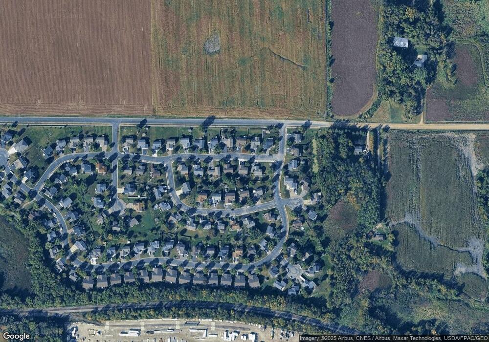
Map
Nearby Homes
- 137 Pheasant Ridge Dr
- 150 Pheasant Ridge Dr
- 426 Dillon Ave N
- 149 Mindy Ln
- 161 Mindy Ln Unit 9
- 301 Center Ave S
- 610 Emerson Ave N
- 703 7th St N
- 726 7th St N
- 517 2nd St S
- 305 Garfield Ave S
- 643 Fieldcrest Ave N
- 684 Aspen Ln
- 935 Aspen Ln
- 645 Fieldcrest Ave N
- 690 Aspen Ln
- 683 Aspen Ln
- 692 Aspen Ln
- 685 Aspen Ln
- 687 Aspen Ln
- 222 Quail Dr
- 226 Quail Dr
- 209 Ringneck Dr
- 211 Ringneck Dr
- 207 Ringneck Dr
- 220 Quail Dr
- 227 Quail Dr
- 229 Quail Dr
- 205 Ringneck Dr
- 225 Quail Dr
- 231 Quail Dr
- 223 Quail Dr
- 218 Quail Dr
- 203 Ringneck Dr
- 251 Ringneck Cir
- 286 Pheasant Ridge Dr
- 199 Pheasant Ridge Dr
- 214 Ringneck Dr
- 221 Quail Dr
- 288 Pheasant Ridge Dr