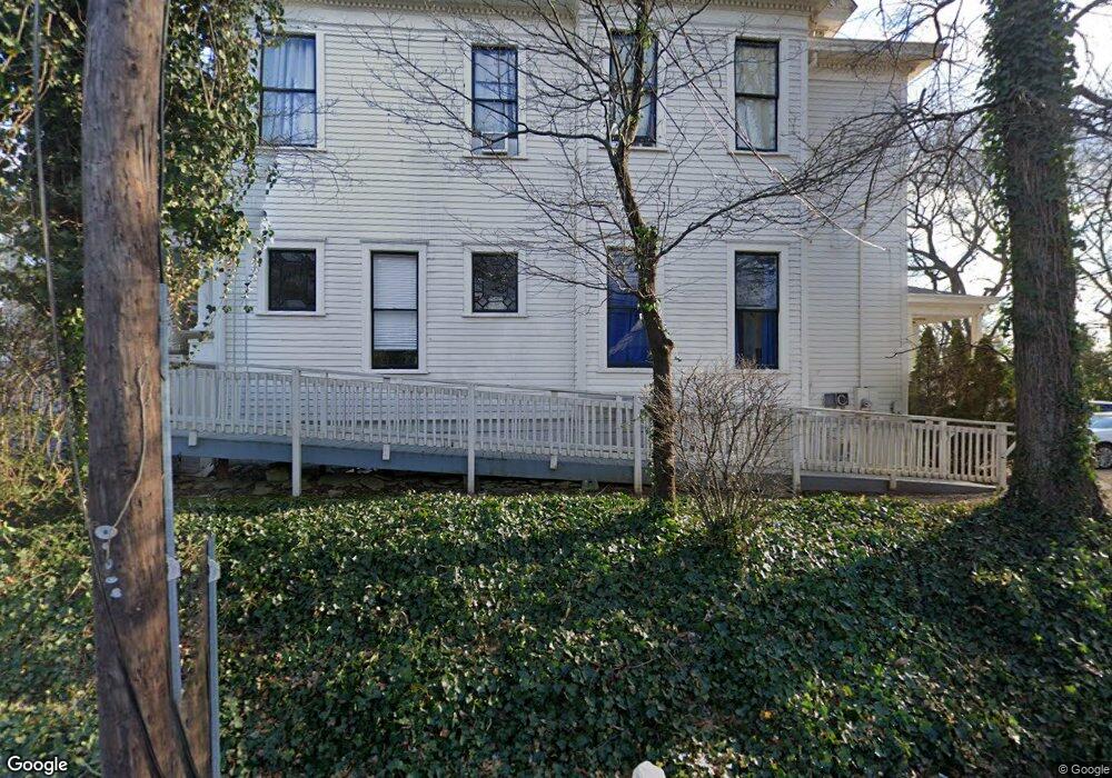
224 S Milledge Ave Athens, GA 30605
Milledge Avenue Historic District NeighborhoodEstimated Value: $1,663,000 - $1,779,000
6
Beds
4
Baths
5,659
Sq Ft
$302/Sq Ft
Est. Value
About This Home
This home is located at 224 S Milledge Ave, Athens, GA 30605 and is currently estimated at $1,707,813, approximately $301 per square foot. 224 S Milledge Ave is a home located in Clarke County with nearby schools including Bettye Henderson Holston Elementary School, Clarke Middle School, and Clarke Central High School.
Ownership History
Date
Name
Owned For
Owner Type
Purchase Details
Closed on
Jun 29, 1999
Sold by
Kushner Aaron B
Bought by
Epsilon Of Beta Theta Pi Housing Corp
Current Estimated Value
Purchase Details
Closed on
Mar 25, 1999
Sold by
Green Jennie D
Bought by
Kushner Aaron B
Purchase Details
Closed on
Sep 30, 1996
Sold by
Cumming Elizabeth Mrs
Bought by
Green Jennie D
Create a Home Valuation Report for This Property
The Home Valuation Report is an in-depth analysis detailing your home's value as well as a comparison with similar homes in the area
Home Values in the Area
Average Home Value in this Area
Purchase History
| Date | Buyer | Sale Price | Title Company |
|---|---|---|---|
| Epsilon Of Beta Theta Pi Housing Corp | $553,000 | -- | |
| Kushner Aaron B | $499,000 | -- | |
| Green Jennie D | $230,000 | -- |
Source: Public Records
Tax History Compared to Growth
Tax History
| Year | Tax Paid | Tax Assessment Tax Assessment Total Assessment is a certain percentage of the fair market value that is determined by local assessors to be the total taxable value of land and additions on the property. | Land | Improvement |
|---|---|---|---|---|
| 2025 | $17,331 | $558,163 | $195,200 | $362,963 |
| 2024 | $17,331 | $535,897 | $195,200 | $340,697 |
| 2023 | $16,747 | $452,040 | $195,200 | $256,840 |
| 2022 | $10,786 | $338,127 | $170,800 | $167,327 |
| 2021 | $10,304 | $305,767 | $170,800 | $134,967 |
| 2020 | $9,850 | $292,270 | $170,800 | $121,470 |
| 2019 | $9,923 | $292,270 | $170,800 | $121,470 |
| 2018 | $10,053 | $296,126 | $170,800 | $125,326 |
| 2017 | $9,664 | $284,650 | $170,800 | $113,850 |
| 2016 | $9,664 | $284,649 | $170,800 | $113,849 |
| 2015 | $9,678 | $284,649 | $170,800 | $113,849 |
| 2014 | $10,065 | $295,586 | $170,800 | $124,786 |
Source: Public Records
Map
Nearby Homes
- 500 Dearing St Unit 6
- 597 Dearing St
- 1226 W Broad St
- 365 S Church St Unit 1A, 1B, 1C
- 1198 W West Hancock Ave W
- 1196 W Hancock Ave Unit 1
- 494 Baxter St Unit 32
- 480 N Billups St
- 468 N Milledge Ave Unit 203
- 255 Bloomfield St
- 257 Hill St
- 1398 W Hancock Ave
- 338 Springdale St
- 265 Springdale St
- 552 Cobb St
- 570 Prince Ave
- 50 Springdale St
- 250 W Broad St Unit 811
- 250 W Broad St Unit 521
- 250 W Broad St Unit 408
- 210 S Milledge Ave
- 188 S Milledge Ave
- 188 S Milledge Ave
- 250 S Milledge Ave
- 500 Dearing St Unit 5
- 500 Dearing St Unit 3
- 500 Dearing St Unit 1
- 500 Dearing St Unit 2
- 500 Dearing St
- 500 Dearing St
- 500 Dearing St
- 500 Dearing St
- 500 Dearing St
- 500 Dearing St
- 500 Dearing St Unit 4
- 4 Dearing St Unit ID1335911P
- 150 S Milledge Ave
- 197 S Milledge Ave
- 290 S Milledge Ave
- 247 S Milledge Ave