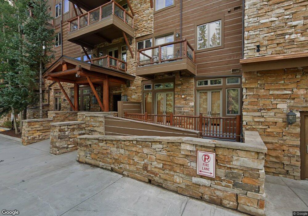
224 Trail Head Trail Dillon, CO 80435
Keystone NeighborhoodEstimated Value: $1,419,000 - $1,872,000
2
Beds
3
Baths
1,373
Sq Ft
$1,199/Sq Ft
Est. Value
About This Home
This home is located at 224 Trail Head Trail, Dillon, CO 80435 and is currently estimated at $1,645,634, approximately $1,198 per square foot. 224 Trail Head Trail is a home located in Summit County with nearby schools including Summit Cove Elementary School, Summit Middle School, and Summit High School.
Ownership History
Date
Name
Owned For
Owner Type
Purchase Details
Closed on
Nov 22, 2022
Sold by
Fuller Patrick N
Bought by
Fuller Family Partnership Llc
Current Estimated Value
Purchase Details
Closed on
Mar 21, 2008
Sold by
Lovelace Don and Lovelace Patty
Bought by
Fuller Patrick N and Fuller Christine A
Home Financials for this Owner
Home Financials are based on the most recent Mortgage that was taken out on this home.
Original Mortgage
$703,200
Interest Rate
5%
Mortgage Type
Adjustable Rate Mortgage/ARM
Create a Home Valuation Report for This Property
The Home Valuation Report is an in-depth analysis detailing your home's value as well as a comparison with similar homes in the area
Home Values in the Area
Average Home Value in this Area
Purchase History
| Date | Buyer | Sale Price | Title Company |
|---|---|---|---|
| Fuller Family Partnership Llc | $1,075,000 | -- | |
| Fuller Patrick N | $879,000 | Land Title Guarantee Company |
Source: Public Records
Mortgage History
| Date | Status | Borrower | Loan Amount |
|---|---|---|---|
| Previous Owner | Fuller Patrick N | $703,200 |
Source: Public Records
Tax History Compared to Growth
Tax History
| Year | Tax Paid | Tax Assessment Tax Assessment Total Assessment is a certain percentage of the fair market value that is determined by local assessors to be the total taxable value of land and additions on the property. | Land | Improvement |
|---|---|---|---|---|
| 2024 | $6,259 | $119,541 | -- | $119,541 |
| 2023 | $6,259 | $115,856 | $0 | $0 |
| 2022 | $5,007 | $87,633 | $0 | $0 |
| 2021 | $5,051 | $90,154 | $0 | $0 |
| 2020 | $3,642 | $69,455 | $0 | $0 |
| 2019 | $3,592 | $69,455 | $0 | $0 |
| 2018 | $2,672 | $50,052 | $0 | $0 |
| 2017 | $2,444 | $50,052 | $0 | $0 |
| 2016 | $2,643 | $53,322 | $0 | $0 |
| 2015 | $2,560 | $53,322 | $0 | $0 |
| 2014 | $2,614 | $53,749 | $0 | $0 |
| 2013 | -- | $53,749 | $0 | $0 |
Source: Public Records
Map
Nearby Homes
- 624 Montezuma Rd Unit C-3
- 624 Montezuma Rd Unit D-2
- 624 Montezuma Rd Unit B-3
- 624 Montezuma Rd Unit A-1
- 624 Montezuma Rd Unit B-4
- 624 Montezuma Rd Unit A-4
- 628 Montezuma Rd Unit D-3
- 628 Montezuma Rd Unit D-1
- 628 Montezuma Rd Unit D-2
- 632 Montezuma Rd Unit C-1
- 632 Montezuma Rd Unit C-2
- 616 Montezuma Rd Unit A-2
- 616 Montezuma Rd Unit C-3
- 616 Montezuma Rd Unit A-3
- 616 Montezuma Rd Unit A-1
- 620 Montezuma Rd Unit B-2
- 620 Montezuma Rd Unit B-1
- 620 Montezuma Rd Unit B-3
- 15 Hawk Cir
- 0736 Independence Rd Unit 4B
- 224 Trail Head Trail
- 224 Trail Head Trail
- 224 Trail Head Trail
- 224 Trail Head Trail
- 224 Trail Head Trail
- 224 Trail Head Trail
- 224 Trail Head Trail
- 224 Trail Head Trail
- 224 Trail Head Trail
- 224 Trail Head Trail
- 224 Trail Head Trail
- 224 Trail Head Trail
- 224 Trail Head Trail
- 224 Trail Head Trail
- 224 Trail Head Trail
- 224 Trail Head Trail
- 224 Trail Head Trail
- 224 Trail Head Trail
- 224 Trail Head Trail
- 224 Trail Head Trail