2240 Railroad Hwy Council Bluffs, IA 51503
Sherwood NeighborhoodEstimated Value: $263,000 - $464,000
3
Beds
3
Baths
2,142
Sq Ft
$175/Sq Ft
Est. Value
About This Home
This home is located at 2240 Railroad Hwy, Council Bluffs, IA 51503 and is currently estimated at $375,327, approximately $175 per square foot. 2240 Railroad Hwy is a home with nearby schools including College View Elementary School, Gerald W. Kirn Middle School, and Abraham Lincoln High School.
Ownership History
Date
Name
Owned For
Owner Type
Purchase Details
Closed on
Oct 4, 2024
Sold by
Rapaich John R and Rapaich Cindy
Bought by
Rapaich John R and Rapaich Cindy
Current Estimated Value
Purchase Details
Closed on
Jan 2, 2019
Sold by
Anderson Virgil D and Anderson Virginia M
Bought by
Big V Rentals Llc
Purchase Details
Closed on
Sep 10, 2007
Sold by
Ranney Joseph W and Ranney Shirley F
Bought by
Anderson Virgil D
Purchase Details
Closed on
Aug 15, 2005
Sold by
Ranney Joseph W and Ranney Joe W
Bought by
Ranney Joseph W and Schmidt Shirley F
Create a Home Valuation Report for This Property
The Home Valuation Report is an in-depth analysis detailing your home's value as well as a comparison with similar homes in the area
Home Values in the Area
Average Home Value in this Area
Purchase History
| Date | Buyer | Sale Price | Title Company |
|---|---|---|---|
| Rapaich John R | -- | None Listed On Document | |
| Big V Rentals Llc | -- | None Available | |
| Anderson Virgil D | $575,000 | None Available | |
| Ranney Joseph W | -- | None Available |
Source: Public Records
Tax History Compared to Growth
Tax History
| Year | Tax Paid | Tax Assessment Tax Assessment Total Assessment is a certain percentage of the fair market value that is determined by local assessors to be the total taxable value of land and additions on the property. | Land | Improvement |
|---|---|---|---|---|
| 2025 | $6,950 | $383,000 | $92,100 | $290,900 |
| 2024 | $6,950 | $345,100 | $80,100 | $265,000 |
| 2023 | $7,165 | $345,100 | $80,100 | $265,000 |
| 2022 | $7,550 | $317,100 | $67,300 | $249,800 |
| 2021 | $11,096 | $317,100 | $67,300 | $249,800 |
| 2020 | $6,853 | $292,800 | $65,700 | $227,100 |
| 2019 | $7,141 | $274,900 | $56,620 | $218,280 |
| 2018 | $7,043 | $274,900 | $56,620 | $218,280 |
| 2017 | $7,035 | $274,900 | $56,620 | $218,280 |
| 2015 | $7,069 | $274,900 | $56,620 | $218,280 |
| 2014 | $7,057 | $274,900 | $56,620 | $218,280 |
Source: Public Records
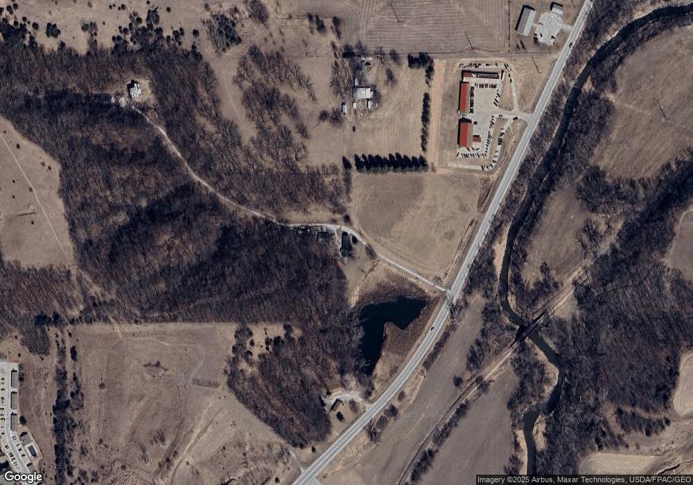
Map
Nearby Homes
- 1.12 AC Railroad Ave & Hwy 6
- 944 Mckenzie Ave
- 638 Simms Ave
- 37 Indian Hills Rd
- 605 Ridge Rd N
- 627 Spencer Ave
- 1778 Jennings Ave
- 440 Simms Ave
- 415 Midland Dr
- 407 Spencer Ave
- 401 Spencer Ave
- 269 Elmwood Dr
- 162 N Linden Ave
- 155 S Linden Ave
- 212 Highland Dr
- 116 Spencer Ave
- 118 Euclid Ave
- 1426 Mcpherson Ave
- 222 Locust Lodge Ave
- 18843 Evergreen Ln
- 122 Paige Ln
- 144 Paige Ln
- 148 Paige Ln
- 126 Paige Ln
- 2336 Railroad Hwy
- 2130 Railroad Hwy
- 2130 Railroad Hwy
- 2330 Railroad Hwy
- 2246 Railroad Hwy
- 2612 Birdsley Rd
- 2614 Birdsley Rd
- 4.76 AC State Highway 191
- 2510 Birdsley Rd
- 2730 E Kanesville Blvd
- 2504 Birdsley Rd
- 2704 E Kanesville Blvd
- 2704 E Kanesville Blvd
- 2722 E Kanesville Blvd
- 2704 Birdsley Rd
- LOT 3 Eastgate Dr