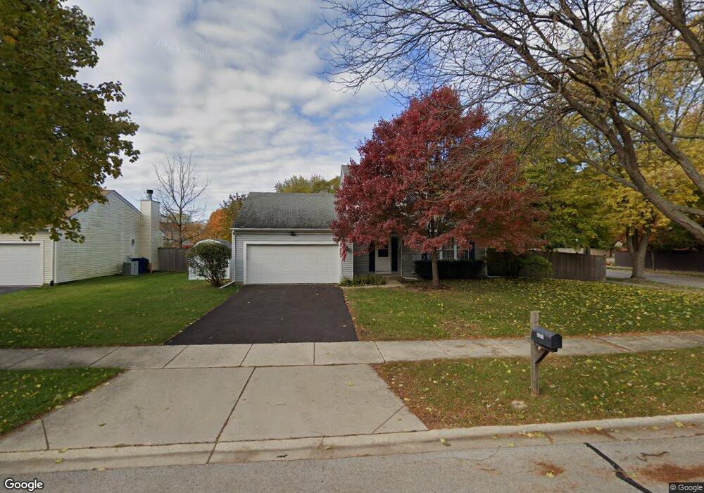
2241 Pontiac Cir Naperville, IL 60565
Old Farm NeighborhoodEstimated Value: $436,000 - $532,000
3
Beds
3
Baths
1,792
Sq Ft
$271/Sq Ft
Est. Value
About This Home
This home is located at 2241 Pontiac Cir, Naperville, IL 60565 and is currently estimated at $486,408, approximately $271 per square foot. 2241 Pontiac Cir is a home located in Will County with nearby schools including Kingsley Elementary School, Lincoln Jr. High School, and Naperville Central High School.
Ownership History
Date
Name
Owned For
Owner Type
Purchase Details
Closed on
Aug 22, 2011
Sold by
Molis Kimberly A and Molis Ted A
Bought by
Lyon Richard E and Lyon Mary C
Current Estimated Value
Home Financials for this Owner
Home Financials are based on the most recent Mortgage that was taken out on this home.
Original Mortgage
$219,881
Interest Rate
4.08%
Mortgage Type
FHA
Purchase Details
Closed on
Jul 15, 1993
Bought by
Lyon Richard E M
Create a Home Valuation Report for This Property
The Home Valuation Report is an in-depth analysis detailing your home's value as well as a comparison with similar homes in the area
Home Values in the Area
Average Home Value in this Area
Purchase History
| Date | Buyer | Sale Price | Title Company |
|---|---|---|---|
| Lyon Richard E | $225,600 | Burnet Title | |
| Lyon Richard E M | $152,000 | -- |
Source: Public Records
Mortgage History
| Date | Status | Borrower | Loan Amount |
|---|---|---|---|
| Previous Owner | Lyon Richard E | $219,881 |
Source: Public Records
Tax History Compared to Growth
Tax History
| Year | Tax Paid | Tax Assessment Tax Assessment Total Assessment is a certain percentage of the fair market value that is determined by local assessors to be the total taxable value of land and additions on the property. | Land | Improvement |
|---|---|---|---|---|
| 2024 | $7,680 | $135,041 | $40,247 | $94,794 |
| 2023 | $7,680 | $121,505 | $36,213 | $85,292 |
| 2022 | $7,290 | $121,714 | $36,275 | $85,439 |
| 2021 | $7,076 | $113,805 | $33,918 | $79,887 |
| 2020 | $6,793 | $110,063 | $32,803 | $77,260 |
| 2019 | $6,537 | $104,822 | $31,241 | $73,581 |
| 2018 | $6,551 | $100,127 | $29,901 | $70,226 |
| 2017 | $6,300 | $94,907 | $28,342 | $66,565 |
| 2016 | $6,419 | $95,100 | $28,400 | $66,700 |
| 2015 | $6,306 | $96,000 | $28,700 | $67,300 |
| 2014 | $6,306 | $96,000 | $28,700 | $67,300 |
| 2013 | $6,306 | $88,000 | $26,300 | $61,700 |
Source: Public Records
Map
Nearby Homes
- 2167 Countryside Cir
- 343 Danbury Dr Unit 6B
- 2337 Worthing Dr Unit 102A
- 284 Westbrook Cir
- 221 Hampshire Ct Unit 201D
- 445 Travelaire Ave
- 2132 Berkley Ct Unit 201A
- 2471 Kingsley Dr
- 47 Glencoe Ct Unit 102D
- 23 Glencoe Ct Unit 202B
- 1921 Wisteria Ct Unit 3
- 2206 Gleneagles Dr
- 2279 Kaskaskia Ct
- 36 Oak Bluff Ct
- 2734 Alyssa Dr
- 51 Ford Ln
- 2421 River Woods Dr
- 2276 Kaskaskia Ct
- 44 Oak Bluff Ct
- 2509 Brockton Cir
- 2237 Pontiac Cir
- 2245 Pontiac Cir Unit 3C
- 2240 Pontiac Cir
- 2204 Woodland Cir
- 2208 Woodland Cir
- 2244 Pontiac Cir
- 315 Meadow Green Dr
- 270 Pebblestone Rd
- 2212 Woodland Cir
- 2229 Pontiac Cir
- 2249 Pontiac Cir
- 2256 Pontiac Cir
- 323 Meadow Green Dr
- 2216 Woodland Cir
- 271 Pebblestone Rd
- 266 Pebblestone Rd
- 2226 Pontiac Cir
- 2225 Pontiac Cir
- 2253 Pontiac Cir Unit 3C
- 2265 Pontiac Cir