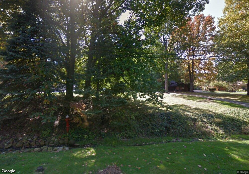
22410 Harms Rd Cleveland, OH 44143
Estimated Value: $207,000 - $235,000
3
Beds
3
Baths
1,344
Sq Ft
$167/Sq Ft
Est. Value
About This Home
This home is located at 22410 Harms Rd, Cleveland, OH 44143 and is currently estimated at $223,866, approximately $166 per square foot. 22410 Harms Rd is a home located in Cuyahoga County with nearby schools including Richmond Heights Elementary School, Richmond Heights Secondary School, and Flex High School Cleveland.
Ownership History
Date
Name
Owned For
Owner Type
Purchase Details
Closed on
Feb 23, 2024
Sold by
Barry Jill M
Bought by
Reed Mona L
Current Estimated Value
Purchase Details
Closed on
Dec 22, 2011
Sold by
Petersen Donna M and Petersen Susanne
Bought by
Reed Mona L and Barry Jill M
Purchase Details
Closed on
Aug 16, 1988
Sold by
Petersen Charles E
Bought by
Petersen Alice F
Purchase Details
Closed on
Mar 27, 1985
Sold by
Petersen Chas E and Petersen Alice F
Bought by
Petersen Charles E
Purchase Details
Closed on
Jan 1, 1975
Bought by
Petersen Chas E and Petersen Alice F
Create a Home Valuation Report for This Property
The Home Valuation Report is an in-depth analysis detailing your home's value as well as a comparison with similar homes in the area
Home Values in the Area
Average Home Value in this Area
Purchase History
| Date | Buyer | Sale Price | Title Company |
|---|---|---|---|
| Reed Mona L | -- | None Listed On Document | |
| Reed Mona L | $125,000 | Title Support Services Lt | |
| Petersen Alice F | -- | -- | |
| Petersen Charles E | -- | -- | |
| Petersen Chas E | -- | -- |
Source: Public Records
Tax History Compared to Growth
Tax History
| Year | Tax Paid | Tax Assessment Tax Assessment Total Assessment is a certain percentage of the fair market value that is determined by local assessors to be the total taxable value of land and additions on the property. | Land | Improvement |
|---|---|---|---|---|
| 2024 | $5,180 | $68,250 | $15,610 | $52,640 |
| 2023 | $4,935 | $53,380 | $14,700 | $38,680 |
| 2022 | $4,897 | $53,375 | $14,700 | $38,675 |
| 2021 | $4,875 | $53,380 | $14,700 | $38,680 |
| 2020 | $4,387 | $43,750 | $12,040 | $31,710 |
| 2019 | $4,322 | $125,000 | $34,400 | $90,600 |
| 2018 | $3,976 | $43,750 | $12,040 | $31,710 |
| 2017 | $4,184 | $40,290 | $25,590 | $14,700 |
| 2016 | $3,668 | $40,290 | $25,590 | $14,700 |
| 2015 | $3,578 | $40,290 | $25,590 | $14,700 |
| 2014 | $3,578 | $39,490 | $25,100 | $14,390 |
Source: Public Records
Map
Nearby Homes
- 22601 Harms Rd
- 24 Washington Square
- 2084 E 224th St
- 22151 Hadden Rd
- 2075 E 226th St
- 2545 Hilltop Rd
- 237 Greenbriar Ct Unit F237
- 2010 E 221st St
- 1997 E 226th St
- 24801 Highland Rd
- 1860 Glenridge Rd
- 20130 Green Oak Dr
- 1809 Pontiac Dr
- 509 Forsythia Ln
- 1721 Grand Blvd
- 1765 E 238th St
- 467 Harris Rd
- 1780 Sagamore Dr
- 21950 Euclid Ave
- 502 Jeannette Dr
