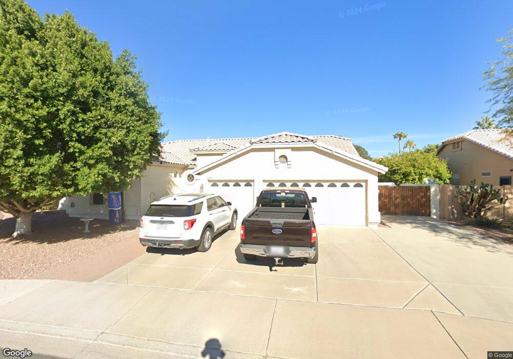
2242 E Randall Rd Gilbert, AZ 85296
East Gilbert NeighborhoodEstimated Value: $622,488 - $690,000
Studio
3
Baths
2,238
Sq Ft
$294/Sq Ft
Est. Value
About This Home
This home is located at 2242 E Randall Rd, Gilbert, AZ 85296 and is currently estimated at $658,622, approximately $294 per square foot. 2242 E Randall Rd is a home located in Maricopa County with nearby schools including Finley Farms Elementary School, Greenfield Junior High School, and Gilbert Arts Academy.
Ownership History
Date
Name
Owned For
Owner Type
Purchase Details
Closed on
Oct 30, 1996
Sold by
Jackson Properties Inc
Bought by
Parisi Charles J and Parisi Suzanne M
Current Estimated Value
Home Financials for this Owner
Home Financials are based on the most recent Mortgage that was taken out on this home.
Original Mortgage
$153,964
Interest Rate
7.91%
Mortgage Type
Seller Take Back
Create a Home Valuation Report for This Property
The Home Valuation Report is an in-depth analysis detailing your home's value as well as a comparison with similar homes in the area
Home Values in the Area
Average Home Value in this Area
Purchase History
| Date | Buyer | Sale Price | Title Company |
|---|---|---|---|
| Parisi Charles J | $187,877 | Stewart Title & Trust | |
| Jackson Properties Inc | -- | Stewart Title & Trust |
Source: Public Records
Mortgage History
| Date | Status | Borrower | Loan Amount |
|---|---|---|---|
| Closed | Parisi Charles J | $153,964 | |
| Closed | Parisi Charles J | $138,770 |
Source: Public Records
Tax History
| Year | Tax Paid | Tax Assessment Tax Assessment Total Assessment is a certain percentage of the fair market value that is determined by local assessors to be the total taxable value of land and additions on the property. | Land | Improvement |
|---|---|---|---|---|
| 2025 | $2,941 | $31,852 | -- | -- |
| 2024 | $2,842 | $30,335 | -- | -- |
| 2023 | $2,842 | $48,450 | $9,690 | $38,760 |
| 2022 | $2,762 | $37,620 | $7,520 | $30,100 |
| 2021 | $2,859 | $36,060 | $7,210 | $28,850 |
| 2020 | $2,814 | $33,410 | $6,680 | $26,730 |
| 2019 | $2,614 | $31,250 | $6,250 | $25,000 |
| 2018 | $2,546 | $28,980 | $5,790 | $23,190 |
| 2017 | $2,464 | $27,510 | $5,500 | $22,010 |
| 2016 | $2,519 | $26,770 | $5,350 | $21,420 |
| 2015 | $2,307 | $26,250 | $5,250 | $21,000 |
Source: Public Records
Map
Nearby Homes
- 2333 E Finley St
- 2069 E Sierra Madre Ave
- 2601 E Mesquite St
- 1911 E Bruce Ave
- 2519 E Rawhide St
- 1831 E Linda Ln
- 15908 E Vaughn Ave
- 1745 E Cheyenne St
- 1754 E Cotton Ct
- 127 N Date Palm Dr
- 2062 E Palomino Dr
- 1866 E Sagebrush St
- 633 S Parkcrest St
- 1731 E Bruce Ave
- 2222 E Arabian Dr
- 1822 E Lexington Ave
- 2062 E Arabian Dr
- 1644 E Orangewood St
- 1678 E Rawhide St
- 1735 E Saratoga St
- 2258 E Randall Rd
- 2243 E Victor Rd
- 2259 E Victor Rd
- 120 S Debra Dr Unit LOOK>
- 120 S Debra Dr
- 2239 E Randall Rd
- 2253 E Randall Rd
- 134 S Debra Dr
- 106 S Debra Dr
- 2272 E Randall Rd
- 2267 E Randall Rd
- 2273 E Victor Rd
- 92 S Debra Dr
- 150 S Debra Dr
- 2288 E Randall Rd
- 2281 E Randall Rd
- 2242 E Victor Rd
- 2289 E Victor Rd
- 78 S Debra Dr
- 2258 E Victor Rd
Your Personal Tour Guide
Ask me questions while you tour the home.