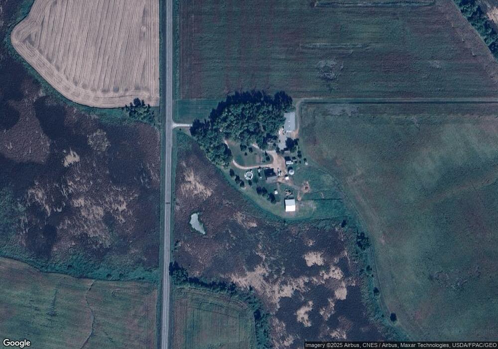
22423 594th Ave Mankato, MN 56001
Estimated Value: $412,000 - $571,000
4
Beds
2
Baths
2,218
Sq Ft
$218/Sq Ft
Est. Value
About This Home
This home is located at 22423 594th Ave, Mankato, MN 56001 and is currently estimated at $483,577, approximately $218 per square foot. 22423 594th Ave is a home located in Blue Earth County with nearby schools including Eagle Lake Elementary School, Prairie Winds Middle School, and Mankato East Senior High School.
Ownership History
Date
Name
Owned For
Owner Type
Purchase Details
Closed on
Jul 6, 2021
Sold by
Gibson David A and Gibson Darcy B
Bought by
Gibson Charles T and Cornelius Melissa A
Current Estimated Value
Home Financials for this Owner
Home Financials are based on the most recent Mortgage that was taken out on this home.
Original Mortgage
$202,000
Outstanding Balance
$183,284
Interest Rate
2.9%
Mortgage Type
New Conventional
Estimated Equity
$300,293
Create a Home Valuation Report for This Property
The Home Valuation Report is an in-depth analysis detailing your home's value as well as a comparison with similar homes in the area
Home Values in the Area
Average Home Value in this Area
Purchase History
| Date | Buyer | Sale Price | Title Company |
|---|---|---|---|
| Gibson Charles T | $322,000 | None Available |
Source: Public Records
Mortgage History
| Date | Status | Borrower | Loan Amount |
|---|---|---|---|
| Open | Gibson Charles T | $202,000 |
Source: Public Records
Tax History Compared to Growth
Tax History
| Year | Tax Paid | Tax Assessment Tax Assessment Total Assessment is a certain percentage of the fair market value that is determined by local assessors to be the total taxable value of land and additions on the property. | Land | Improvement |
|---|---|---|---|---|
| 2025 | $3,748 | $461,100 | $108,300 | $352,800 |
| 2024 | $3,748 | $414,200 | $108,300 | $305,900 |
| 2023 | $3,620 | $430,700 | $108,300 | $322,400 |
| 2022 | $3,474 | $401,000 | $108,300 | $292,700 |
| 2021 | $3,158 | $343,600 | $108,300 | $235,300 |
| 2020 | $2,822 | $299,700 | $88,500 | $211,200 |
| 2019 | $2,968 | $299,700 | $88,500 | $211,200 |
| 2018 | $2,804 | $313,500 | $88,500 | $225,000 |
| 2017 | $2,460 | $298,200 | $88,500 | $209,700 |
| 2016 | $2,378 | $276,800 | $88,500 | $188,300 |
| 2015 | $24 | $266,400 | $88,500 | $177,900 |
| 2014 | $2,704 | $268,700 | $88,500 | $180,200 |
Source: Public Records
Map
Nearby Homes
- 0 Tbd 227th St
- 60176 224th Ln
- 3216 Scotch Ln
- 3212 Scotch Ln
- 3208 Scotch Ln
- 0 Tbd Adams St Unit 7030778
- 3204 Scotch Ln
- 3200 Scotch Ln
- 0 Adams & County Rd 12
- 3124 Scotch Ln
- 3209 Scotch Ln
- 3120 Scotch Ln
- 3205 Scotch Ln
- TBD Power Dr
- 3206 Noble Dr
- 3204 Noble Dr
- 3203 Scotch Ln
- 3211 Scotch Ln
- 3200 Noble Dr
- 3120 Noble Dr