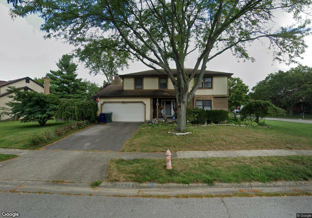
2244 Starleaf Ln Columbus, OH 43235
Brookside Colony NeighborhoodEstimated Value: $389,000 - $496,000
4
Beds
3
Baths
2,081
Sq Ft
$211/Sq Ft
Est. Value
About This Home
This home is located at 2244 Starleaf Ln, Columbus, OH 43235 and is currently estimated at $438,534, approximately $210 per square foot. 2244 Starleaf Ln is a home located in Franklin County with nearby schools including Indian Run Elementary School, Ann Simpson Davis Middle School, and Dublin Scioto High School.
Ownership History
Date
Name
Owned For
Owner Type
Purchase Details
Closed on
Jul 1, 1994
Sold by
Sillery Charles B
Bought by
Donna M Devol
Current Estimated Value
Home Financials for this Owner
Home Financials are based on the most recent Mortgage that was taken out on this home.
Original Mortgage
$112,000
Interest Rate
7.87%
Mortgage Type
New Conventional
Purchase Details
Closed on
Apr 19, 1990
Purchase Details
Closed on
Sep 1, 1983
Create a Home Valuation Report for This Property
The Home Valuation Report is an in-depth analysis detailing your home's value as well as a comparison with similar homes in the area
Home Values in the Area
Average Home Value in this Area
Purchase History
| Date | Buyer | Sale Price | Title Company |
|---|---|---|---|
| Donna M Devol | $125,500 | -- | |
| -- | $109,900 | -- | |
| -- | $107,800 | -- |
Source: Public Records
Mortgage History
| Date | Status | Borrower | Loan Amount |
|---|---|---|---|
| Closed | Donna M Devol | $112,000 |
Source: Public Records
Tax History Compared to Growth
Tax History
| Year | Tax Paid | Tax Assessment Tax Assessment Total Assessment is a certain percentage of the fair market value that is determined by local assessors to be the total taxable value of land and additions on the property. | Land | Improvement |
|---|---|---|---|---|
| 2024 | $7,815 | $129,220 | $39,270 | $89,950 |
| 2023 | $7,705 | $129,220 | $39,270 | $89,950 |
| 2022 | $7,281 | $113,470 | $28,350 | $85,120 |
| 2021 | $7,399 | $113,470 | $28,350 | $85,120 |
| 2020 | $7,354 | $113,470 | $28,350 | $85,120 |
| 2019 | $6,834 | $93,350 | $23,630 | $69,720 |
| 2018 | $3,430 | $93,350 | $23,630 | $69,720 |
| 2017 | $6,310 | $93,350 | $23,630 | $69,720 |
| 2016 | $5,438 | $75,570 | $20,480 | $55,090 |
| 2015 | $2,736 | $75,570 | $20,480 | $55,090 |
| 2014 | $5,477 | $75,570 | $20,480 | $55,090 |
| 2013 | $2,780 | $75,565 | $20,475 | $55,090 |
Source: Public Records
Map
Nearby Homes
- 2161 Heatherfield Ave
- 7373 Palmleaf Ln
- 2056 Fincastle Ct
- 6921 Spruce Pine Dr
- 1930 Shallowford Ave
- 2392 Dunsworth Dr
- 7385 Cimmaron Station
- 2001 Sawbury Blvd Unit 2001
- 2533 Timberside Dr
- 2220 Surreygate Dr
- 2456 Sanford Dr
- 2548 Timberside Dr Unit 2548
- 2546 Timberside Dr Unit 2546
- 1889 Slaton Ct Unit 1889
- 2469 Sandstrom Dr
- 1721 Worthington Run Dr Unit 1721-1731
- 7734 Henry David Ct
- 2074 Hard Rd
- 2488 Dunstan Dr
- 1828 Gardenstone Dr
- 7395 Mapleleaf Blvd
- 2262 Starleaf Ln
- 7403 Mapleleaf Blvd
- 7361 Mapleleaf Blvd
- 2251 Starleaf Ln
- 2270 Starleaf Ln
- 2259 Starleaf Ln
- 7411 Mapleleaf Blvd
- 7374 Mapleleaf Blvd
- 7382 Mapleleaf Blvd
- 2267 Starleaf Ln
- 7390 Mapleleaf Blvd
- 7366 Mapleleaf Blvd
- 2275 Starleaf Ln
- 2278 Starleaf Ln
- 7419 Mapleleaf Blvd
- 7353 Mapleleaf Blvd
- 7400 Mapleleaf Blvd
- 7358 Mapleleaf Blvd
- 2278 Palmleaf Ct