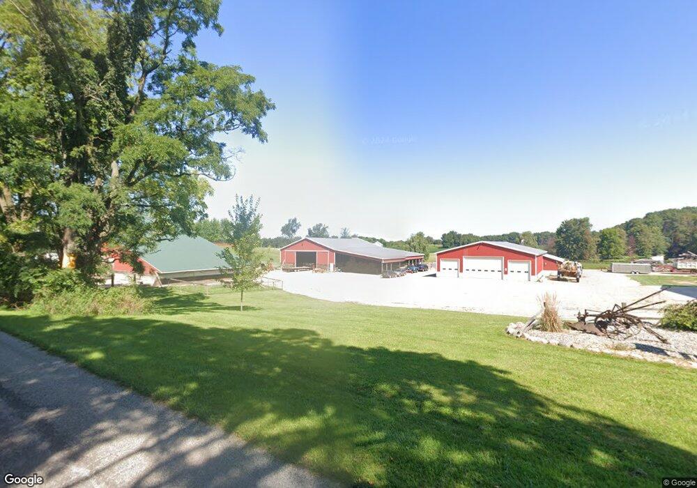
22441 B Dr S Marshall, MI 49068
Estimated Value: $324,000 - $676,434
4
Beds
2
Baths
1,768
Sq Ft
$283/Sq Ft
Est. Value
About This Home
This home is located at 22441 B Dr S, Marshall, MI 49068 and is currently estimated at $500,217, approximately $282 per square foot. 22441 B Dr S is a home with nearby schools including Harrington Elementary School, Marshall High School, and Cooks Prairie Baptist School.
Ownership History
Date
Name
Owned For
Owner Type
Purchase Details
Closed on
Mar 21, 2023
Sold by
Reynolds Emma Chervinsky
Bought by
Reynolds Emma Chervinsky and Reynolds Michael
Current Estimated Value
Purchase Details
Closed on
Jan 12, 2012
Sold by
Fast Dennis Lee
Bought by
Fast Dennis L and Dennis L Fast Revocable Trust
Purchase Details
Closed on
Sep 21, 2001
Sold by
Hughes Paul W
Bought by
Fast Dennis Lee
Purchase Details
Closed on
Jul 26, 2000
Sold by
Hughes Paul W
Bought by
Peart Tom and Peart Diane
Purchase Details
Closed on
May 24, 2000
Sold by
Hughes Paul W and Hughes Kathryn M
Bought by
Hughes Paul W
Create a Home Valuation Report for This Property
The Home Valuation Report is an in-depth analysis detailing your home's value as well as a comparison with similar homes in the area
Home Values in the Area
Average Home Value in this Area
Purchase History
| Date | Buyer | Sale Price | Title Company |
|---|---|---|---|
| Reynolds Emma Chervinsky | -- | -- | |
| Fast Dennis L | -- | None Available | |
| Fast Dennis Lee | $273,800 | -- | |
| Peart Tom | $100,000 | -- | |
| Hughes Paul W | -- | -- |
Source: Public Records
Tax History
| Year | Tax Paid | Tax Assessment Tax Assessment Total Assessment is a certain percentage of the fair market value that is determined by local assessors to be the total taxable value of land and additions on the property. | Land | Improvement |
|---|---|---|---|---|
| 2025 | $7,694 | $298,960 | $0 | $0 |
| 2024 | $2,671 | $259,470 | $0 | $0 |
| 2023 | -- | $242,250 | $0 | $0 |
| 2022 | $2,423 | $254,900 | $0 | $0 |
| 2021 | $6,680 | $248,890 | $0 | $0 |
| 2020 | $6,680 | $291,240 | $0 | $0 |
| 2019 | $0 | $288,310 | $0 | $0 |
| 2018 | $0 | $245,600 | $83,600 | $162,000 |
| 2017 | $0 | $231,880 | $0 | $0 |
| 2016 | $0 | $210,970 | $0 | $0 |
| 2015 | -- | $226,460 | $129,748 | $96,712 |
| 2014 | -- | $208,600 | $129,748 | $78,852 |
Source: Public Records
Map
Nearby Homes
- 24 Mile Rd
- 308 State St
- 0 W Winter St
- 0 Mill St
- 8100 22 1 2 Mile Rd
- 25953 D Dr S
- 19250 Homer Rd
- 13976 20 Mile Rd
- 18493 Homer Rd
- 10505 18 1 2 Mile Rd
- 0 Homer Rd
- 0 27 Mile Rd
- 15252 27 Mile Rd
- VL W Michigan Ave
- 903 Cram Ln
- 1000 Industrial Blvd
- 1002 Austin Ave
- 711 Orchard Dr
- 1190 Primrose Ct
- VL Partello Rd
Your Personal Tour Guide
Ask me questions while you tour the home.